Burnt-Rossman State Forest 📍

Burnt-Rossman Hills State Forest, spanning an impressive 10,588 acres, proudly holds the distinction of being Schoharie County’s largest state forest. This natural haven has garnered immense popularity among enthusiasts of outdoor pursuits such as hiking, camping, and various recreational activities.

Traversing a segment of this expansive landscape is the Long Path, a trail adorned with aqua blazes, stretching over 350 miles. Within this forest, the Eminence Lean To stands as a notable point of interest along the Long Path, positioned roughly 0.5 miles to the east of Old Cemetery Road. A crossing of Old Cemetery Road can be spotted just to the south of an ancient burial ground.

Among the captivating features of the forest are the campsites discreetly nestled along Betty Brook Road, as well as the inviting spots found at Duck Pond, situated along Burnt Hill Road.

For those with a penchant for angling and boating, Looking Glass Pond, located along Rossman Hill Road, offers an inviting prospect. This charming pond not only facilitates fishing and boating but also boasts well-maintained fishing platforms courtesy of the Fulton Fish and Game Club.

Download the PDF Map Pack
🗺️ Maps 🖼️ Photos 📽️ Videos
Thematic Map: Fifty Least Densely Populated Municipalities in NY State
Map: Empire State Topography

Third Weekend at Burnt-Rossman

The primitive campsites at Burnt-Rossman are my favorite place to visit. They are in a remote part of Schoharie County, yet only a 10 minute drive from I-88 and a total of an hour and ten minutes from my place in Delmar. There is ample water, and the sites have nice little fireplaces, and places to camp where you can drive in.

Stone Table

It rained on Friday night, so I put up my tarp. I spent much of Saturday going between the creek up there with my feet in there, and sitting in this very comfortable chair, reading Noel Perin’s Third Person Rural. It was very quiet Saturday, seeing all but one pickup going past, plus a family in a minivan, and three people riding horseback with cowboy hats.

Betty Brook

I had my Christmas lights up and stayed up really late several nights. It was great, and beat the horrible humid weather that people in Albany had to suffer through during this very warm weekend.


View Hiking in 2009 in a larger map
Thematic Map: Each dot represents a census block with 100 New Yorkers

Back at Burnt Rossman

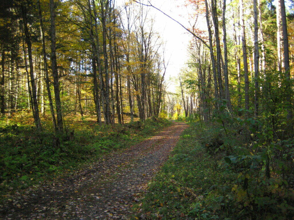
One of my favorite state forests for drive-in camping, I decided to stop by on my way back to Albany from hiking Mount Tremper. I arrived around 5 PM, after checking out some sites along Cole Brook Road. This area was pretty grown up, and while a designated camping area in the master plan, it wasn’t clear where property lines where. Driving along Cole Brook Road would be rough by anybody’s terms, impassable by passenger car, but rough in a pickup with worn-out shocks.

Camping

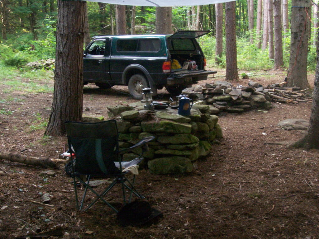
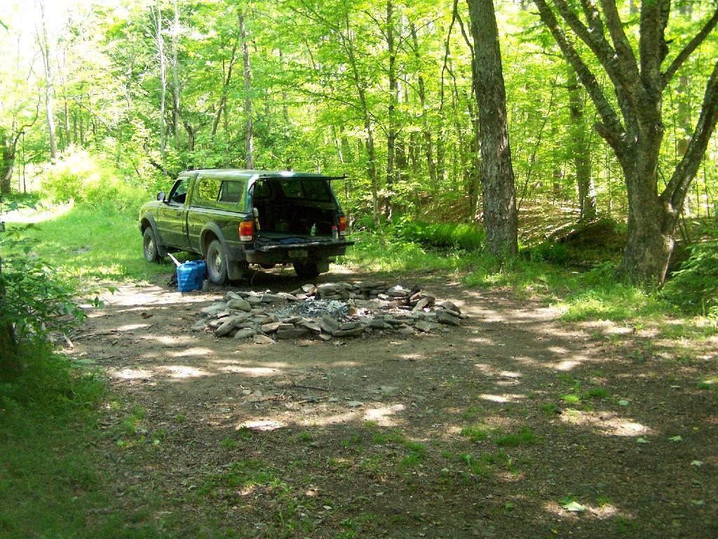
It was a pleasant night, I stayed up until 1 AM listening to music and reading by the camp fire. The fire was big and great, although I have to admit the smoke kind of blew my way so I had to move the truck. My new truck battery was strong, although I did let the truck idle for 20 minutes around 11:30 PM just to make sure I would be good to go.

I ended up camping one site lower then my preferred site as another family was camping up there. Hopefully I didn’t keep them up with my Merle Haggard. It was a good night for sure.

I got up around 12 noon the next day, after a good nights sleep, then decided to check out the State Truck Trail north-east spur off of Tamarack Road. It proceeded about two miles back, along logged sections and white pine forests, back to an area with a sign pointing to a lake. I got out of my truck to start hiking back that way, but seeing Turkey Hunters, I decided to give them distance, and hopped in my truck and drove over to Vromans Nose.


View Hiking in 2009 in a larger map