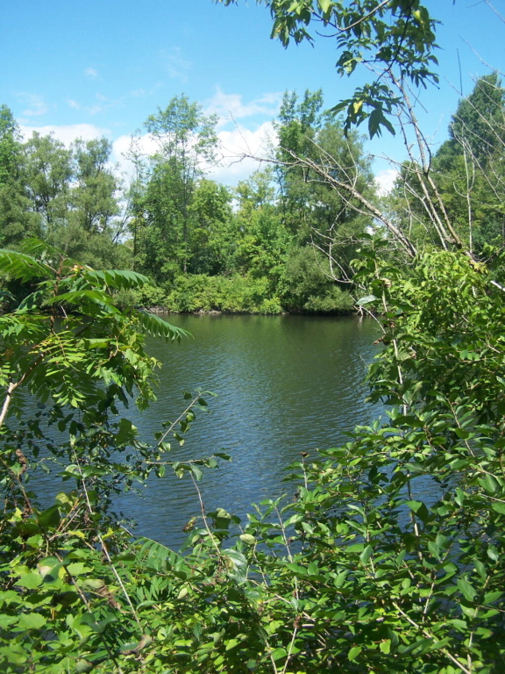
The View Under the I-790 Interchange
A pretty complicated interchange, with large industrial lights reflecting into the Erie Canal.
Saturday August 27, 2011 — Utica Marsh — Utica Marsh Wildlife Management Area 🗺

A pretty complicated interchange, with large industrial lights reflecting into the Erie Canal.
Saturday August 27, 2011 — Utica Marsh — Utica Marsh Wildlife Management Area 🗺

Near the Utica Marsh is a town known as Marcy, that is home to the Niagara Mohawk Switchyard and Substation, that directs massive flows of electricity from Niagara Falls, and Massena Hydrodams, along with other large generating plants in Western NY, to consumers state wide -- most being in New York City. One of many big power lines in the area.
Saturday August 27, 2011 — Utica Marsh — Utica Marsh Wildlife Management Area 🗺


The first part of the Erie Canal Bike Trail (paved) from the North Genesee Street Park and Ride, goes past the NYSDOT building and garage, then passes this old capped landfill. Kind of a scene of industrial horror.
Saturday August 27, 2011 — Utica Marsh — Utica Marsh Wildlife Management Area 🗺