Fonda – Fultonville 1896
Not a lot has changed in this sleepy Mohawk Valley town over the years except for the Thruway coming through in the 1950s.
Not a lot has changed in this sleepy Mohawk Valley town over the years except for the Thruway coming through in the 1950s.

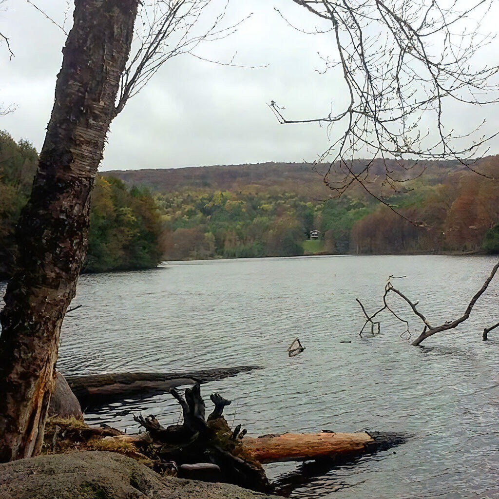
One of the things that always fascinates me is the hydrology of the Erie Canal — the dozens of reservoirs that keep the Erie Canal flowing regardless of weather condition all summer long.
The hydrology of the entire Western Adirondacks and much of Central NY has over time been redirected in part to flow into the Erie Canal to ensure adequate water supply even in the driest weather.
The Black River is dammed up, almost at it’s start, with the North and Middle Branches being dumped into the the 3-mile long North Lake, and it’s South Branch being dammed up in the 2-mile South Lake. Water is slowly drained out during dry times to keep the Black River flowing. Kayuta Lake Reservoir provides additional storage. Additionally, Wolf Lake and Woodhull Lake were dammed up and raised several feet to add supply to Little Woodhull Creek which also flows into the Black River at Forestport Reservoir.
At Forestport Reservoir, the Black River Canal Feeder brings water from the Black River to the former Black River Canal via Boonville. From there, the former Black River Canal brings water to the Lansing Kill. The Lansing Kill brings the water to the Mohawk River and Delta Reservoir and ultimately the Erie Canal in Rome (the highest portion of the entire canal).
The canal system also taps other rivers, including the West Branch of the Canada Creek via the Hinckley Reservoir which is fed by other reservoirs including Honnedaga Lake which feeds the Honnedaga Brook to the West Branch. This is less interesting then the other system, as Honnedaga Lake is in the Mohawk Valley Watershed (versus the Black River which is in the Black River Watershed). West Canada Creek feeds into the Mohawk River at Herkimer.
To the south in Madison County is Lake Moraine, which feeds the old Chenango Canal and ultimately the Oriskany Creek and the Erie Canal via Oriskany. This is a much smaller reservoir then ones in the Adirondacks, but is unique in being one of the few ones south of the Mohawk River.
Work began here in Rotterdam in 1908 on Erie Barge Canal Lock 8. In addition to constructing Lock 8, engineers built a three-span moveable dam (about 510 feet wide) that raises boats heading upstream as much as 15 feet when the dam is activated. Many people mistake the dam for a bridge, (which it is not) but a walkway that allows for necessary maintenance. Beneath the dam's trusses are steel frames each containing a giant steel plate. Below the dam's base, a concrete sill constructed on the river bed spans the river's width. When these frames are swung open and lowered by chains onto the sill, they form a dam.
Dam gates can be adjusted up or down almost like window shades, to control the volume of water and its rate of flow. Raising or lowering the dam must be carefully coordinated with the lock operators downstream to prevent the release of too much water which might flood the river bank banks. Therefore, lock gates downstream must all be raised or lowered accordingly.