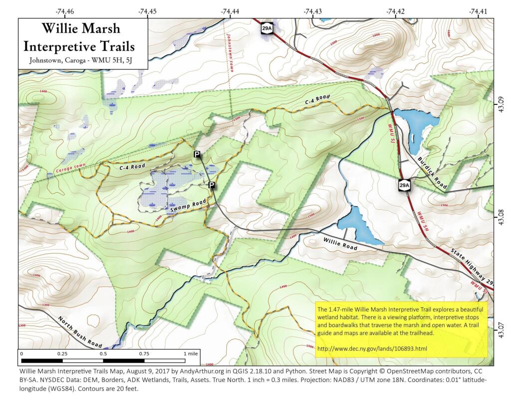
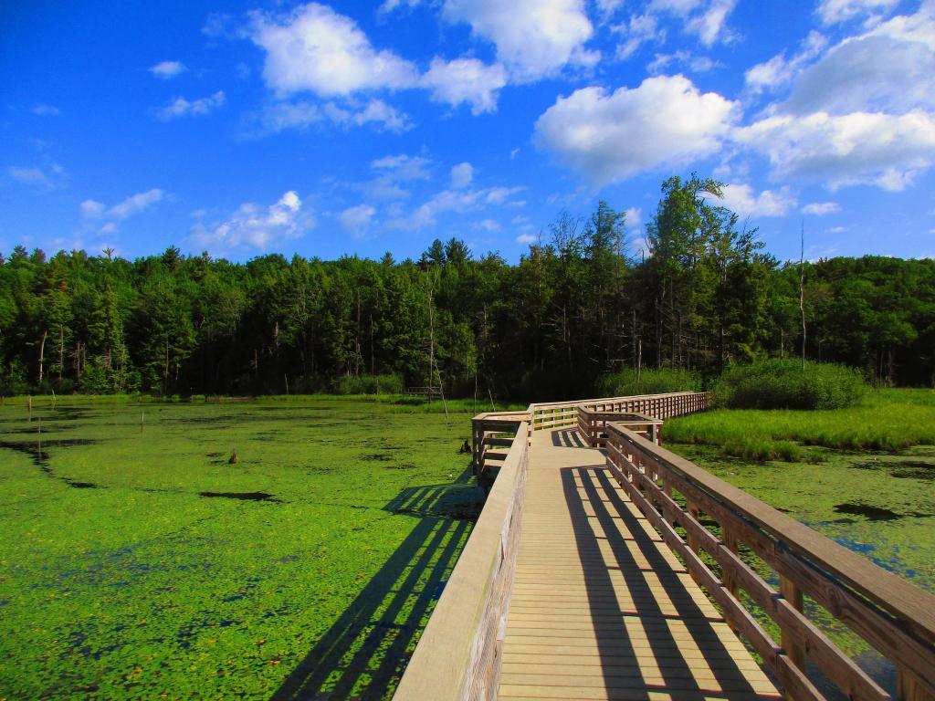
Mohawk Valley 📍

🖼️ Photos 📽️ Videos

Lock 8

Work began here in Rotterdam in 1908 on Erie Barge Canal Lock 8. In addition to constructing Lock 8, engineers built a three-span moveable dam (about 510 feet wide) that raises boats heading upstream as much as 15 feet when the dam is activated. Many people mistake the dam for a bridge, (which it is not) but a walkway that allows for necessary maintenance. Beneath the dam's trusses are steel frames each containing a giant steel plate. Below the dam's base, a concrete sill constructed on the river bed spans the river's width. When these frames are swung open and lowered by chains onto the sill, they form a dam.

Dam gates can be adjusted up or down almost like window shades, to control the volume of water and its rate of flow. Raising or lowering the dam must be carefully coordinated with the lock operators downstream to prevent the release of too much water which might flood the river bank banks. Therefore, lock gates downstream must all be raised or lowered accordingly.

https://www.hmdb.org/m.asp?m=130555

SVGZ Graphic: BMI of Americans
Map: Floodwood Pond Loop
Map: Empire State Topography

Trace the Black River Canal !

If you want to do something fun, you can trace how the Alder Pond Dam diverts water from the upper Black River lakes (such as North Lake, Woodhull Lake, South Lake, Sand Lake) into the Black River Canal, the upper part which is still used for moving water to the Lansing Kill which dumps into the Mohawk River and Delta Reservoir in Westernville.

Map: Spy Lake
Thematic Map: Each dot represents a census block with 100 New Yorkers