Madison County, NY 📍

Madison County, situated in central New York State, is home to a population of 73,442 as per the 2010 census. This county is a pivotal part of the Syracuse, NY Metropolitan Statistical Area. Positioned east of Syracuse, slightly north of Binghamton, and west of Albany, Madison County holds the honor of housing the state’s geographic center in Pratts Hollow, within the Town of Eaton. With Oneida Lake and Oneida Creek framing part of its northern border and Chittenango Creek defining the western boundary, Madison County boasts picturesque landscapes.

This page focuses on free camping opportunities on state land within Madison County, extending an invitation for outdoor enthusiasts to explore the region’s diverse offerings, including hiking, biking, kayaking, and various outdoor pursuits.

Download the PDF Map Pack
🗺️ Maps 🖼️ Photos 📽️ Videos

Camping Area

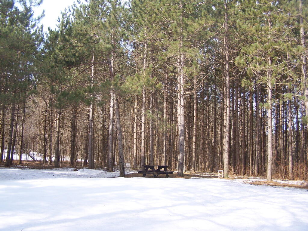
This is one of the camping areas designated on the Brookfield Trail System Map. As far as I could tell there was no developed facilities here besides the lone picnic table. There must be firepits somewheres under the one or two feet of snow.

Saturday April 9, 2011 — Charles Baker State ForestCharles Baker State Forest 🗺Charles Baker State Forest Auto Tour Route 🗺Charles Baker State Forest Horse and Truck Trails 🗺PDF with All Maps 📚
Map: Normans Kill Ravines Preserve
Map: Sand Lake
Thematic Map: Downtown Albany - Non-Tax Exempt Properties
Map: Stone Dam Campground
Map: Severence Hill Trail