
Canada Goose
Driving out to Brookfield this past weekend, I decided to stop and take a break at Weaver Lake, a public fishing lake. I got some interesting images.
Saturday April 9, 2011 — Great Western Turnpike — Weaver Lake 🗺
Driving out to Brookfield this past weekend, I decided to stop and take a break at Weaver Lake, a public fishing lake. I got some interesting images.
Saturday April 9, 2011 — Great Western Turnpike — Weaver Lake 🗺

A marshy lake/pond along US 20 in Weaver, NY.
Saturday April 9, 2011 — Great Western Turnpike — Weaver Lake 🗺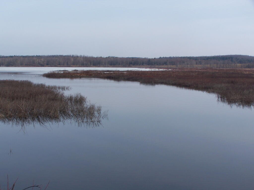

Crosses by the old Erie Canal.

Cazenovia Lake flows south into the Chittenango Creek, then flows north through the Chittenango Gorge north to both the Old Erie Canal and the Oneida Lake. But that's not the only thing werid of the Chittenango Creek - it flows south from a farm pond on Mutton Hill, south to Nelson Swamp before turning north outside of Juddsville.


