Madison County, NY 📍

Madison County, situated in central New York State, is home to a population of 73,442 as per the 2010 census. This county is a pivotal part of the Syracuse, NY Metropolitan Statistical Area. Positioned east of Syracuse, slightly north of Binghamton, and west of Albany, Madison County holds the honor of housing the state’s geographic center in Pratts Hollow, within the Town of Eaton. With Oneida Lake and Oneida Creek framing part of its northern border and Chittenango Creek defining the western boundary, Madison County boasts picturesque landscapes.

This page focuses on free camping opportunities on state land within Madison County, extending an invitation for outdoor enthusiasts to explore the region’s diverse offerings, including hiking, biking, kayaking, and various outdoor pursuits.

Download the PDF Map Pack
🗺️ Maps 🖼️ Photos 📽️ Videos
Thematic Map: Veterans in Troy and Nearby Area

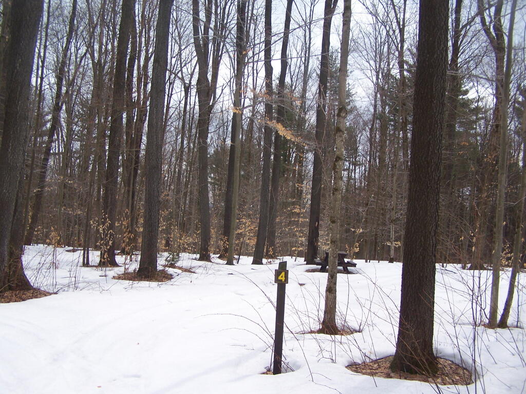
Campsite 3

Up on Cherry Ridge. Nice campsites with picnic tables, fire rings, and a set of two outhouses off of the loop. Looks like a place I definitely want come back and camp in nicer weather, possibly on a trip out to the Finger Lakes or Pennsylvania.

Saturday April 9, 2011 — Charles Baker State ForestCharles Baker State Forest 🗺Charles Baker State Forest Auto Tour Route 🗺Charles Baker State Forest Horse and Truck Trails 🗺PDF with All Maps 📚
Thematic Map: Schenectady Business Improvement District

Plowed Brown Road

Brown Road and Truck Trail 8, near the Cherry Ridge Camping Area. While it's great that it was plowed all the way back here -- to provide access to a private inholding, there was no way to reach Cherry Ridge. I was disappointed, although the camping down at Moscow Hill Camping Area wasn't that bad.

Saturday April 9, 2011 — Charles Baker State ForestCharles Baker State Forest 🗺Charles Baker State Forest Auto Tour Route 🗺Charles Baker State Forest Horse and Truck Trails 🗺PDF with All Maps 📚
Map: Empire State Topography

End of Truck Trail 8

I would have had to driven up the unplowed Truck Trail Number 8 to have reached the Cherry Ridge Camping-area. While the snow and ice was well packed where the snowmobiles had been driven, and I had a snow-shovel, I decided I would not risk getting stuck.

Saturday April 9, 2011 — Charles Baker State ForestCharles Baker State Forest 🗺Charles Baker State Forest Auto Tour Route 🗺Charles Baker State Forest Horse and Truck Trails 🗺PDF with All Maps 📚
Map: Deer River State Forest

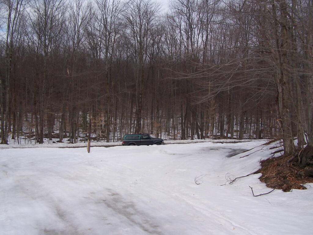
Campsite 1

Up on the Cherry Ridge Camping Area, where there are eight campsites, separated by a nice wooded privacy buffer. This is the area I had hoped to camp at, but being shaded by the trees and at 1800 feet elevation, there was still a lot of snow left. I was tempted to try to drive up the snow and ice to get here, but decided I didn't want to risk getting stuck.

Saturday April 9, 2011 — Charles Baker State ForestCharles Baker State Forest 🗺Charles Baker State Forest Auto Tour Route 🗺Charles Baker State Forest Horse and Truck Trails 🗺PDF with All Maps 📚
Map: Connecticut Hill Wildlife Management Area   Ortho