This is Cool


This is the oldest trestle bridge in the nation. That's kind of neat.
Wednesday October 21, 2009 — Walkway Over the Hudson


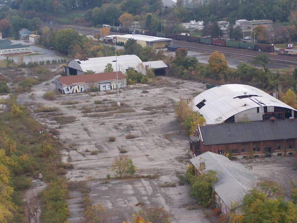
Looking over a section of Poughkeepsie with abandoned buildings on the waterfront. This is disappointing, could be developed into high value properties.
Wednesday October 21, 2009 — Walkway Over the Hudson