Shoreline
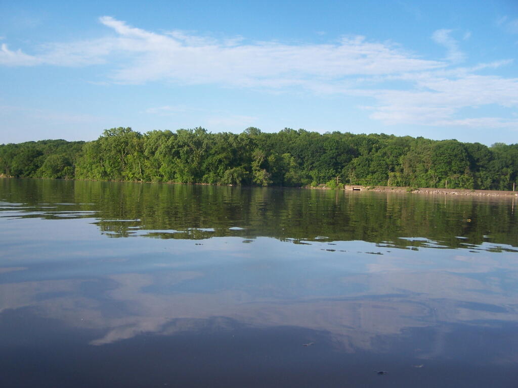
Behind Gays' Point and the relatively flat water in this area.
Saturday June 4, 2011 — Hudson River Islands State Park

Behind Gays' Point and the relatively flat water in this area.
Saturday June 4, 2011 — Hudson River Islands State Park


The under-truss bridge is remarkably beautiful structure, largely under appreciated by the general public.
Saturday May 7, 2011 — Kayak the Hudson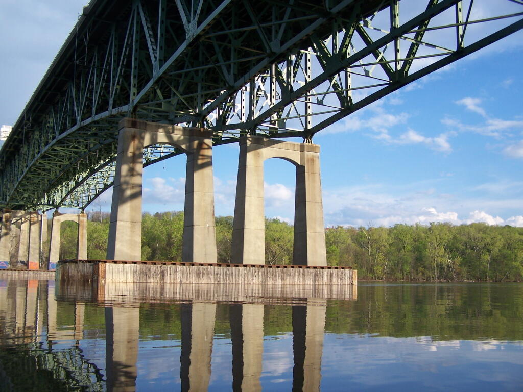

Not too bad of an afternoon the on the Hudson. Fairly sunny, and flat water. Much of the Hudson River between Albany and Troy is undeveloped, because when suburbia was creeping in during the 1950s and 1960s, the the Hudson River was not somewhere you would want to live near, much less kayak along.
Saturday May 7, 2011 — Kayak the Hudson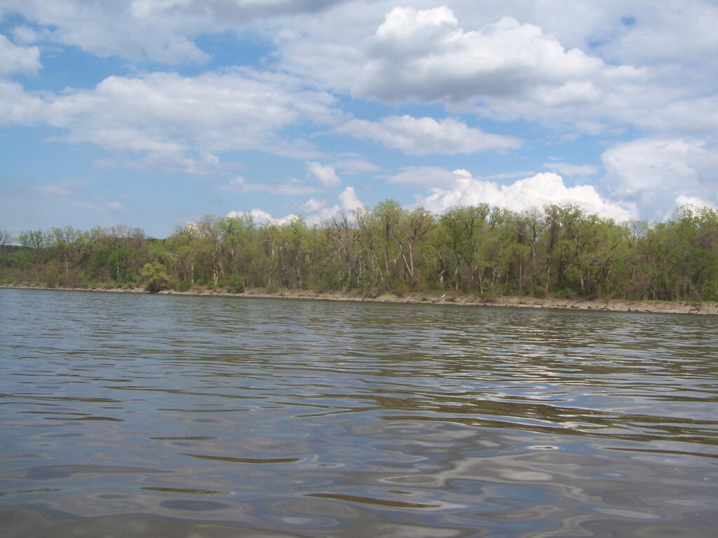

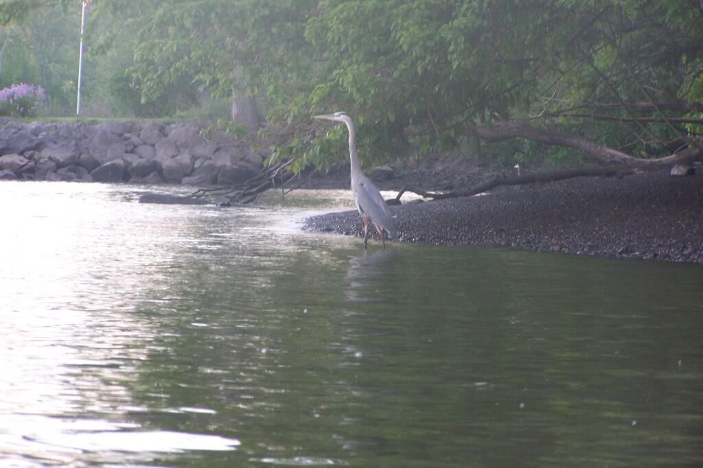
One of the things you will see paddling along the Hudson River in a kayak is a lot of Great Blue Herons along the shoreline. They like fish, and outside of the cities, the river is often quite quiet and undeveloped.
Saturday May 19, 2012 — Kayak the Hudson