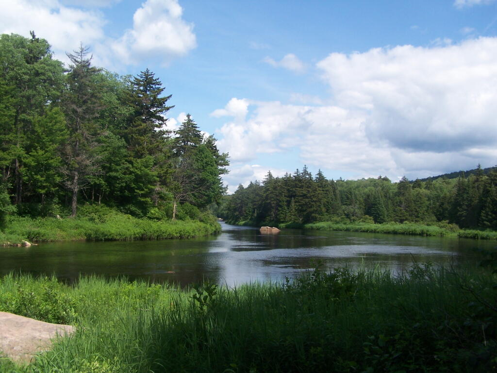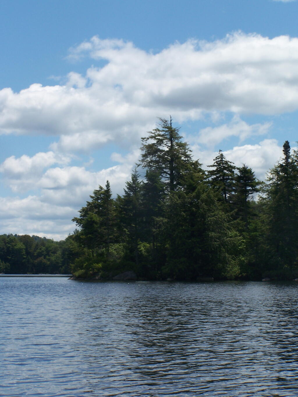
North Lake Reservior
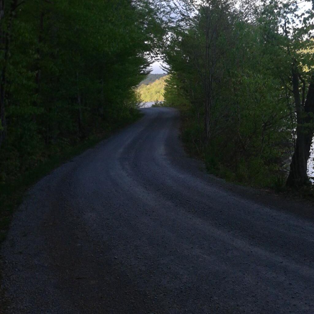
There are several designated campsites along North Lake both on the Conservation Easement and on the Black River Wild Forest. About 15 sites are drive-in, the rest are paddle-in or walk-in.
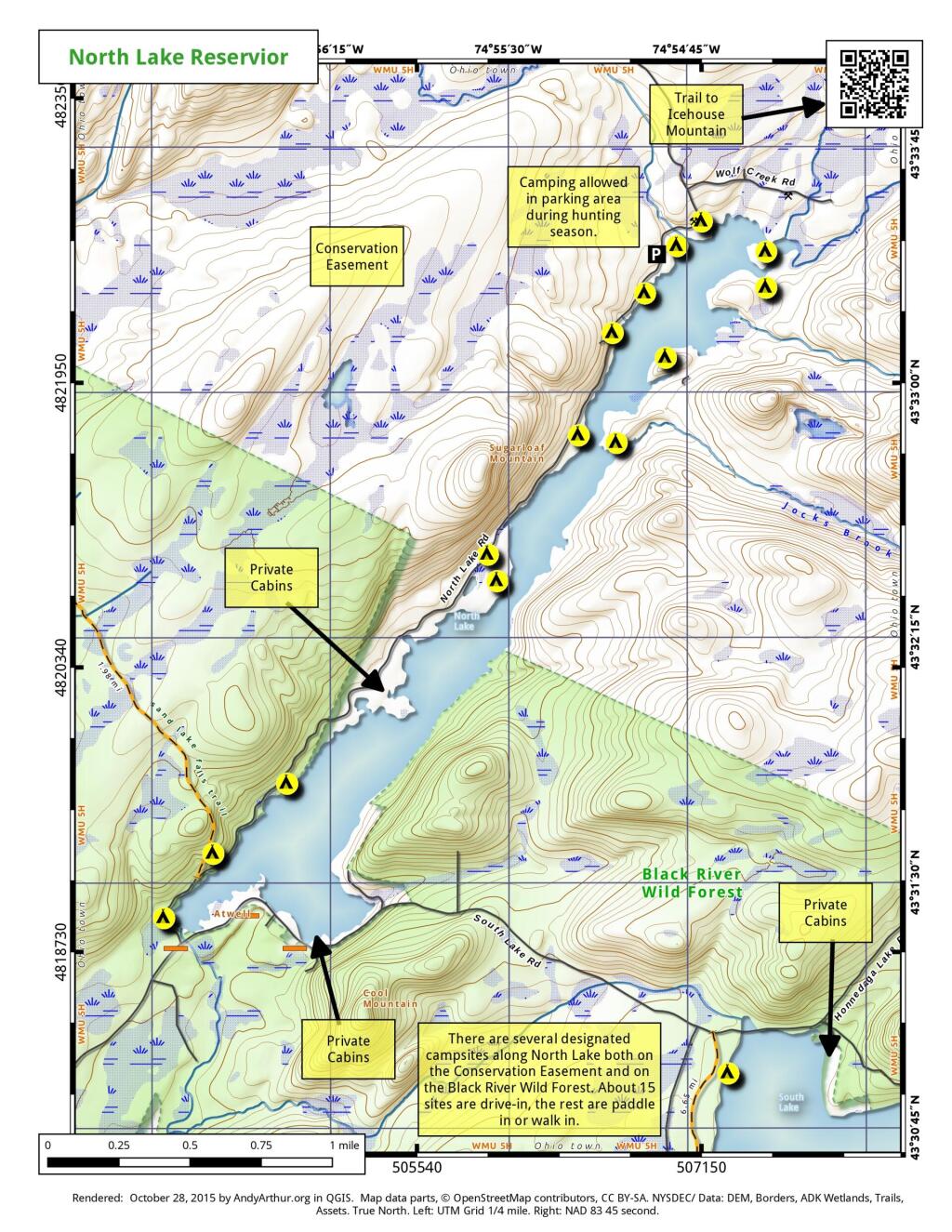
There are several designated campsites along North Lake both on the Conservation Easement and on the Black River Wild Forest. About 15 sites are drive-in, the rest are paddle-in or walk-in.