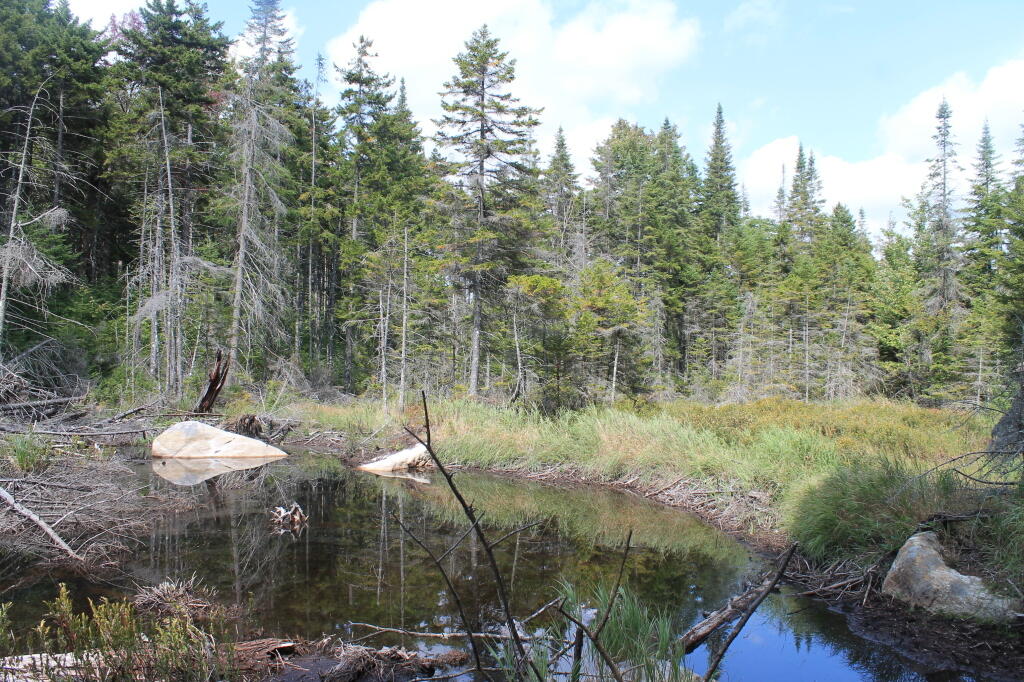
Falls Pond Creek

Lots of color looking across Pillsbury Lake although the leaves are gone from the higher elevations.
Sunday September 27, 2020 — West Canada Lake Wilderness — Brooktrout And Deep Lake 🗺 — Cedar Lakes 🗺 — Deep Pond Trail 🗺 — Pillsbury Lake 🗺 — Spruce Lake 🗺 — T Lake Trail 🗺 — West Canada Lakes 🗺— PDF with All Maps 📚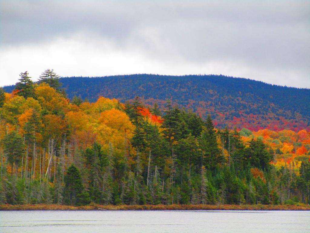

Quite a pretty little lake, tucked away in West Canada Lake Wilderness.
Monday September 3, 2012 — Falls Pond — Falls Pond 🗺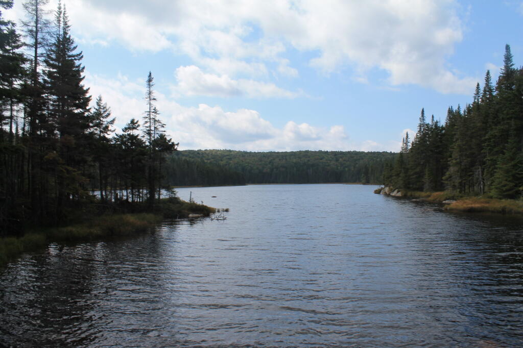


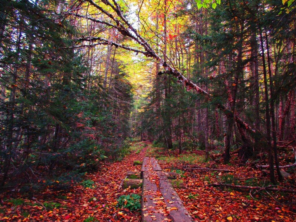
This boardwalk, while totally unneccessary with the dry soils of recent, was a nice place to sit.
Sunday September 27, 2020 — West Canada Lake Wilderness — Brooktrout And Deep Lake 🗺 — Cedar Lakes 🗺 — Deep Pond Trail 🗺 — Pillsbury Lake 🗺 — Spruce Lake 🗺 — T Lake Trail 🗺 — West Canada Lakes 🗺— PDF with All Maps 📚