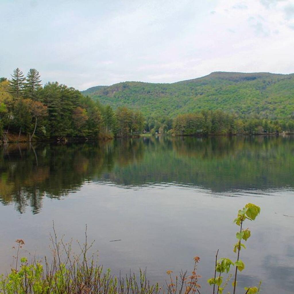
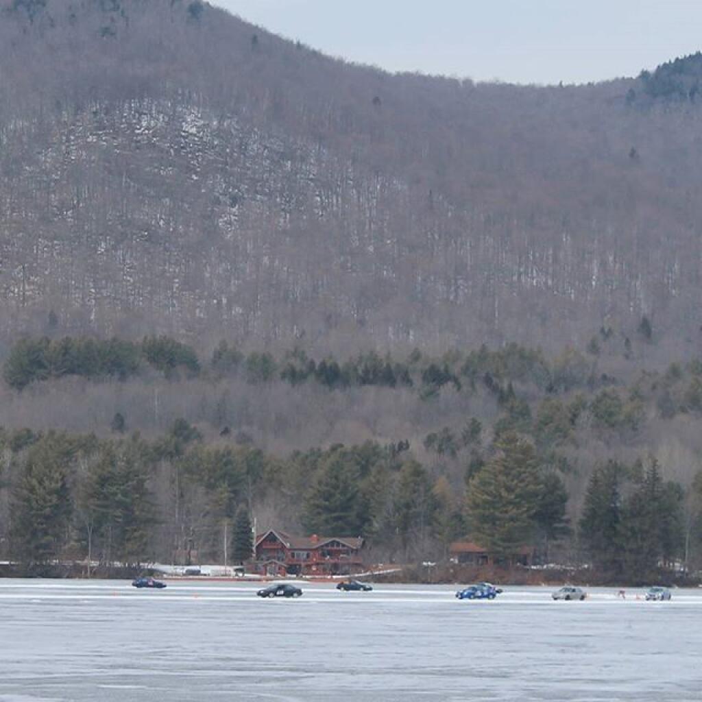
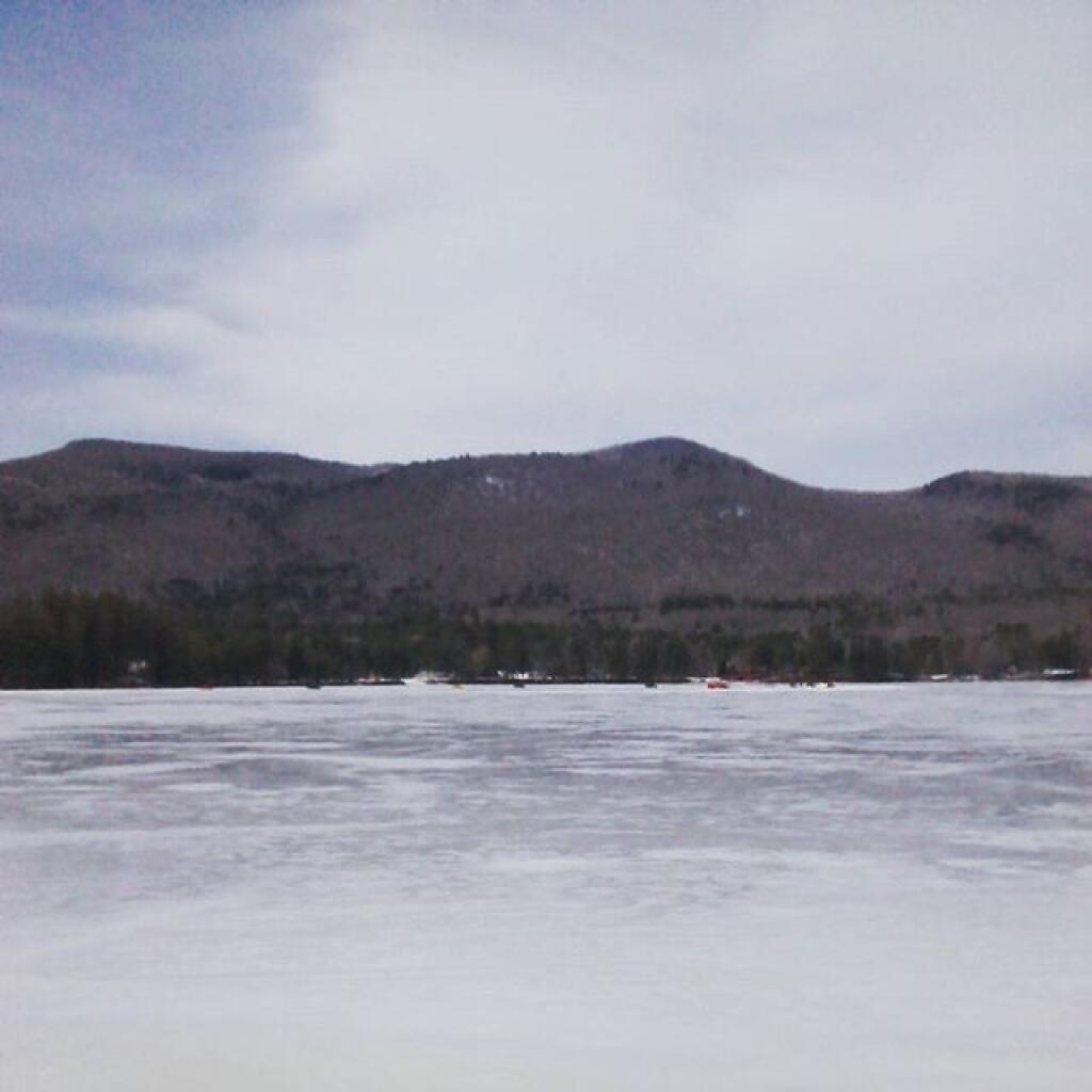
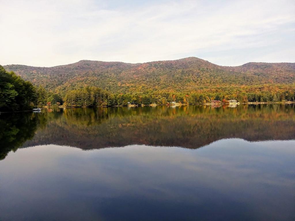
Lake Algonquin is the center of the small hamlet of Wells, easily seen from Route 30, with a few nice boating access points.
Wells is a nice hamlet stretching for about three miles along Lake Algonquin, a town owned lake that is yet another dammed up part of the Sacandaga River. To the north, there’s a small but free sandy town lake beach at the foot of the Route 30 bridge. Also, the town maintains a free dock and boat launch on the west side of the lake.