Clouds Hang Over Siamese Ponds


The bridge was about 15 feet above the water level when I was there, so they must gets some crazy torrents of water sometimes up there.
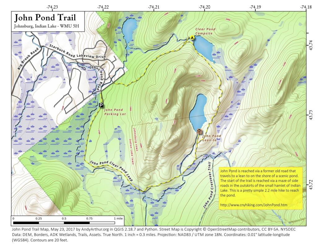
Monday December 2, 2024 — Siamese Pond Wilderness — Botheration Pond Trail 🗺 — John Pond - Clear Pond Loop 🗺 — John Pond Trail 🗺 — Peaked Mountain Trail 🗺 — Raymond Brook Ski Trail 🗺 — Second Pond Trail 🗺 — Siamese Ponds 🗺— PDF with All Maps 📚

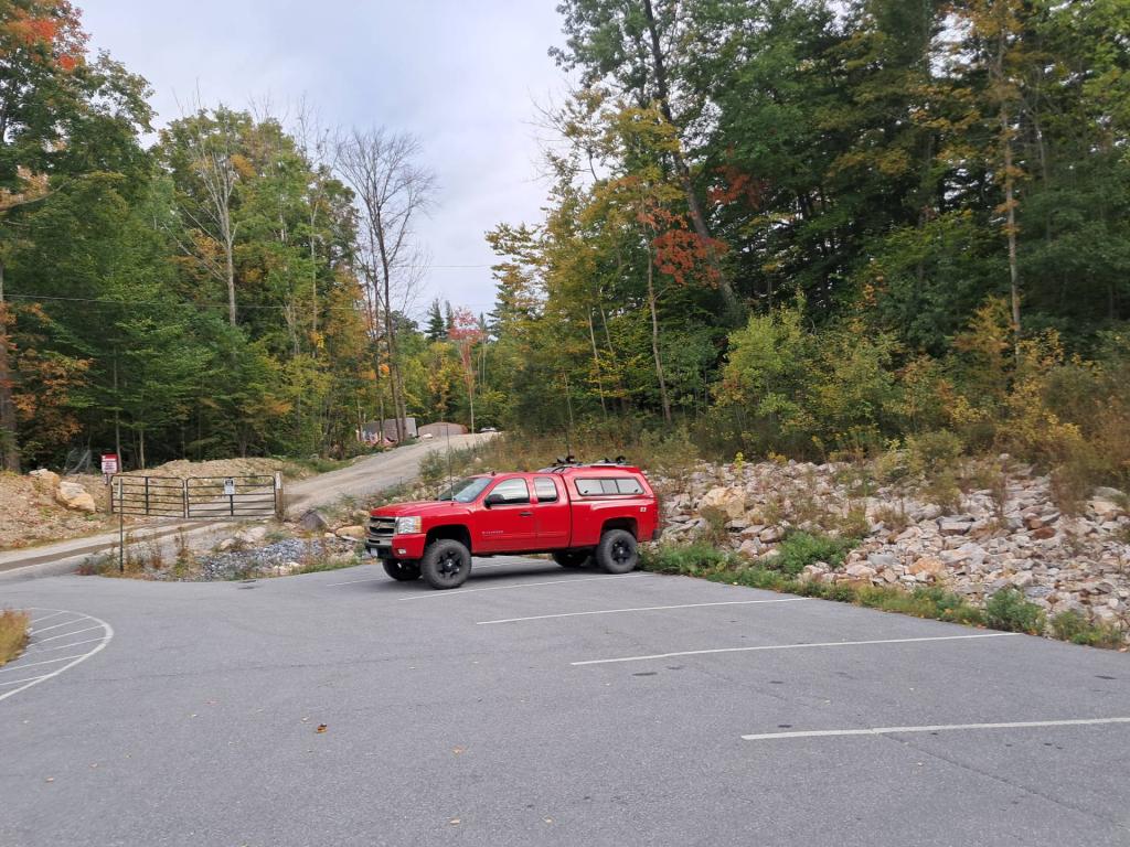
Long hike back there trampling through the snow but I'm glad I did it. Left the trailhead at 10 am and was back to my truck at dusk at 4:45 pm.
Monday December 2, 2024 — Siamese Pond Wilderness — Botheration Pond Trail 🗺 — John Pond - Clear Pond Loop 🗺 — John Pond Trail 🗺 — Peaked Mountain Trail 🗺 — Raymond Brook Ski Trail 🗺 — Second Pond Trail 🗺 — Siamese Ponds 🗺— PDF with All Maps 📚