Greene County 📍

Greene County is a county located in the U.S. state of New York. Its name is in honor of the American Revolutionary War general Nathanael Greene. As of the 2010 census, the population was 49,221. Its county seat is Catskill. It is part of the Albany-Schenectady-Troy Metropolitan Statistical Area.

Greene County is located in southeast central New York State, just west of the Hudson River and south of Albany.

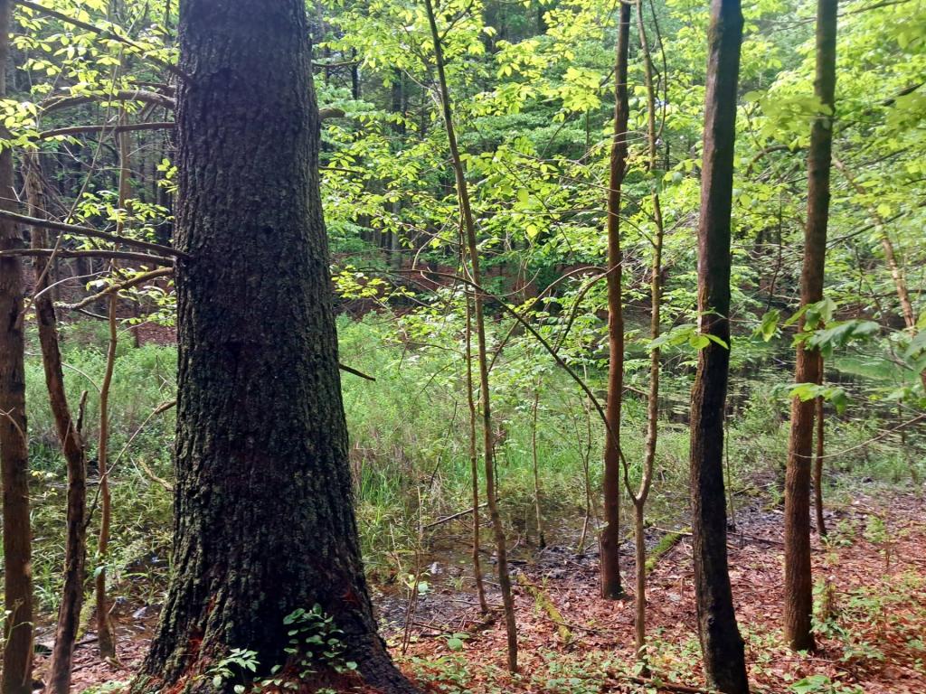
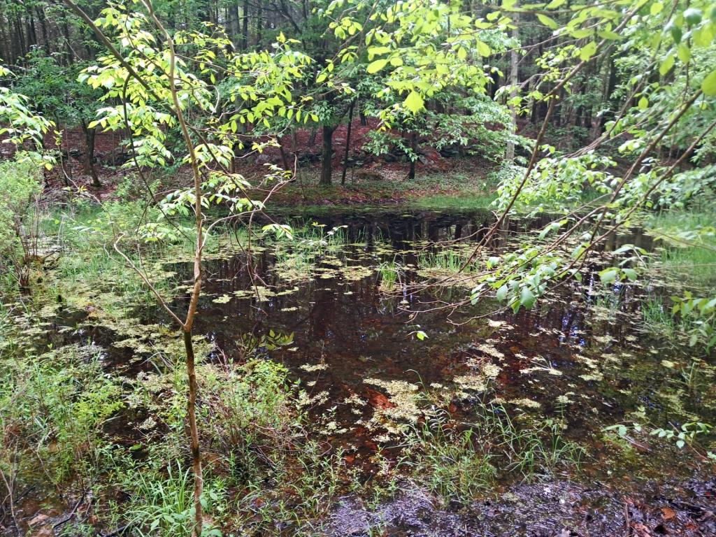
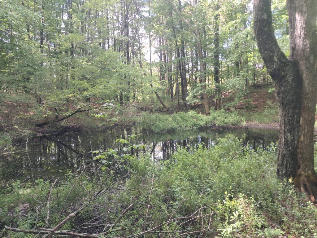
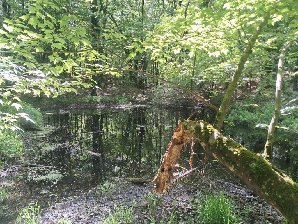
The northern and eastern regions are mostly low-lying flatlands. Along the Hudson River the lowest elevation is at sea level. The southern and western areas rise sharply into the Catskill Mountains.

Catskill Park takes up much of the south central region. The park contains some of the tallest peaks south of the Adirondacks. For example, the highest elevation is Hunter Mountain, at approximately 4,040 feet (1,232 m) above sea level; In addition, there are many picturesque waterfalls in the park such as the famed, Kaaterskill Falls.

http://en.wikipedia.org/wiki/Greene_County,_New_York

🗺️ Maps 🖼️ Photos

Harding Road Trail

The Harding Road Trail in Palenville, New York, is a historic, scenic trail that ascends the so-called “Great Wall of the Catskills” from the base of Kaaterskill Clove up to the high escarpment.

The trail follows an erroded 2.7-mile abandoned 19th-century carriage road built by hotel tycoon George Harding in 1881. It originally served as a scenic mountain pass to transport wealthy vacationers from the valley up to the massive, long-gone Kaaterskill Hotel on South Mountain.  Because it was designed for horses and carriages, the path is wide (originally close to 25 feet across) and features a steady, gradual incline rather than the steep rock scrambles common to other Catskill Trails. This makes it popular for hiking, trail running, snowshoeing, and horseback riding. 

Harding Road Trail

Popular Hiking Routes 🥾

While the Harding Road Trail itself is a 2.7-mile segment, hikers almost always combine it with connecting trails on the Escarpment to reach stunning viewpoints: 

  • Harding Road to Inspiration Point: A 7.3-mile out-and-back route. You climb the Harding Road Trail until it hits the blue-marked Escarpment Trail, leading to a massive, panoramic ledge overlooking Kaaterskill Clove, local ski hills, and the valley. It takes roughly 4 hours to complete.
  • Palenville Overlook Loop: An 8.4-mile out-and-back/loop hybrid. This route tracks up Harding Road, branches onto the Sleepy Hollow Horse Trail, and reaches the Palenville Overlook, where you will find exceptional views, hand-built stone chairs, and a fire pit.
  • Point-to-Point (Car Shuttle): A 5-to-5.5-mile one-way hike. By parking one vehicle at the Harding Road Trailhead and another up at the North-South Lake Campground, you can do a pure downhill or pure uphill hike connecting the valley to the lake lakes. 

Old Woods Road

Clove

What to Expect On the Trail 🚶

  • Difficulty: The trail is considered a moderate hike due to the incline. The footing is generally smooth and well-drained compared to other Catskill trails, but the continuous uphill climb means you will gain roughly 1,500 to 1,800 feet of elevation.
  • Scenery: You will pass unique ecosystems, moving from low-elevation hemlocks up to rare pitch pines and mountain laurel. In the spring or after heavy rain, the trail features several beautiful seasonal waterfalls, including Hillyer Falls and Lower Viola Falls.
  • Winter & Late Fall: Once the leaves drop, you get continuous winter views of the valley during your hike. However, the upper elevations (above 2,000 feet) often hold severe ice and snow glaze well into spring, requiring microspikes or traction.
  • Quirks: Keep an eye out near the bottom section for a bizarre, decades-old abandoned motor home resting right alongside the woods road. 

Bluestone Mine

Old Road

Wash

Trailhead & Parking 🅿

The Harding Road Trailhead is located right off NYS Route 23A in Palenville, about a half-mile west of the intersection with Route 32A. 

  • Amenities: There is a small gravel parking area and a portable toilet available seasonally at the trailhead on NY 23A at 42.176,-74.030.
  • Arrive Early: This parking lot only can fit a few cars and quickly fills up on nice summer weekends.
  • Additional Parking: Unless you plan to arrive early or off-season, your best bet in finding parking is at the White Road Parking Area at 42.182, -74.026. White Road is before the Harding Road Trailhead as you head through Palenville on NY 23A.

mt laurel [Expires June 3 2026]

Map: Shindagin Hollow State Forest Ortho
Map: Severence Hill Trail

Hillshade Of South Mountain

As natural processes go, humans are one of the most notable on how they have re-shaped the surface of the earth. Graded surfaces, such as roadways and carriageways are clearly visible on this LiDAR Hillshade along South Mountain and the Palenville Clove of the Catskills. Old carriageways, long abandoned or converted into hiking trails might not be visible on normal aerial photography, but still show up on this hillshade of the landscape. Zoom in and take a careful look at this image.

 Hillshade Of South Mountain

SVGZ Graphic: Arrests for Violent Felonies Per 100k Residents 2013-2024
Map: Hickok Brook Multiple Use Area

TriMount

A digital rendering of the Black Dome Mountains in the Catskills.

TriMount

Map: Severence Hill Trail