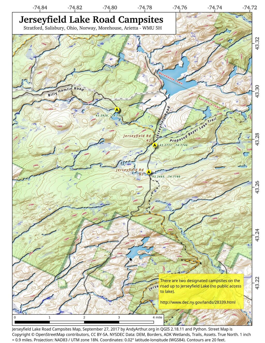
Jerseyfield Lake Road Campsites
There are two designated campsites on the road to Jerseyfield Lake in Salisbury.
There are two designated campsites on the road to Jerseyfield Lake in Salisbury.

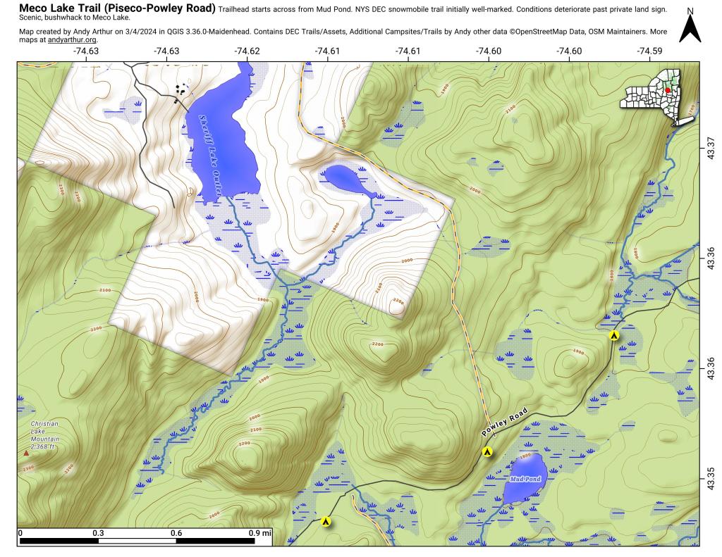
The Meco Lake Snowmobile Trail can be found near Mud Lake on Piseco-Powley Road. It is walkable in the summer months, and is easy to follow the 1.4 miles to the end of state land, however a somewhat harder to follow trail continues beyond that with views of Meco Lake about a 1/2 mile further. The private land is not posted, however there is a sign requesting you remain on the trail.

New York Route 10 is often said to be the last paved state highway in New York when the Glen Harris Highway was paved north of Arietta up through Piseco Lake in the early 1980s.
Due to constitutional constraints relating to the road running through forest preserve, with few exceptions, almost all of modern asphalt road follows the path of the dirt road, although during construction they did bank the curves and widen the road slightly from the horse and buggy road that existed in almost the same form since the 1800s.
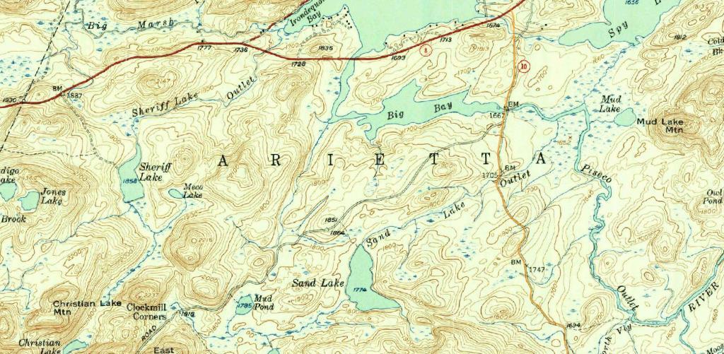
I have the 1904 topographic maps of the area too but due to issues with the original map survey, the overlay is more difficult to do accurately compared to the more modern 1954 survey.
The modern alignment is shown in orange while the topographic map below is from 1954.

G Lake is a pond at the end of the gravel G Lake Road that is a short portage or hike back from the end of the road at the wilderness boundary. Maybe not the most exciting lake, but worth checking out.
