Goldmine Stream Falls
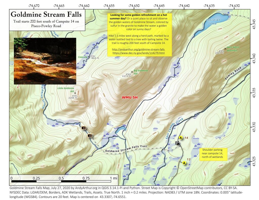
43.33072545558804,-74.6550531605912
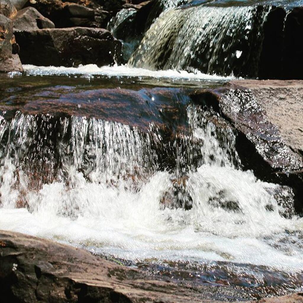
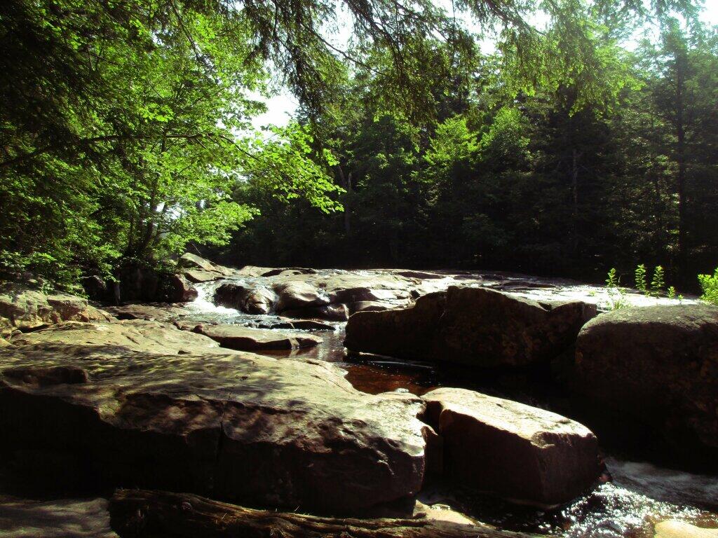
Looking for some golden refreshment on a hot summer day? Or a quiet place to sit and observe the golden waters of Goldmine Stream, colored by sulfur in the granite to make the water a golden color on sunny days?
Hike 1.5 miles west along a herd path, marked by a water bottled tied to a tree with bailing twine. The trail is roughly 200 feet south of Campsite 14.
http://andyarthur.org/goldmine-stream-falls
https://www.dec.ny.gov/lands/114279.html