Powley Road
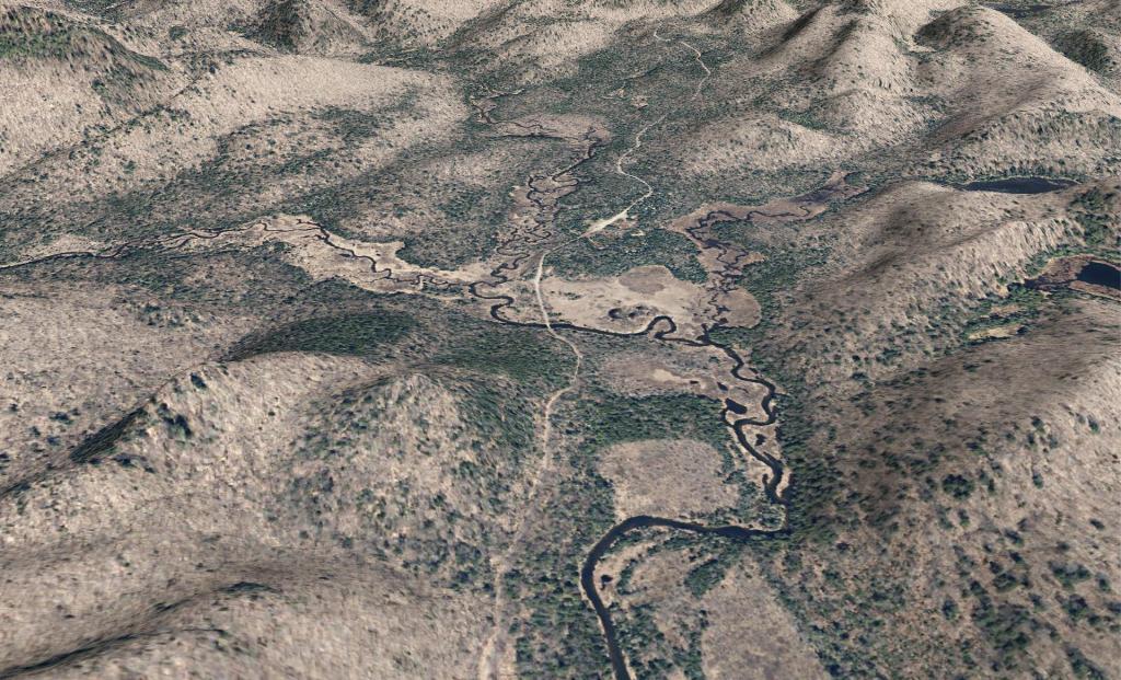
A 3D rendering I made up the other day of Powley Road near Powley Place.

A 3D rendering I made up the other day of Powley Road near Powley Place.

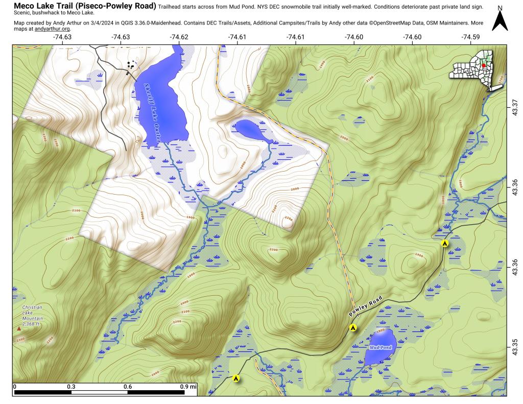
The Meco Lake Snowmobile Trail can be found near Mud Lake on Piseco-Powley Road. It is walkable in the summer months, and is easy to follow the 1.4 miles to the end of state land, however a somewhat harder to follow trail continues beyond that with views of Meco Lake about a 1/2 mile further. The private land is not posted, however there is a sign requesting you remain on the trail.

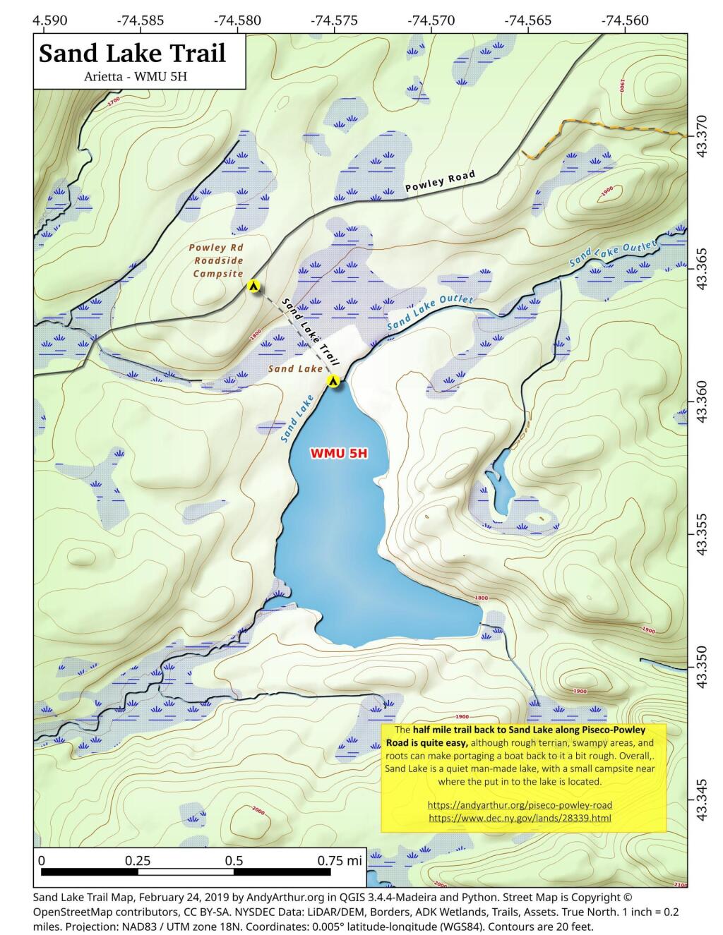
The Sand Lake Trail is about a half mile long but can be a somewhat difficult portage at the end due to the swampy, narrow trail. But it's a nice little wilderness lake, with a campsite, not too remote off of Piseco-Powley Road. There also is a designated roadside campsite at the trailhead.