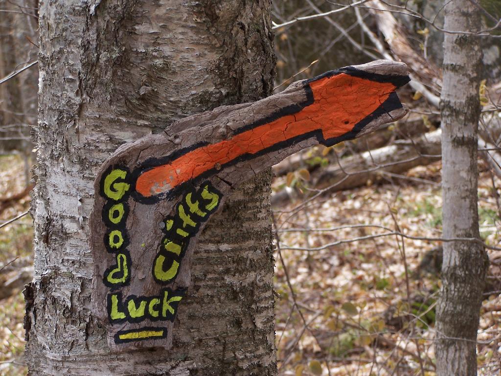
Good Luck Cliffs Sign
They probably should have put a spotlight on this sign to make a little more obvious at night.
Saturday April 24, 2010 — Good Luck Lake — Good Luck Lake 🗺

They probably should have put a spotlight on this sign to make a little more obvious at night.
Saturday April 24, 2010 — Good Luck Lake — Good Luck Lake 🗺
Glassgow Pond at the site of the former Glassgow Mills is a beautiful, remote wilderness pond about 2 miles from NY 10.
Saturday May 11, 2019 — Glasgow Lake — Glasgow Lake Trail 🗺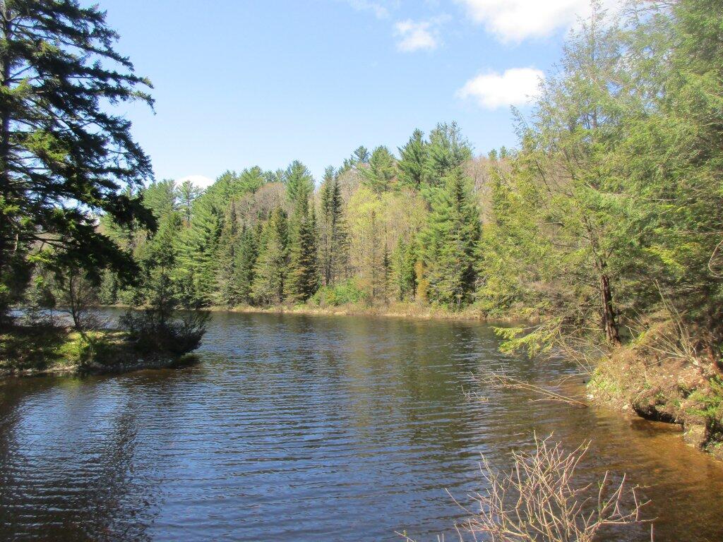

The ridge behind it runs along the Vly Stream, I believe, but are not totally sure about this from the map.
Saturday April 24, 2010 — Good Luck Lake — Good Luck Lake 🗺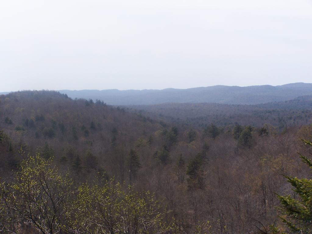

This picture really does not do the cliffs justice. They are sheer 500 feet granite cliffs, much larger then what you'd think from pictures you see in guidebooks. Their sheer size is inspiring, as you see them as you hike up the trail.
Saturday April 24, 2010 — Good Luck Lake — Good Luck Lake 🗺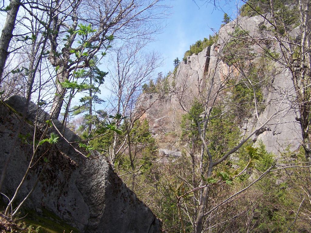

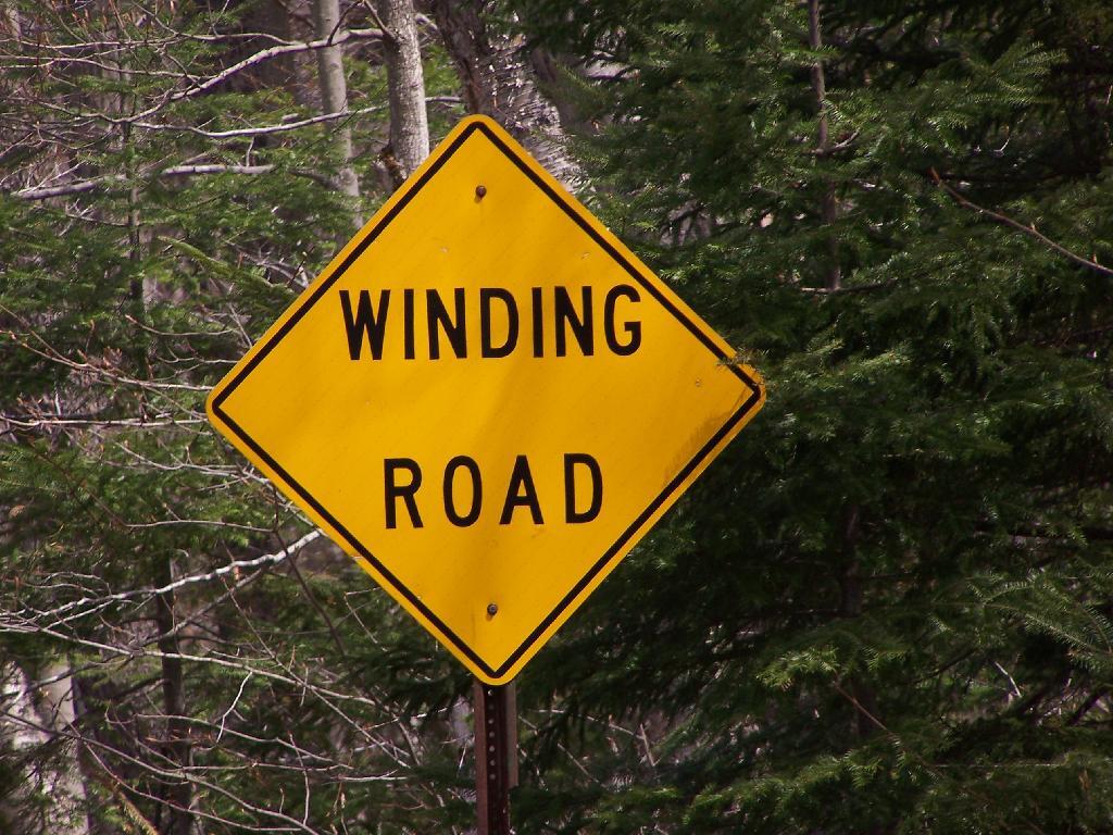
I don't ever think I've seen a road sign like that before. This is along West Shore Road at Piseco Road.
Saturday April 24, 2010 — Piseco Lake