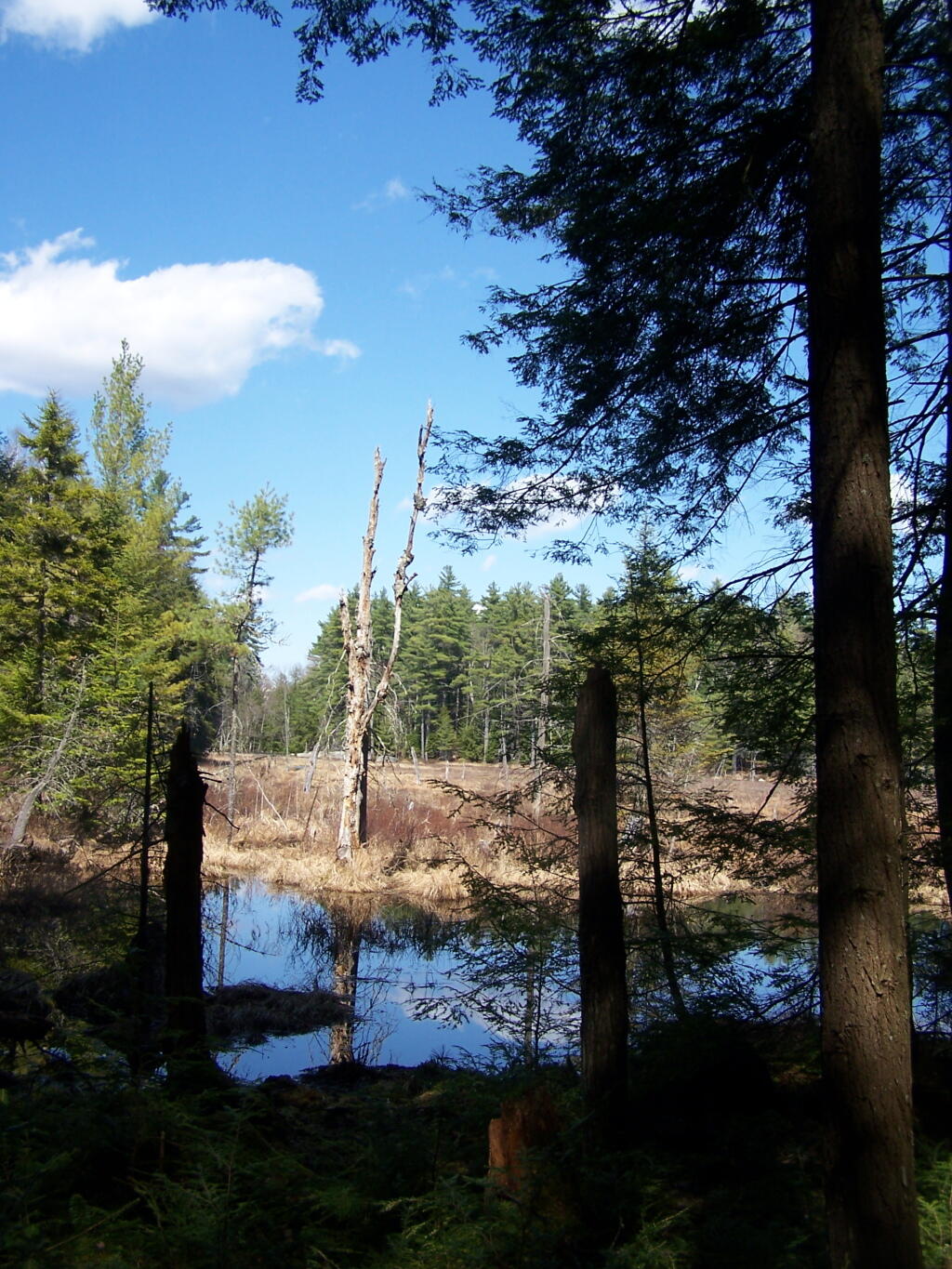
Pharaoh Lake Wilderness 📍

The Pharaoh Lake Wilderness Area, an Adirondack Park unit of New York’s Forest Preserve, straddles the Essex County-Warren County line in the towns of Ticonderoga, Hague, Horicon and Schroon. The county road along the east shore of Schroon Lake forms the western boundary; to the north, private land and NY 74 form the boundary. The state land boundary forms most of the remaining perimeter except for a stretch of NY 8 on the south. The area contains 39 bodies of water covering 1,100 acres (4.4 km2), 62.8 miles (101 km) of foot trails, and 14 lean-tos. Download all maps as a PDF: https://www.scribd.com/document/640711783/Pharaoh-Lake-Wilderness-Map-Pack

Download the PDF Map Pack
🗺️ Maps 🖼️ Photos

Across Alder Pond

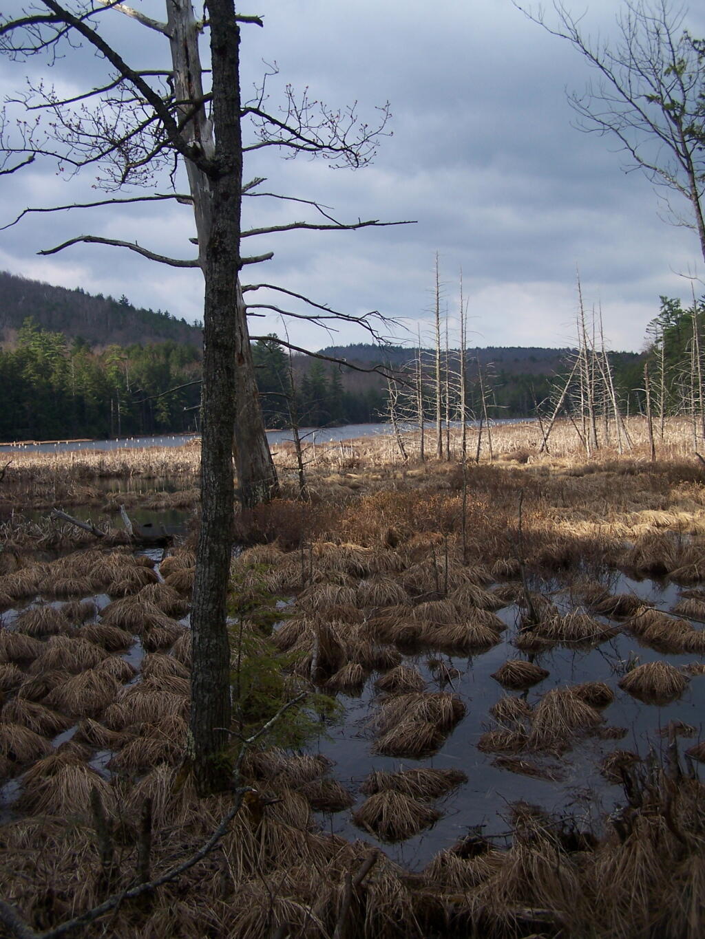
Looking West towards Schroon Lake, hidden by the unnamed ridge by Goose Pond.

Sunday April 11, 2010 — Pharaoh Lake WildernessBerrymill Pond Trail From North 🗺Crane Pond 🗺Crane Pond Road 🗺Glidden Marsh To Pharaoh Lake Trail 🗺Goose Pond 🗺Goose Pond Trail 🗺Gull And Spectacle Pond 🗺Lost Pond Trail 🗺Pharaoh Lake Trail 🗺Treadway Mountain from Putnam Pond Campground 🗺PDF with All Maps 📚
Terrain Map: Indian Fields Before the Alcove Reservior

My Truck Parked at Alder Pond

I stopped at the loop right before where the truck trail crosses Alder Pond. This increased my hike by about 1.5 miles, but I didn't want to ditch my truck in the lake.

Sunday April 11, 2010 — Pharaoh Lake WildernessBerrymill Pond Trail From North 🗺Crane Pond 🗺Crane Pond Road 🗺Glidden Marsh To Pharaoh Lake Trail 🗺Goose Pond 🗺Goose Pond Trail 🗺Gull And Spectacle Pond 🗺Lost Pond Trail 🗺Pharaoh Lake Trail 🗺Treadway Mountain from Putnam Pond Campground 🗺PDF with All Maps 📚
Map: Sand Lake