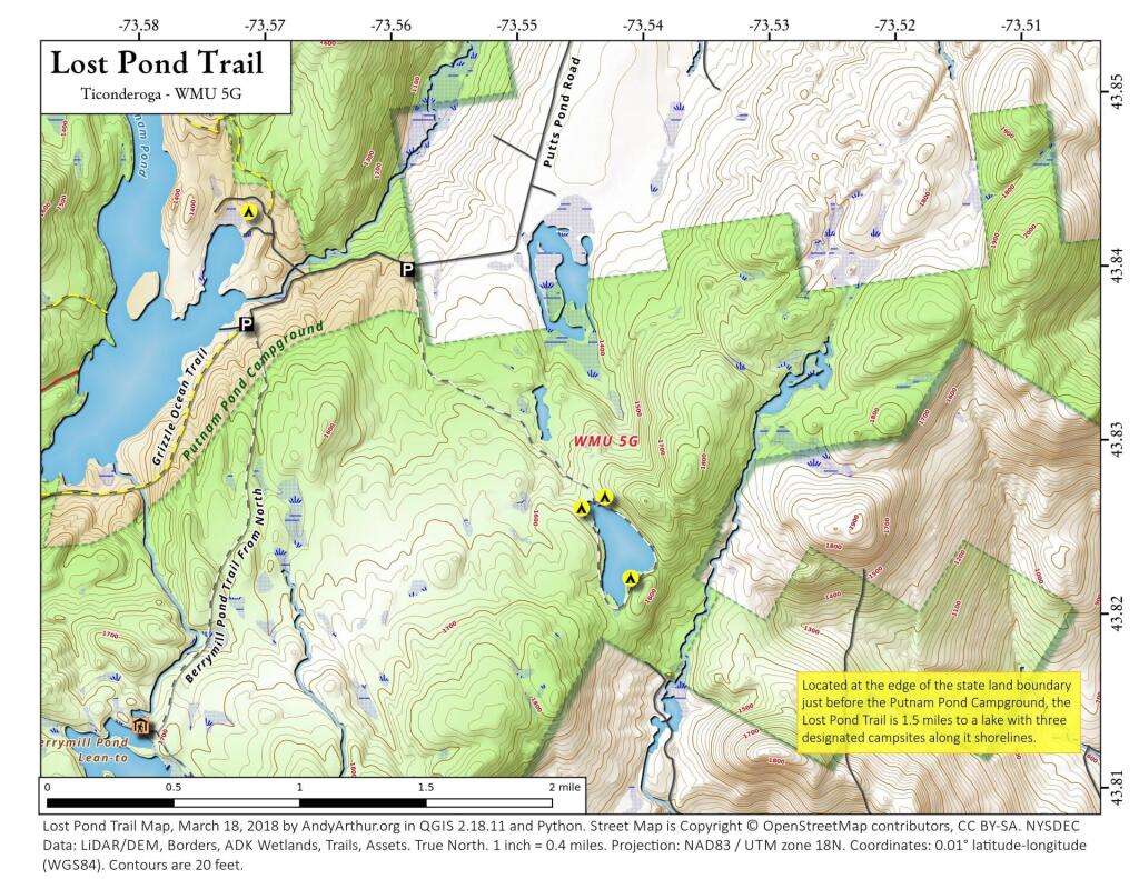
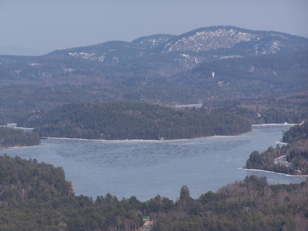
Essex County is a county located in the U.S. state of New York. As of the 2010 census, the population was 39,370. Its county seat is Elizabethtown. Along with Hamilton County, Essex is entirely within the Adirondack Park.
Essex County is in the northeastern part of New York State, just west of Vermont along the eastern boundary of the State. The eastern boundary of Essex County is Lake Champlain, which serves as the New York – Vermont border at an elevation of just under 100 feet (30.5 m). The highest natural point in New York, Mount Marcy at 5,344 feet (1,629 m), is in the Town of Keene. The Ausable River forms a partial northern boundary for the county.