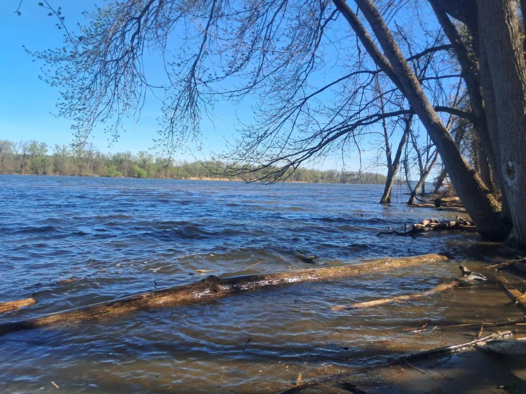
The Lewis A. Swyer Preserve, situated 120 miles up the Hudson River, experiences significant daily tides that raise and lower the water level in Mill Creek by more than four feet. Frequent flooding has formed a rare freshwater tidal swamp, one of only five in New York State. The Nature Conservancy acquired the site from Conrail in 1989, and it was named after a former chapter trustee. Subsequently, the addition of two easements totaling over 500 acres has significantly bolstered the protection of this unique natural area. The preserve features a half-mile boardwalk that guides visitors through three distinct natural environments: a freshwater tidal swamp, a freshwater tidal marsh, and freshwater intertidal mudflats. The changing tides unveil diverse aspects of the preserve with each season, fostering a rich array of species in and around the swamp’s waters.