
Albany County 📍

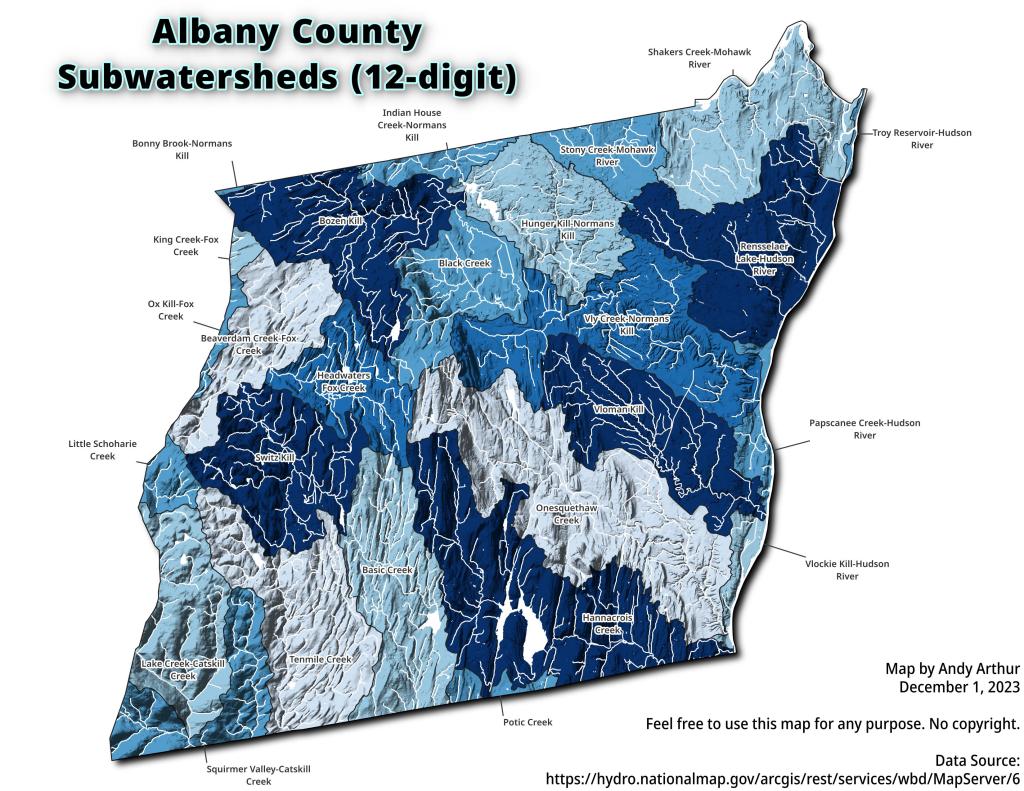
Albany County (/ˈɔːlbəniː/ awl-bə-nee) is a county located in the U.S. state of New York, and is part of the Albany-Schenectady-Troy Metropolitan Statistical Area. The name is from the title of the Duke of York and Albany, who became James II of England (James VII of Scotland). As of the 2010 census, the population was 304,204.[1] As originally established, Albany County had an indefinite amount of land, but has only 530 square miles (1,400 km2) as of March 3, 1888. The county seat is Albany, the state capital.

http://en.wikipedia.org/wiki/Albany_County,_New_York

🗺️ Maps 🖼️ Photos 📽️ Videos
Thematic Map: Traffic Volume on NYS Highways
Thematic Map: 2020 Major Farm Crops Grown in New York

Albany’s South End, Historic Dumping Grounds

This colorized LiDAR Hillshade of elevation of the South End shows the filled in gorges in Albany South End that were used until the late 1960s for dumping trash and debris from the Empire State Plaza demolition.
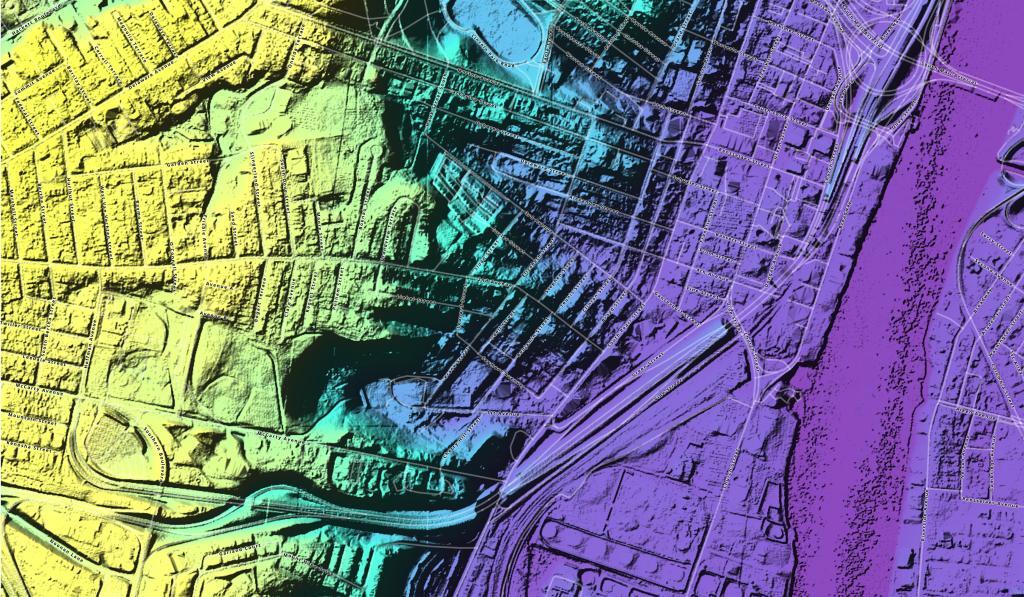
Thematic  Albany\'s South End, Historic Dumping Grounds

Map: High Falls Reservior
Map: Stammer Creek State Forest
Map: Green Mountain National Forest North