Knox 1960
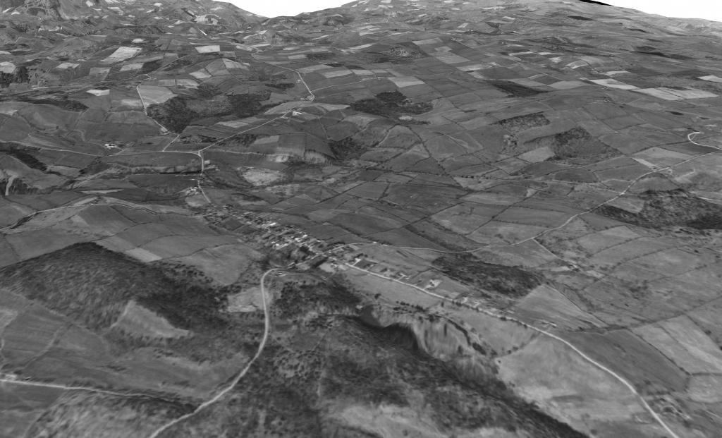
A 3D rendering of what Knox looked like in 1960 from an aerial photo.
A 3D rendering of what Knox looked like in 1960 from an aerial photo.

A 3D animation of Knox - Berne - West Berne - Gallup designed in QGIS 3D using an aerial photo from April 1960. This follows NY 156 to NY 443 out to the county line.

Wolf Creek Falls Preserve, opened in 2007, consists of 135 acres in the Town of Knox, and was a gift of Steve Brown, a retired SUNY professor. This gorgeous parcel, which is open for public hiking, contains streams and waterfalls, a wetland, and numerous old stone walls.
Heading down to Warners Lake, passing wetlands and other rural landscapes along Knox Cave Road

Driving along Pleasant Valley Road in Knox on a Martin Luther King Day. I was hoping for some beautiful skies but it was kind of gray at dusk.
