Land Use in Knox
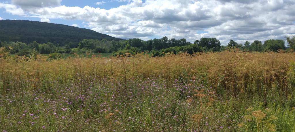
The National Land Cover Dataset shows that much of eastern Knox near the escarpment is a mixture of deciduous trees with some confers, while the western part of county is more cow country (MOO!), where grazing and hay production prevails. Some field cultivation along the Gallupville - Knox border at county line, but much of the soils in Knox aren't great for crop production.