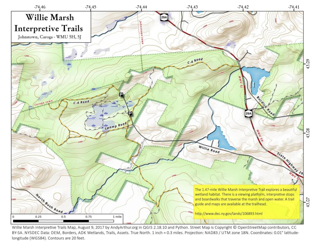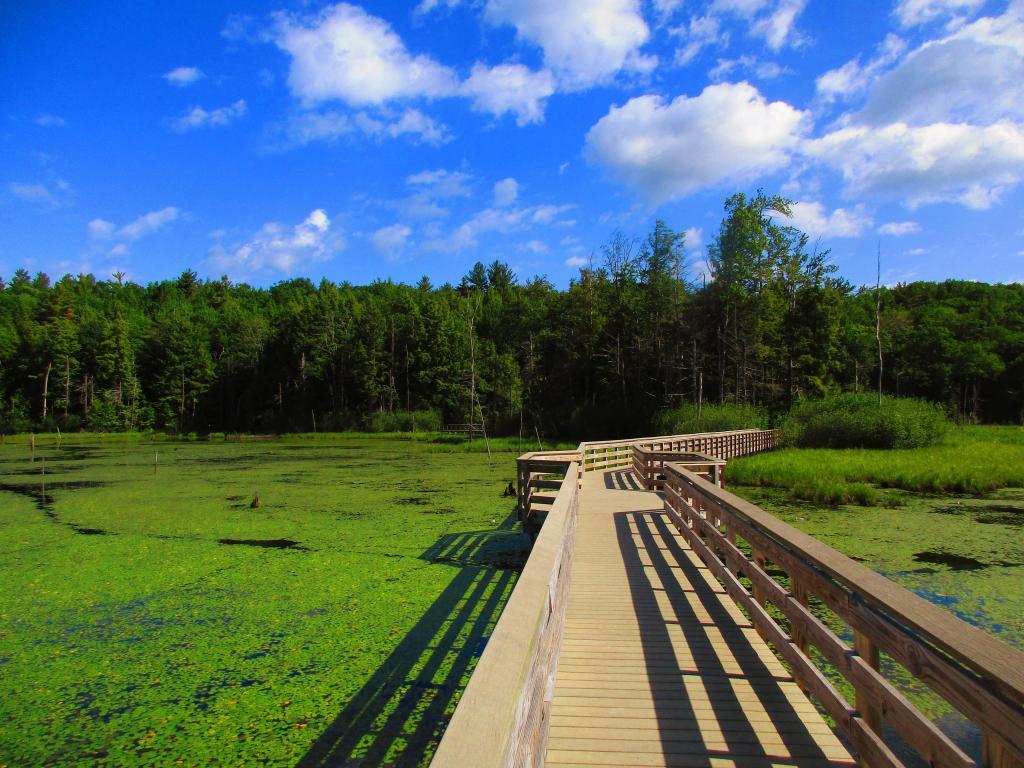
Boardwalk


Smartly put to the east of the homestead to keep the direction of the breeze the otherway.
Sunday June 23, 2024 — Erie Canal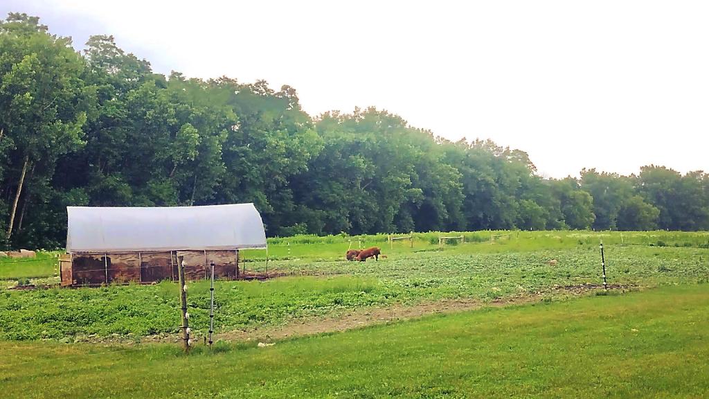

I was curious what this area looked like, especially what is now the closed MOSA Landfill back in 1956 before the dump was constructed in the old gravel pit along the Lasher Creek. Also check out Spraker's Hill Road before the NY 162 Bypass and bridge over Flat Creek was constructed.
![Untitled [Expires September 11 2024]](https://andyarthur.org//data/photo_014860_large.jpg)