Former Remmington Plant Before It Was Shuttered
I rode by it and took a picture of it while I was out yesterday riding along on the Canalway.

I rode by it and took a picture of it while I was out yesterday riding along on the Canalway.
Lock 9 outside in Rotterdam Junction is not only a dam but also a bridge. Not all Bridge Dams though are actual bridges. See this article from the Canal Society, Bridge Dams on the NYS Barge Canal.

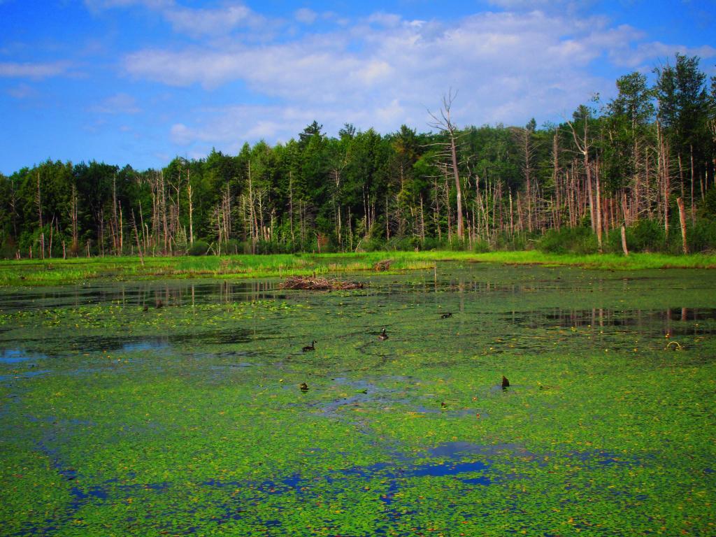
Willie Marsh in the Peck Hill State Forest has an extensive system of boardwalks and trails around a marsh, which is fairly ordinary but depending on the time of year might be a good place to observe wildlife, especially early in the morning or late in the evening.
Friday June 17, 2022 — Peck Hill State Forest — Willie Marsh Interpretive Trails 🗺