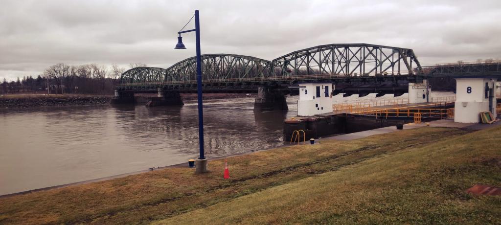
Mohawk Valley 📍

🖼️ Photos 📽️ Videos

Lock 11 Bridge Dam

 ... it looks like a DOT highway bridge minus a roadway. The extra chord on downstream side was added in early 1910s when they decided the bridge dams needed further strengthening. Actually, in the case of the Tribes Hill Bridge Dam (Lock 12), it was designed as a Bridge Dam but then the DOT added a roadway to the Bridge Dam 1927. More about the history of bridge dams: americancanalsociety.org/bridge-dams-mohawk-river-barge-canal/


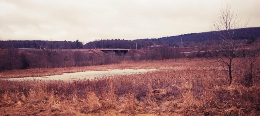
Sunday April 27, 2025 — Erie Canal
Map: Rondaxe Fire Tower Trail
SVGZ Graphic: Median Household Income in the Capital Region (2021)

Thruway Interchange

Wetlands created to promote wildlife conservation and make up for lost wetlands when they re-did Exit 5 of the Adirondack Northway.

Saturday January 27, 2024 — Erie Canal
Thematic Map: Primary Direction of Hillsides in NYS - Aspect
Thematic Map: Agriculture in New York

Fonda-Fultonville Bridge

Barge Canal - Mohawk River Bridge that carries NY 10 across the river. It was built in 1989 and still looks quite attractive and modern.

Sunday July 7, 2024 — Erie Canal
Map: Mountain House Trail and North Mountain