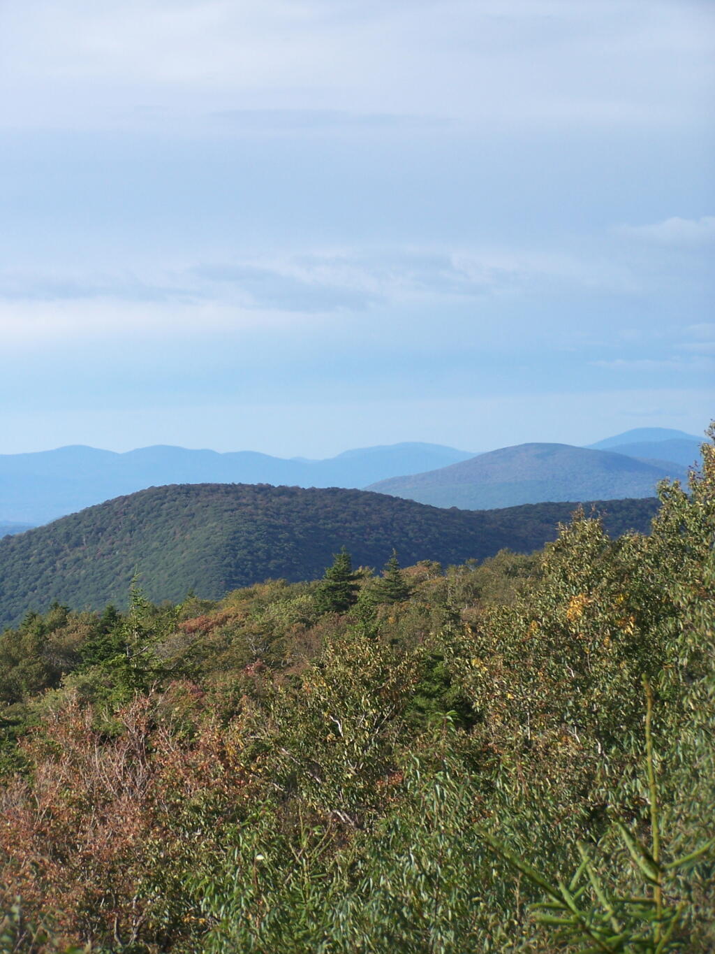
Mount Prospect

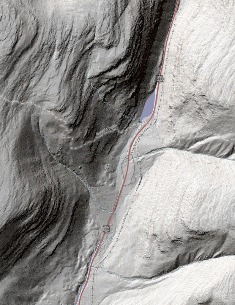
Looking to the east, into the Berkshires you can see the mountains fade away into the fog, as it steadly drifts to the east.
Sunday September 13, 2009 — Alander Mountain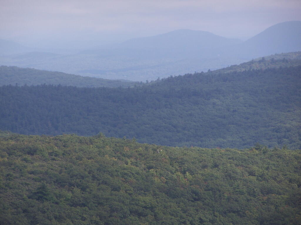
Apparently along the Appalachian Trail, each state line you cross, you can sign in and tell your story.
Sunday September 6, 2009 — Pine Cobble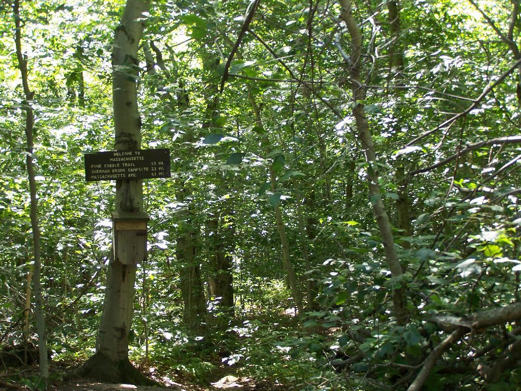

Here if you take a left you will go up to East Mountain, which is where the Appalachian Trail (A.T.) runs and has some pretty views.
Sunday September 6, 2009 — Pine Cobble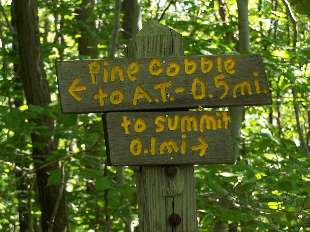

Of Pine Cobble.
Sunday September 6, 2009 — Pine Cobble