Almost To Bridgewater
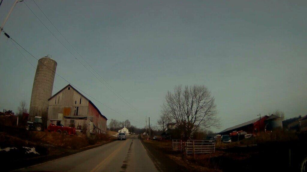
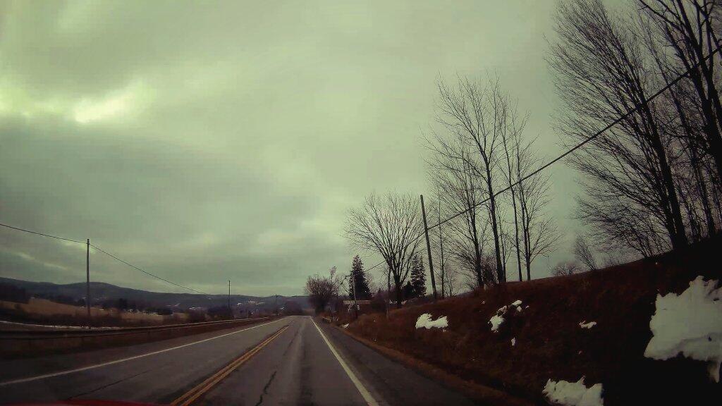
Almost to Bridgewater and NY 8, a short ways from the Unadilla Creek.
Sunday December 29, 2019 — Great Western Turnpike — Weaver Lake 🗺

Almost to Bridgewater and NY 8, a short ways from the Unadilla Creek.
Sunday December 29, 2019 — Great Western Turnpike — Weaver Lake 🗺

The view of the Moscow Hill Horse Camp from where I camped. There were no equestrians around this time of year, as the trails are closed in the winter to prevent damage. If there was more snow, you might see snowmobilers here.
Sunday December 29, 2019 — Charles Baker State Forest — Charles Baker State Forest 🗺 — Charles Baker State Forest Auto Tour Route 🗺 — Charles Baker State Forest Horse and Truck Trails 🗺— PDF with All Maps 📚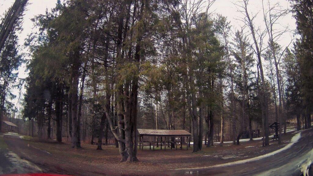

After you get beyond Richfield Springs the land opens up with hills in the distance including the highest point in Oneida County -- Tassell Hill.
Sunday December 29, 2019 — Great Western Turnpike — Weaver Lake 🗺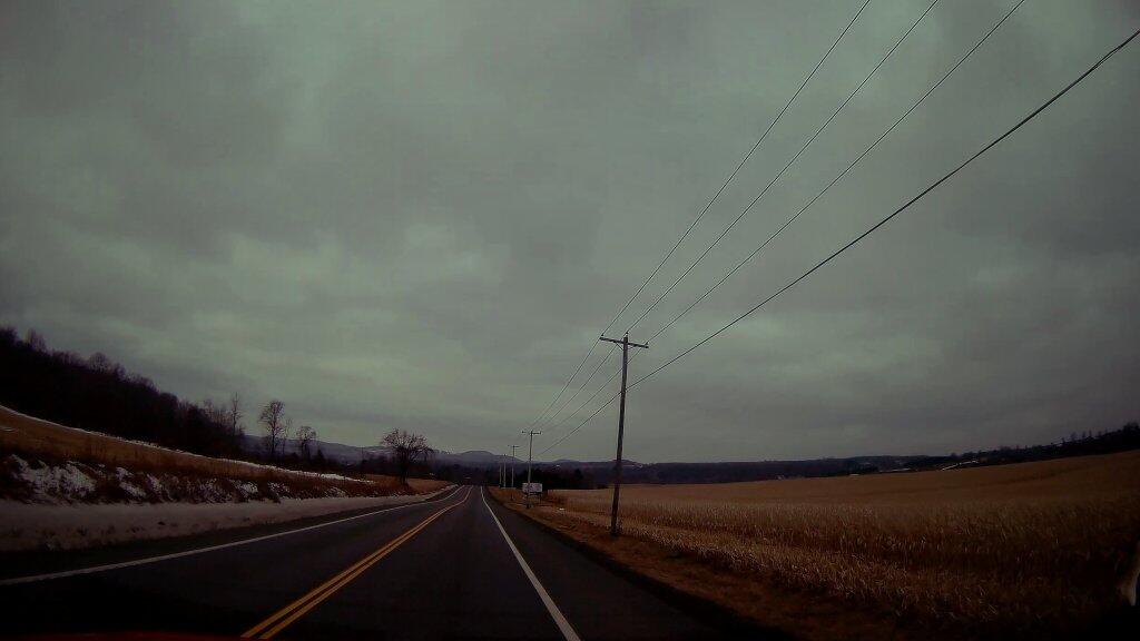

Between Sharon Springs and Cherry Valley there is this mixature of farmland and hills.
Monday December 30, 2019 — Great Western Turnpike — Weaver Lake 🗺

Just another rambshakle, working farm in Brookfield, filling the manure spreader using a gutter track, like so many other barns and farms.
Monday December 30, 2019 — Brookfield, New York