
Lowville 📍
🖼️ Photos

Lowville – NAIP 2022
Noticing the solar farms popping up around that village too.

Lowville
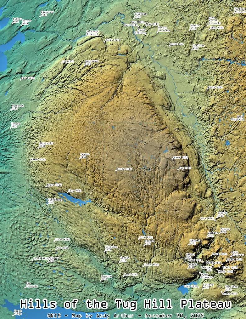
I do find the hillshade to make even most boring map a little more attractive. Not all of New York has the LiDAR data in the 3D Elevation Program, like with Albany County, but a lot of places do, and it's far nicer then the traditional digital elevation models.
Lowville, NY

Lowville Forestry Demostration Area
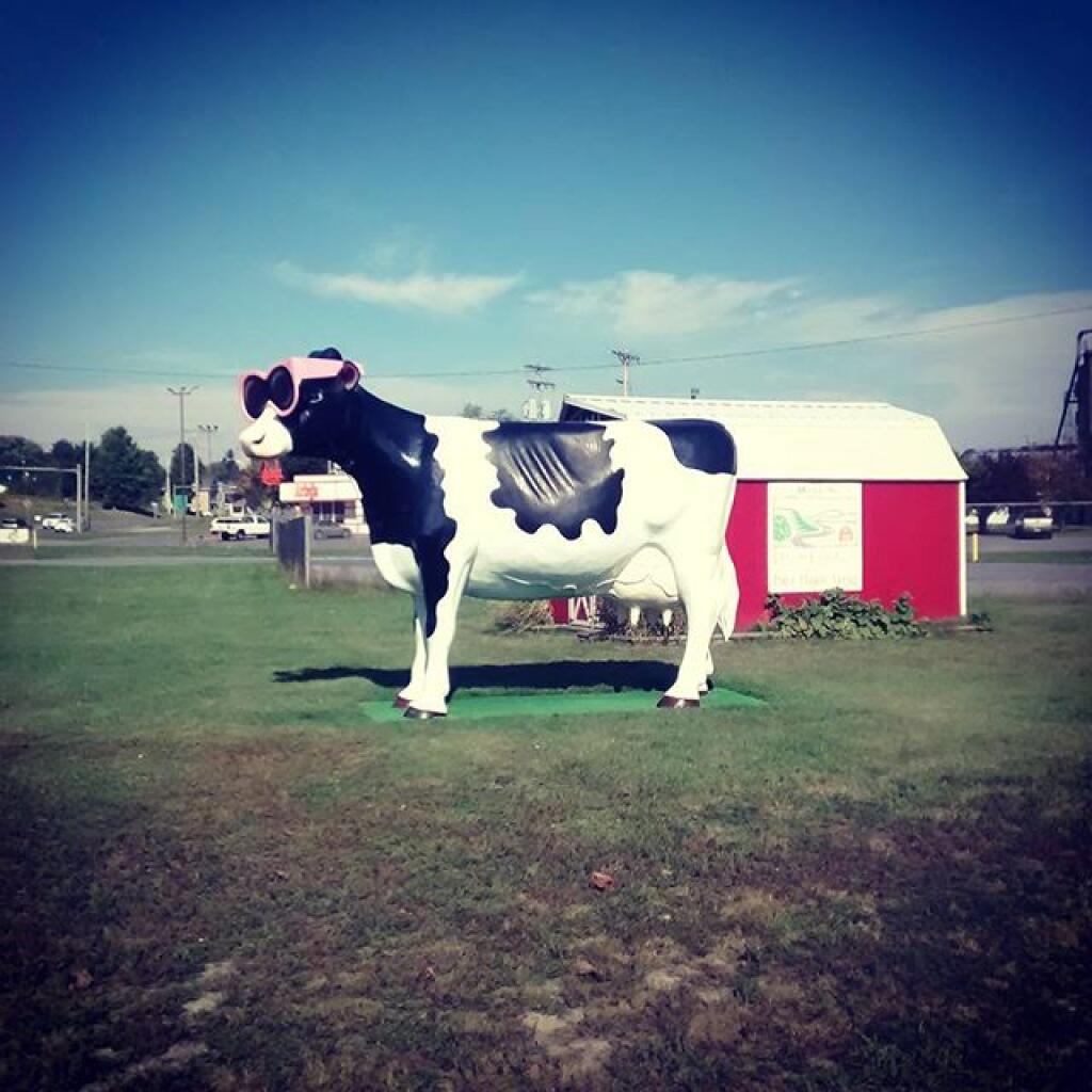
The Lowville Forestry Demonstration Area is located on 98 acres at the former NYS Lowville Tree Nursery. The nursery was in operation from approximately 1923 to 1971 and during that time, a total of 530 million seedlings were produced. A demonstration forest was created here by planting trees together in blocks based on species. Demonstration forests are used to show how different species of trees grow and look together. https://www.dec.ny.gov/lands/8075.html
