Lake Algonquin Hydro Dam
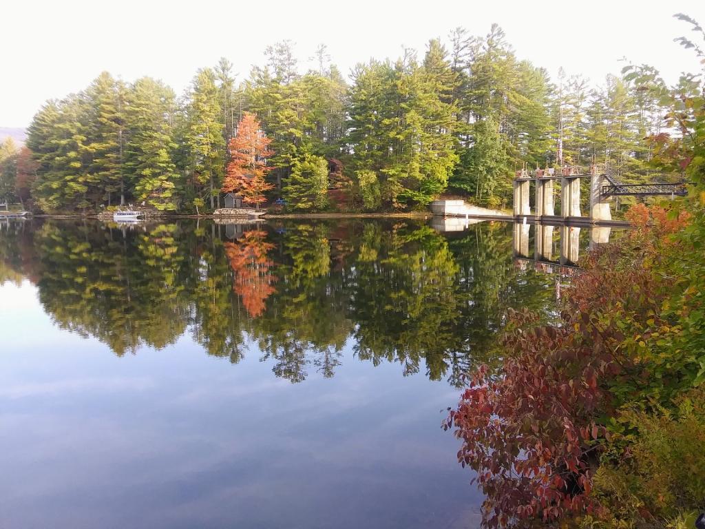
Some color is starting to pop here.
Thursday September 24, 2020 — Lake Algonquin
Some color is starting to pop here.
Thursday September 24, 2020 — Lake Algonquin


![Thematic Map: Trump Digs Coal [Expires June 19 2026]](/data/photo_00169_small.jpg "Thematic Map: Trump Digs Coal [Expires June 19 2026]")
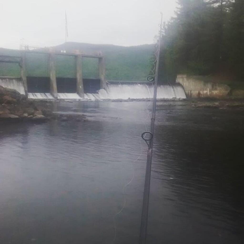
Good afternoon. 63 degrees and cloudy this afternoon at Lake Algonquin. Went for a minor swim in the Sacandaga River before they turned the hydro plant on this morning. Those rocks tend to be slick on the shore. I was fishing there but once the plant ramped up the turbidity of the stream really increased. So now I’m fishing on the lake.
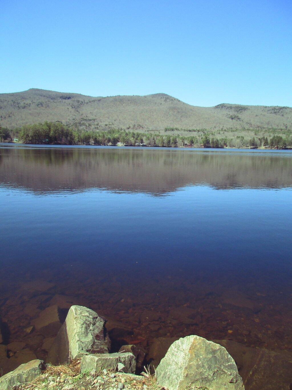
Been camping the past two nights up towards the end of Pumpkin Hollow Road up in Wells. Been somewhat cloudy but not a washout. Sprinkles most of this morning. But some sun yesterday. Spent a lot of time reading book on fishing in an effort to improve my technique. Been a nice quiet weekend.
I was thinking that Donald Trump should deport the wilderness advocates rather than the undocumented immigrants. Most wilderness advocates are more anti-American then the hardworking immigrants.