
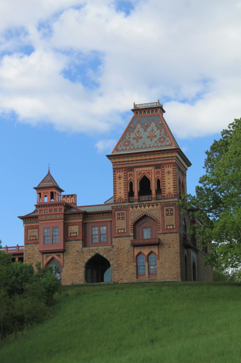
South Green Over Very Green Grass


This interchange was recently switched over to a roundabout but the old interchange. The left photo shows the interchange as it appeared in 1995, the right photo is contemporary.

