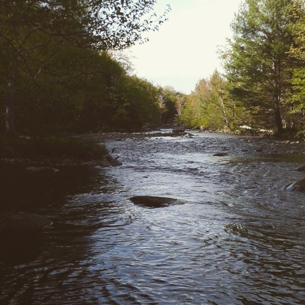
Black River

Old houses in the old village of West Winfield along US Route 20. I often want to get through this village as quickly as possible, following the speed limitation of 30 mph, because by the time I've reached here, Charles Baker State Forest isn't that far way.
Monday January 16, 2023 — Herkimer County — Otsquago State Forest 🗺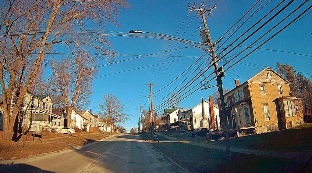

Please be polite and use it and stop shitting on te sites. Trees are for shade, NOT shit. Over there please - stop being discussting.
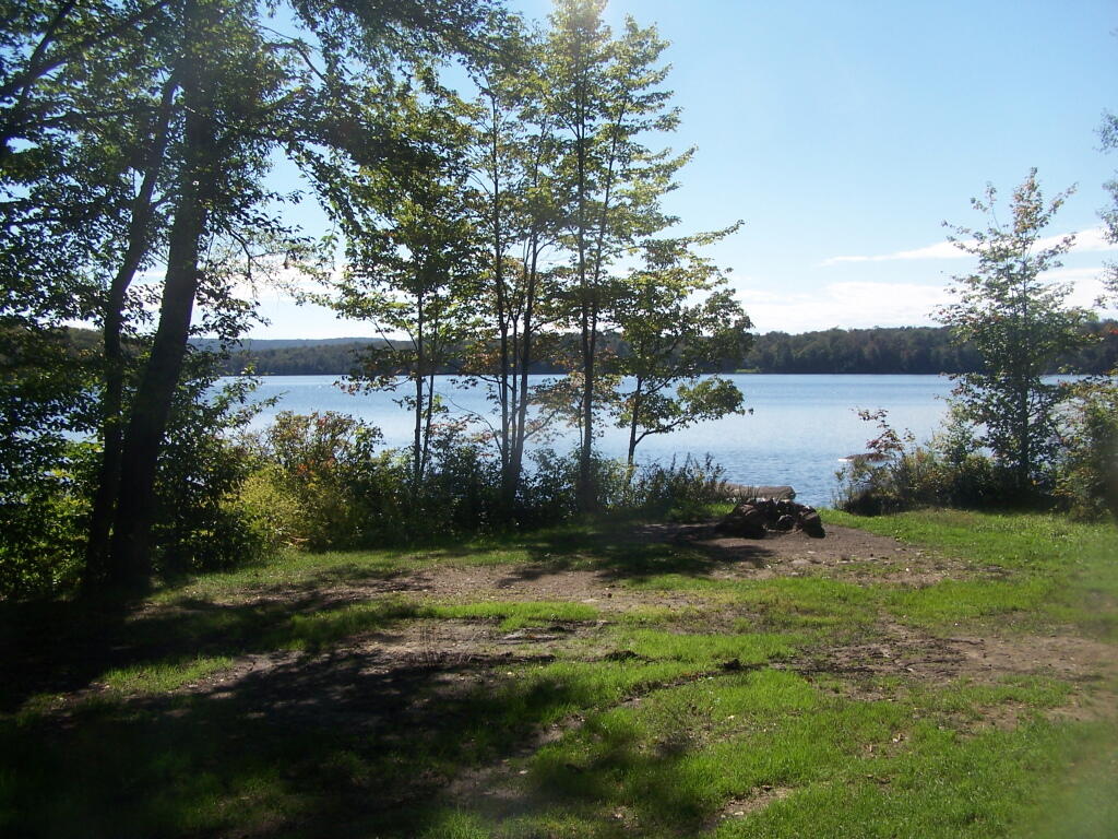
Sunday September 11, 2011 — North Lake Reservoir — North Lake Reservior 🗺

Only one roadside campsite on South Lake.
Sunday September 11, 2011 — North Lake Reservoir — North Lake Reservior 🗺