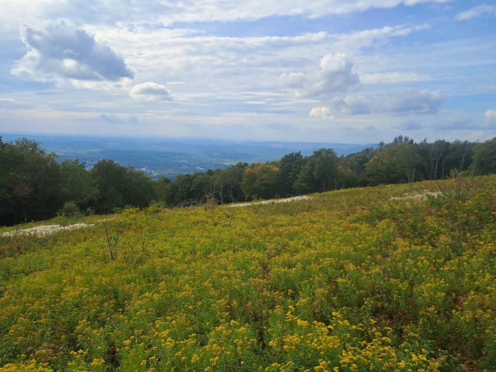
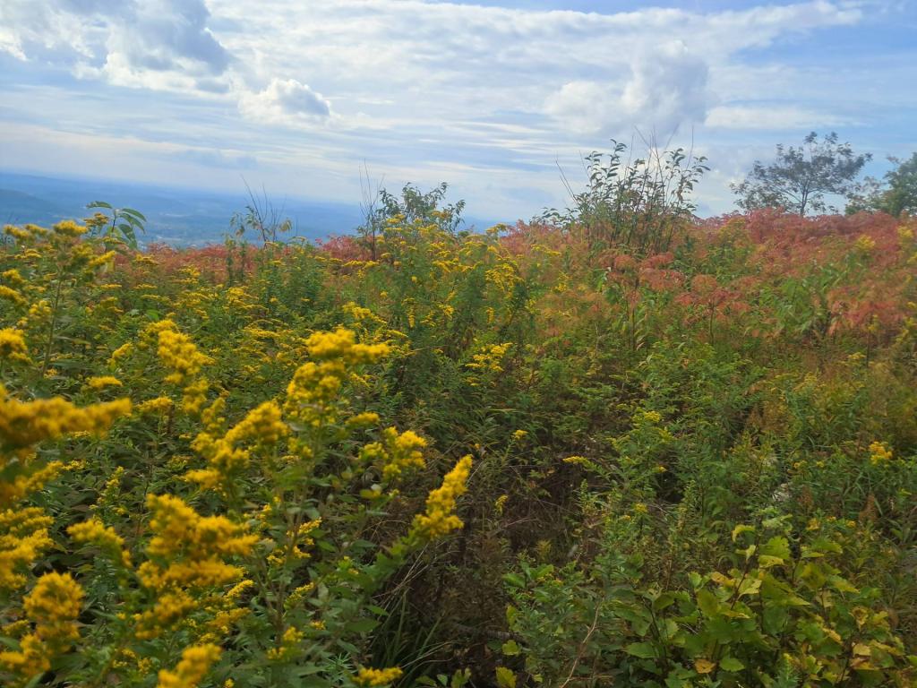
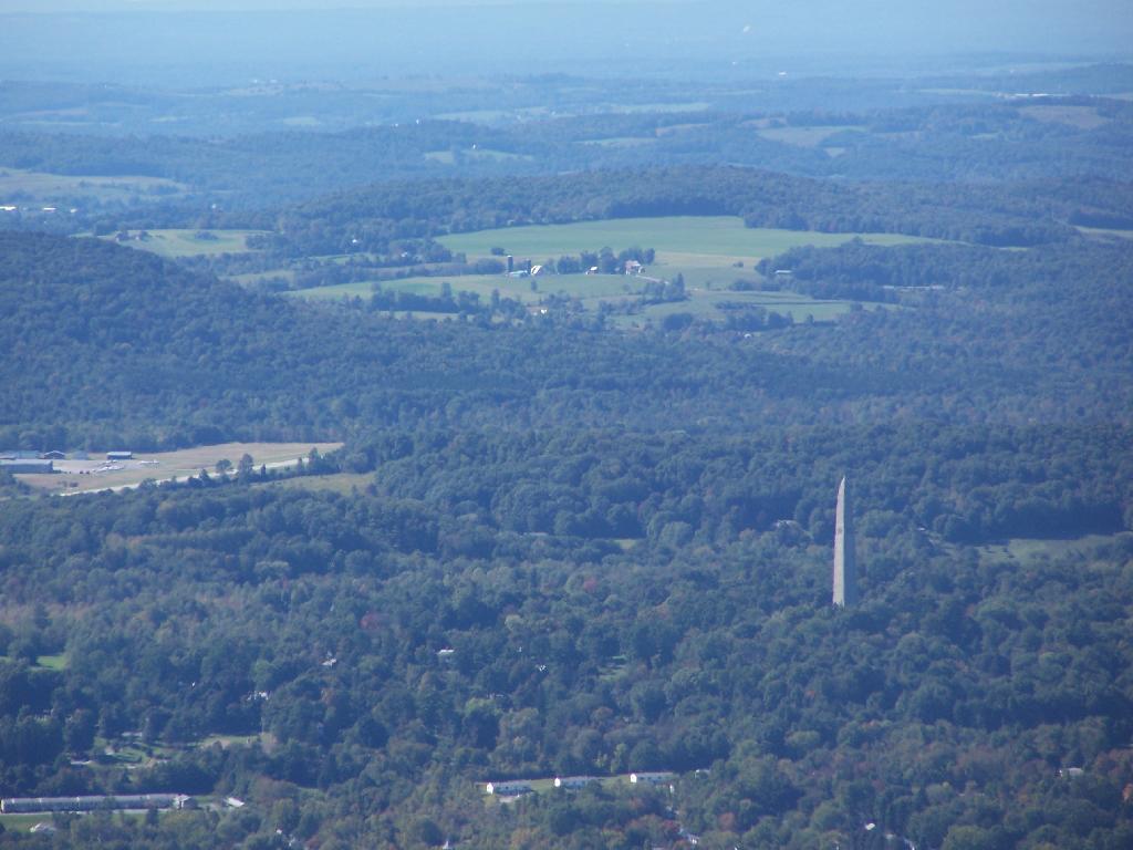
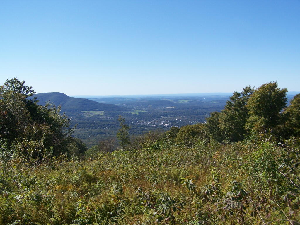
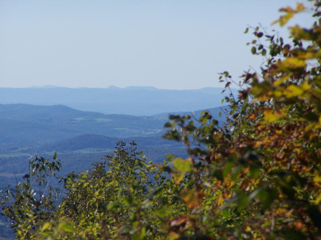
This section of the Appalachian/Long Trail, blazed in white, heads south to the summit of Harmon Hill. The trailhead is found on the other side of Route 9 from the parking area. Here the trail immediately enters the woods and begins its very steep ascent using rock staircases and switchbacks. Extreme caution should be used in wet, snowy, or icy conditions. The grade gradually moderates as the trail bears left and then right, and finally reaches the open summit of Harmon Hill. Prescribed burns, forest fires deliberately set and controlled by trained Forest Service fire crews, maintain the historic opening and the vistas of the surrounding landscape. The view is particularly fine to the west where Bennington, the prominent Mount Anthony, and other hills and mountains of the Taconic Range stand out.