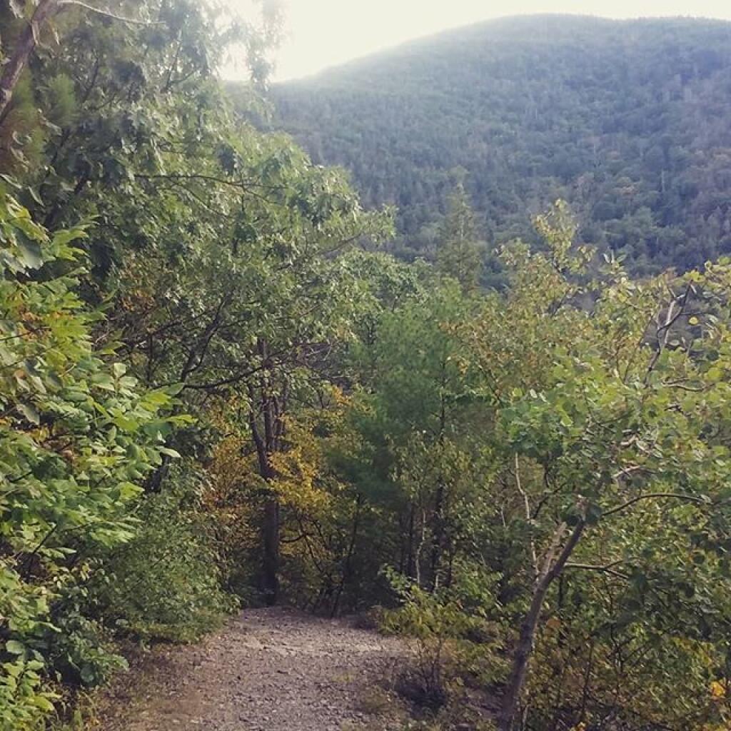
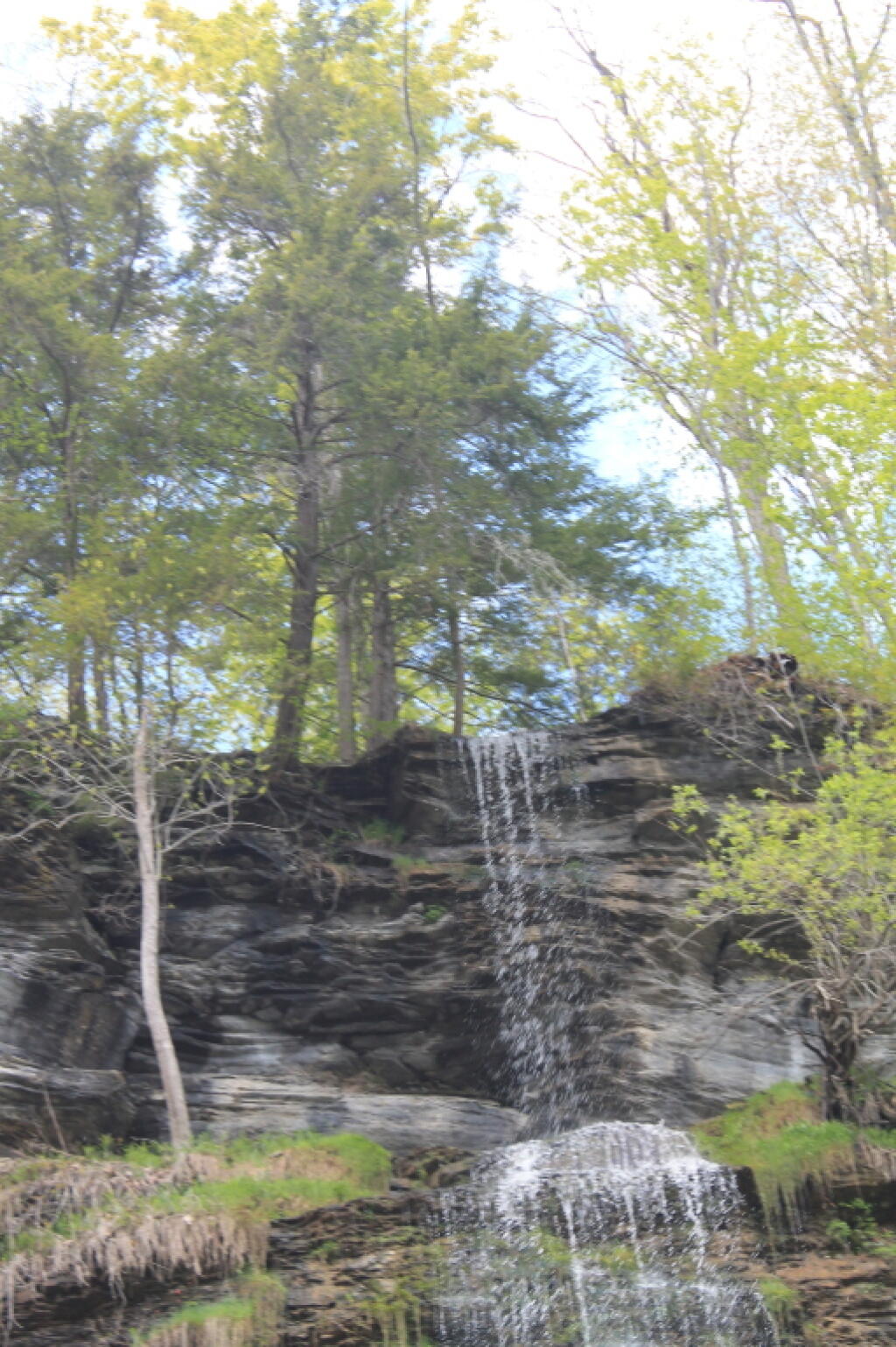
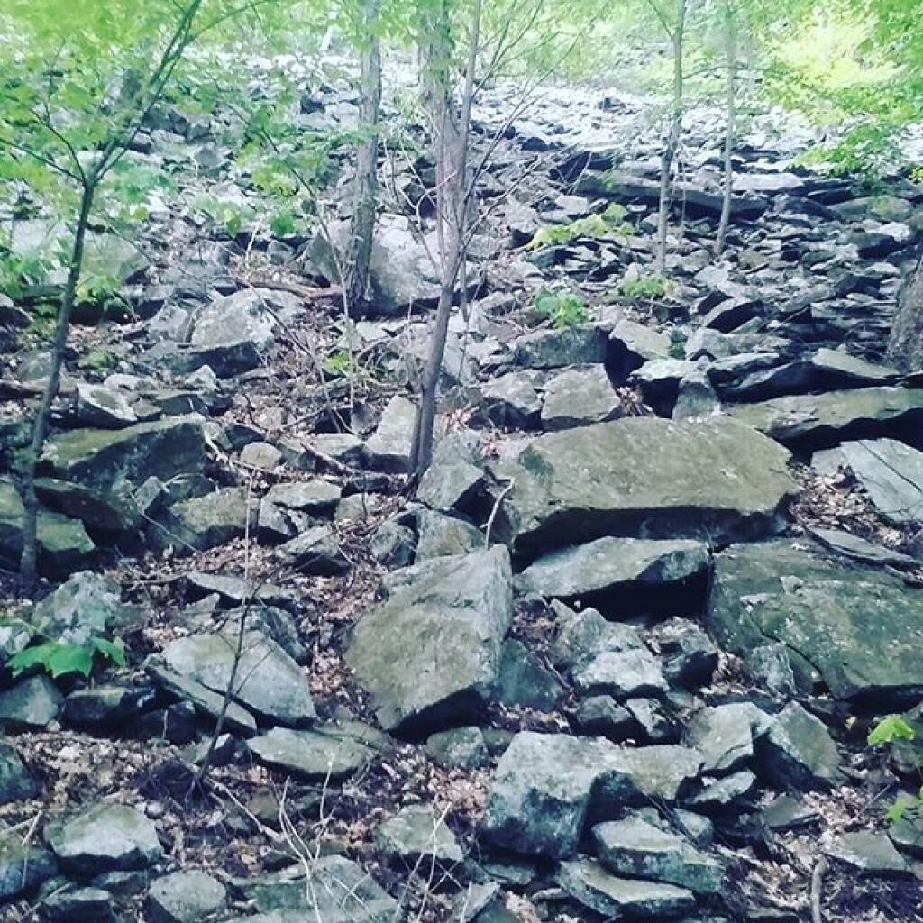
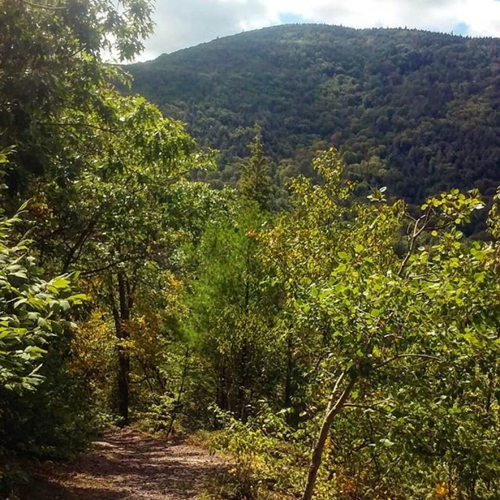
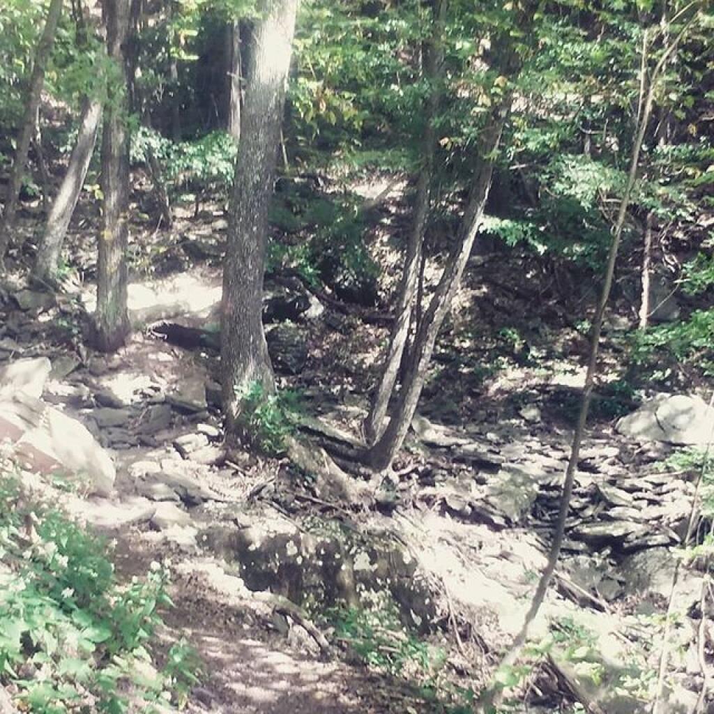
Bluestone Mine | September 13, 2019 Friday September 13, 2019 — Harding Road Trail — Harding Road Trail 🗺
Kaaterskill High Peak | September 8, 2019 Sunday September 8, 2019 — Harding Road Trail — Harding Road Trail 🗺