Dunham Reservior
42.758391264632024,-73.4737565362454
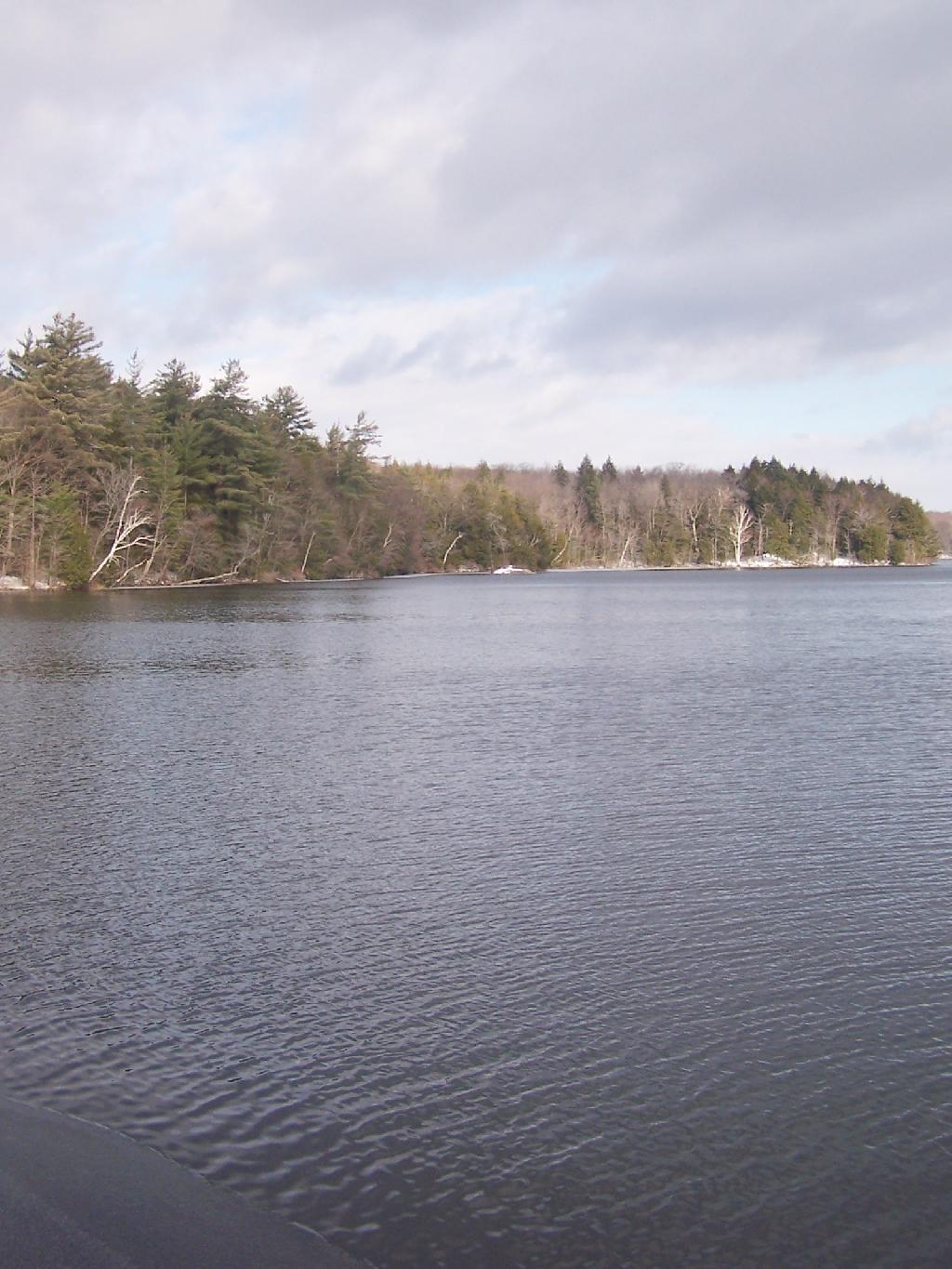
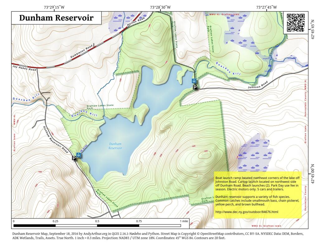
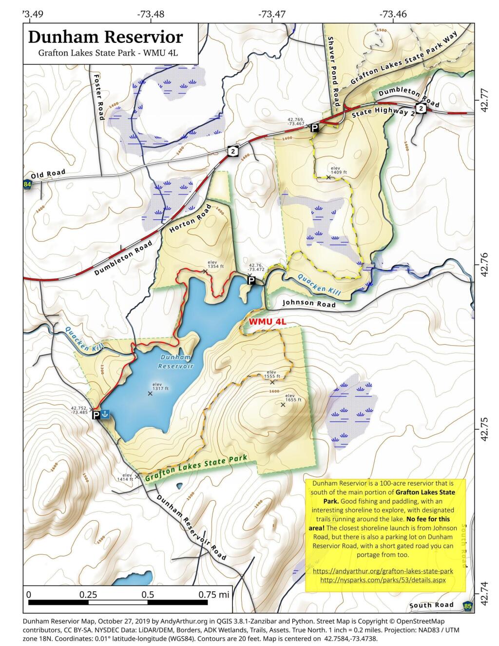
Dunham Reservior is a 100-acre reservior that is south of the main portion of Grafton Lakes State Park. Good fishing and paddling, with an interesting shoreline to explore, with designated trails running around the lake. No fee for this area! The closest shoreline launch is from Johnson Road, but there is also a parking lot on Dunham Reservior Road, with a short gated road you can portage from too.
https://andyarthur.org/grafton-lakes-state-park
http://nysparks.com/parks/53/details.aspx