Keuka, Seneca, Cayuga Lakes
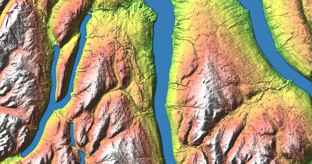
This hillshade terrian map shows the southern-central Finger Lakes and the terrian around the lakes.

This hillshade terrian map shows the southern-central Finger Lakes and the terrian around the lakes.

North of Geneseo in the fertile farm country of the Genesee Valley, home to some of the state's largest milk 🥛🐮 producers.

Yesterday, I downloaded the National Land Cover Data for 2016. I had some older data but I hadn't updated it in years, but soon realized I could make some very interesting maps and graphics with this data. The Finger Lakes are kind of interesting to look at in particular as you can see the Northern Finger Lakes have a lot of cultivated lands -- mostly corn and soybeans -- for feeding dairy cattle, while the more upland and rocky lands in the Southern Finger Lakes are either wooded or pasture.
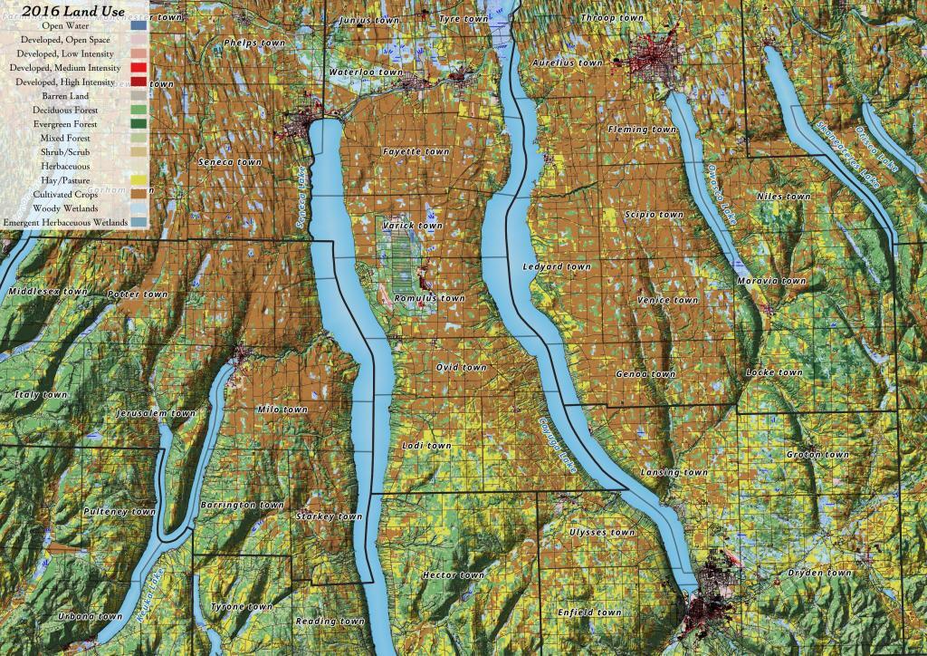

Kueka Lake is quite agricultural especially to the north of the lake, but to south of the lake, it's more forested, with hay and pasture dominating the landscape.
![Untitled [Expires February 18 2025]](https://andyarthur.org//data/photo_015744_large.jpg)

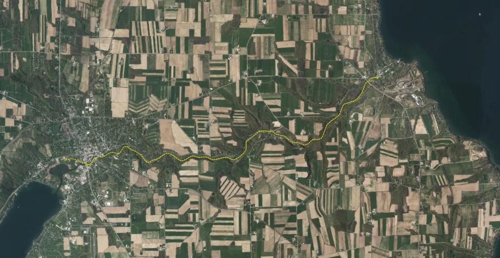
Keuka Lake is the odd little duckling of the Finger Lakes; but, it is not the “ugly” duckling by any stretch! Instead, Keuka Lake is beautifully unique and, though it shares much with its fellow “fingers,” it is set apart by its peculiar shape. Early settlers called this the “crooked lake” because, unlike the long and sinuous, finger-shaped lakes, Keuka Lake is forked and shaped like a Y. The odd shape is one of its many unique features, but more pertinent to outdoor enthusiasts is that Keuka is the only Finger Lake that drains into another. This gave rise to the Outlet Trail.