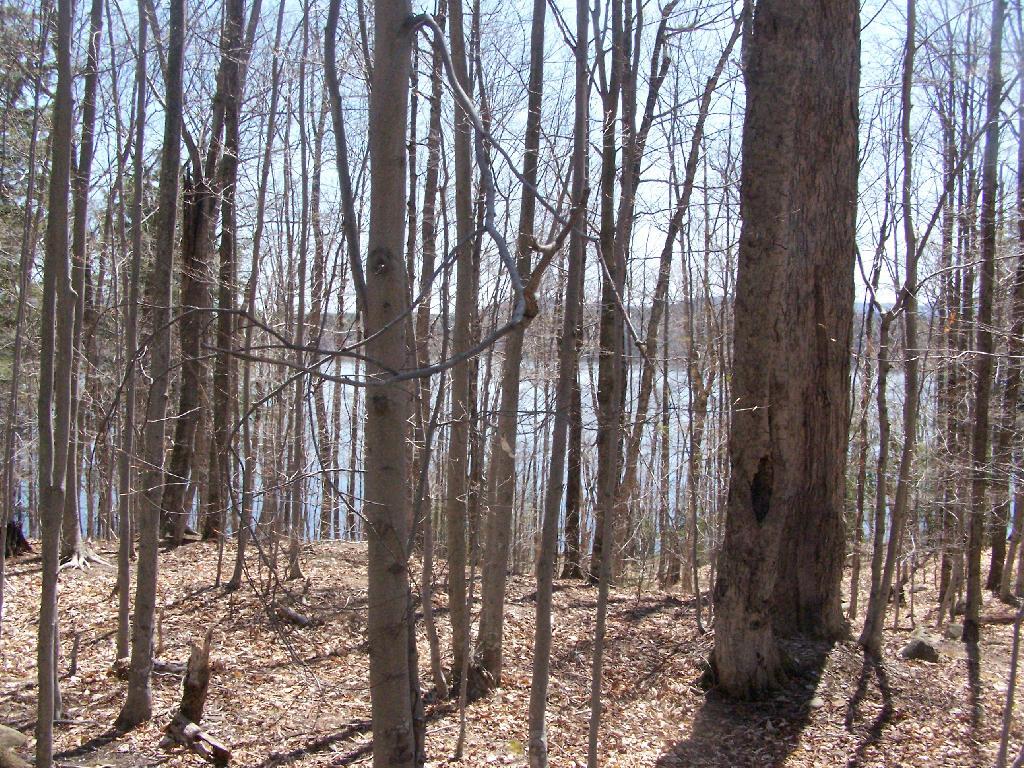
Piseco Lake Through the Trees
This is from near where the parking area is for the trailhead to Panther Mountain / Echo Cliffs.
Saturday April 24, 2010 — Piseco Lake

This is from near where the parking area is for the trailhead to Panther Mountain / Echo Cliffs.
Saturday April 24, 2010 — Piseco Lake

With the water down for the winter, it’s easy to imagine the channel as the Mohawks of the Haudenosaunee Confederacy once saw it. Though the current dam on Stewarts Landing determines the summer level of the water, the top of the upstream rapids appearing when the level goes down is the determining factor for the winter level. This waterway was suitable for canoeing long before any dams were constructed.
What we call Stewarts Landing is the 2 mile stretch of flat water carrying the outflow of Canada and Lily Lakes to a concrete dam. Once called Fish Creek, the stream through and below Stewarts Landing is currently known as Sprite Creek. Below the dam, the unnavigable rocky stream flows into East Canada Creek, which joins the Mohawk and then Hudson Rivers.
Your government at work, sometimes. I shouldn't complain, at least the road is open again.
Saturday November 28, 2020 — Piseco-Powley Road — Big Alderbed Lake Trail 🗺 — Clockmill Corners to NY 10 🗺 — Edick Road Swimming Hole 🗺 — Goldmine Stream Falls 🗺 — House Pond Trail 🗺 — Lower Powley Bridge to Sugarbush Mountain 🗺 — Meco Lake Trail (Piseco-Powley Road) 🗺 — Overview Map Piseco-Powley Road 🗺 — Piseco Road Swimming Holes 🗺 — Powley Place - East Canada Creek - Kayak Canoe 🗺 — Sand Lake 🗺 — Sand Lake Trail 🗺 — Sugarbush Mountain to Clockmill Corners 🗺— PDF with All Maps 📚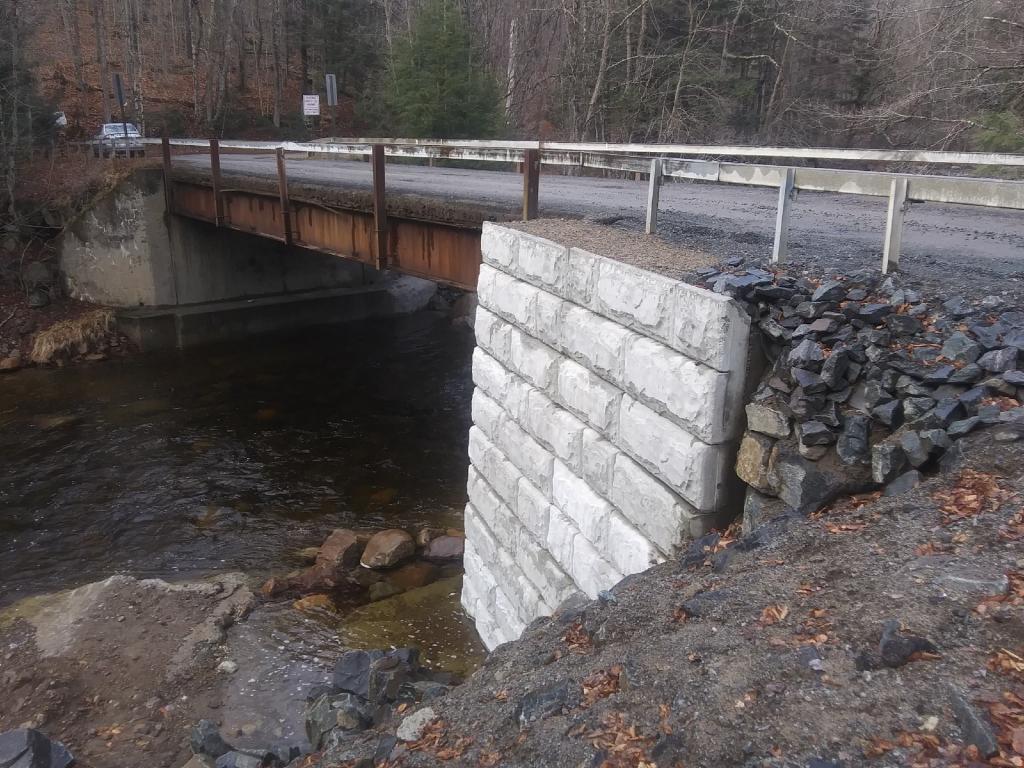
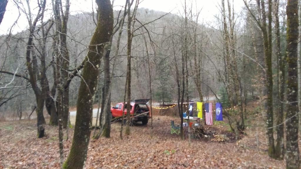

Big Red’s DIC says this morning was only 21 degrees before sunrise. 🌡️I’d believe it, kind icy outside with all of the fog 🌫 and moisture from yesterday’s rain and sleet turning into ice on the trees. It’s pretty and the road is free of ice so no complaints. I did start the truck up briefly to top off the batteries 🔋 – mostly the starting battery because it is cold and the voltage was down a little bit because of that – and the solar panel isn’t going to produce much power covered with ice. ☀️
Ran out of propane this morning ♨ but fortunately not before I cooked breakfast and warmed myself by the heater. But it still left me with cold hands 👐🏻 when I took down camp and gave me an incentive to get moving sooner. 🌅 Sun didn’t get above the mountains until after 8 AM which is about the time the tank ran out. Totally my fault, it had been nine nights since I last filled the tank and in the winter I usually try to fill it every six nights camping so I don’t end up with a cold start to the morning. ☕ But regardless it was fine, I enjoyed my coffee and just got moving.
Hiked up to House Pond this morning after I took down camp. 🦆 Woodpeckers and a duck breaking through the ice and the occasional distant gun shot 🔫 but no deer 🦌 to be seen where I was. I am surprised 🤨 I thought more would be moving this morning. Once I get back to camp, I’m going to drive down to Fort Hunter and explore the Schoharie Crossing and the bike path 🚲 around Fort Hunter until around 3:30 and then head home before dark. That’s pretty early this time of year.