Catskill Forest Preserve
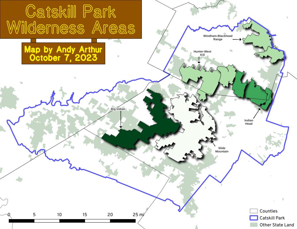
Interactive map showing the lands that are part of the Catskill Forest Preserve. It is a fraction of the size of the Adirondack Forest Preserve, with most of the parcels being much smaller.
Interactive map showing the lands that are part of the Catskill Forest Preserve. It is a fraction of the size of the Adirondack Forest Preserve, with most of the parcels being much smaller.
Long Path Trail is a 424 mile trail running from the George Washington Bridge in New York City, north to the North Country - Placid Trail in Northville in the Southern Adirondacks.

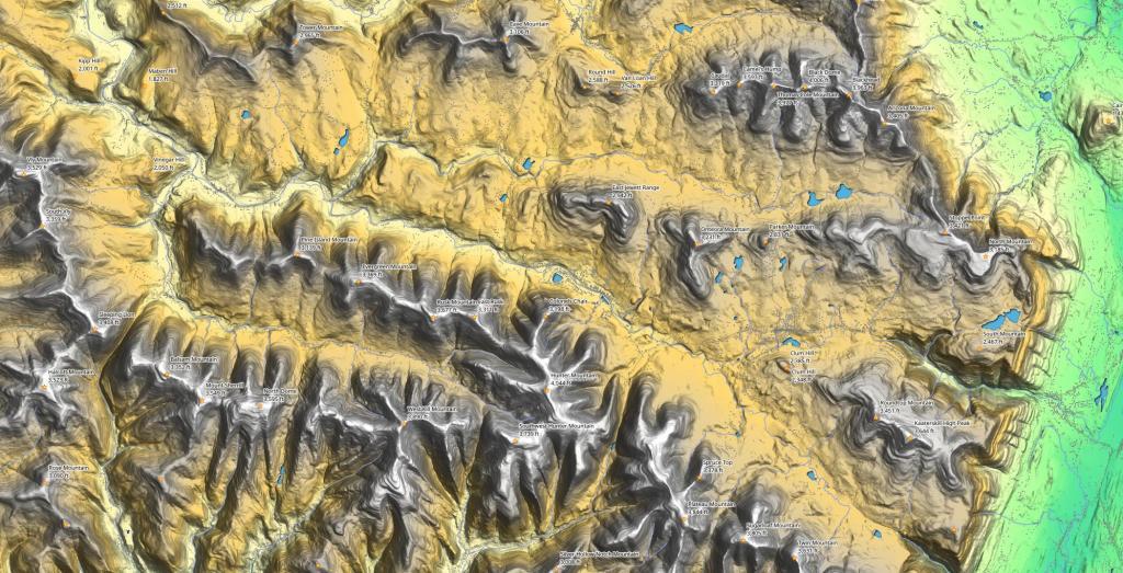
This terrain map shows the mountain peaks found around the hamlets of Hunter and Tannersville in the central Catskill Mountains.