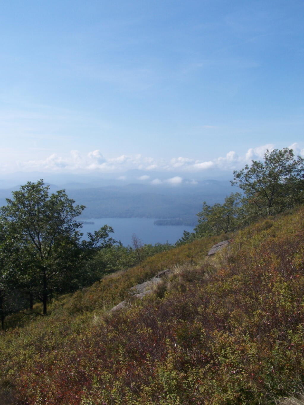
Looking Down at Lake George
That looks a long ways on down!
Wednesday September 21, 2011 — Buck Mountain — Buck Mountain 🗺

That looks a long ways on down!
Wednesday September 21, 2011 — Buck Mountain — Buck Mountain 🗺

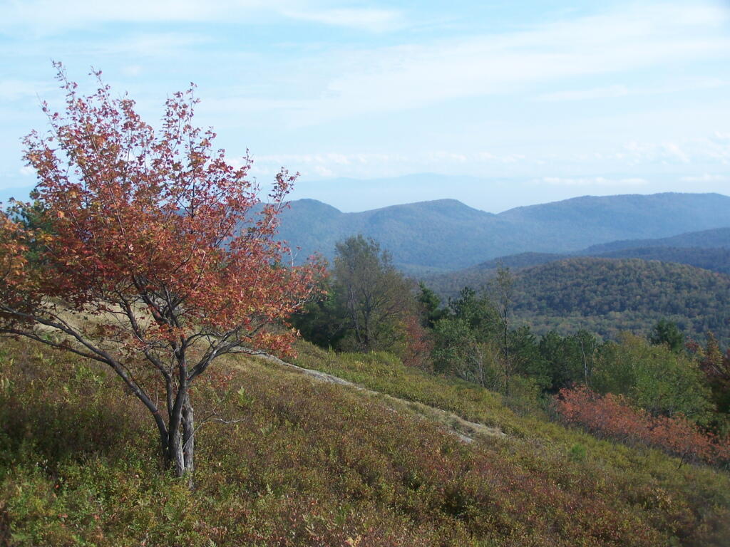

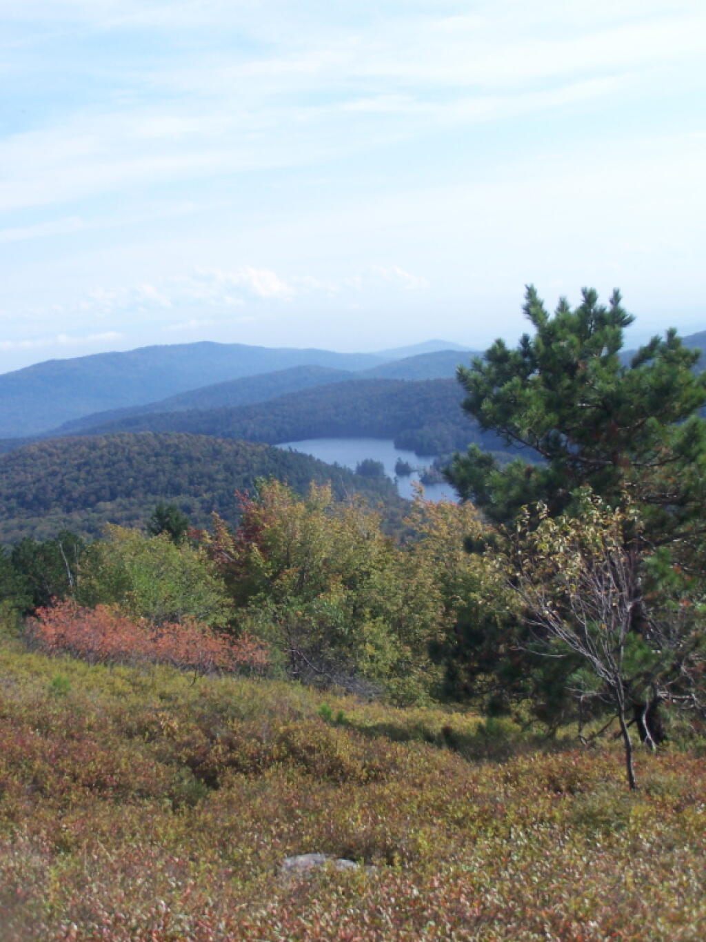

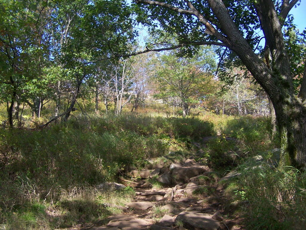
You can see from this relatively open area why Buck Mountain get's it name. As mountains go, due to it's shallow soils, there is quite a bit of grass, blueberries, and underbrush, for deer to graze on.
Wednesday September 21, 2011 — Buck Mountain — Buck Mountain 🗺