Buck Mountain 📍

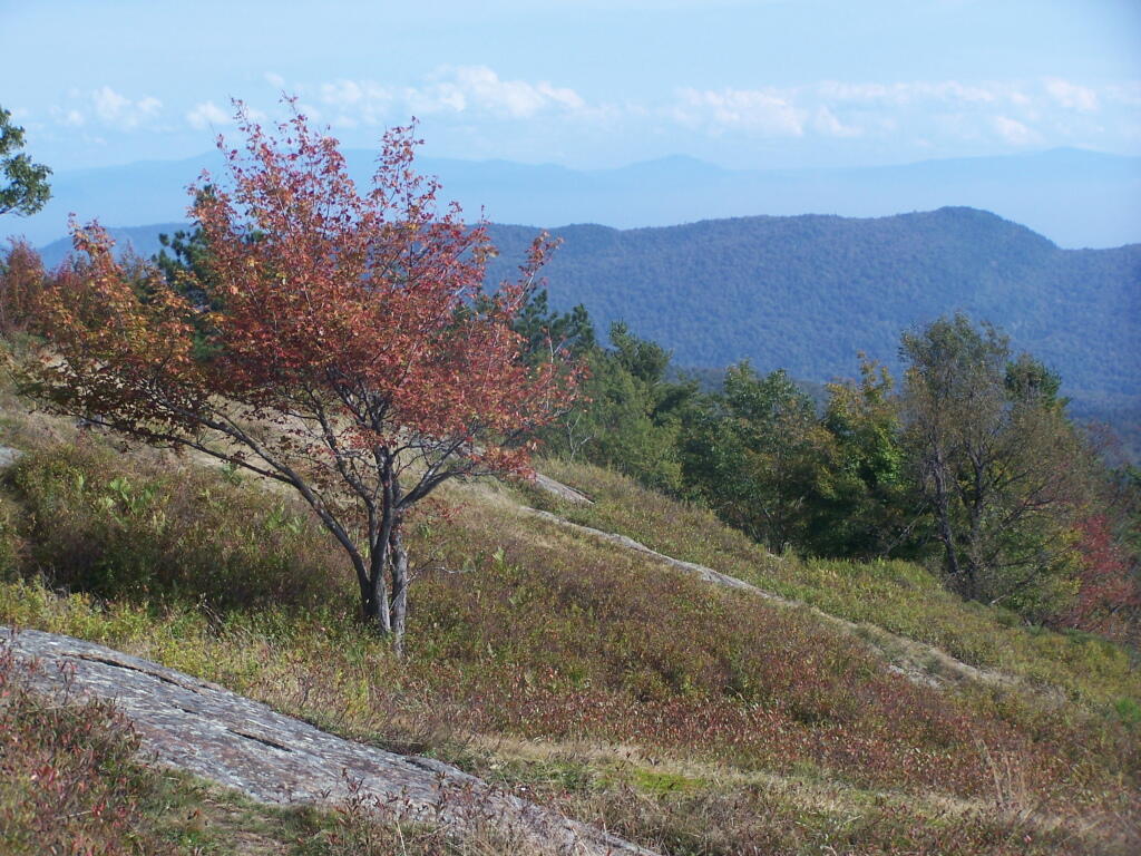
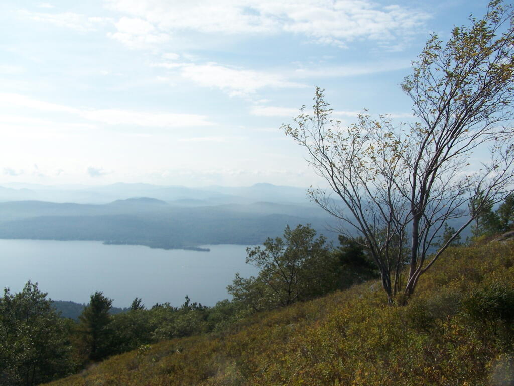
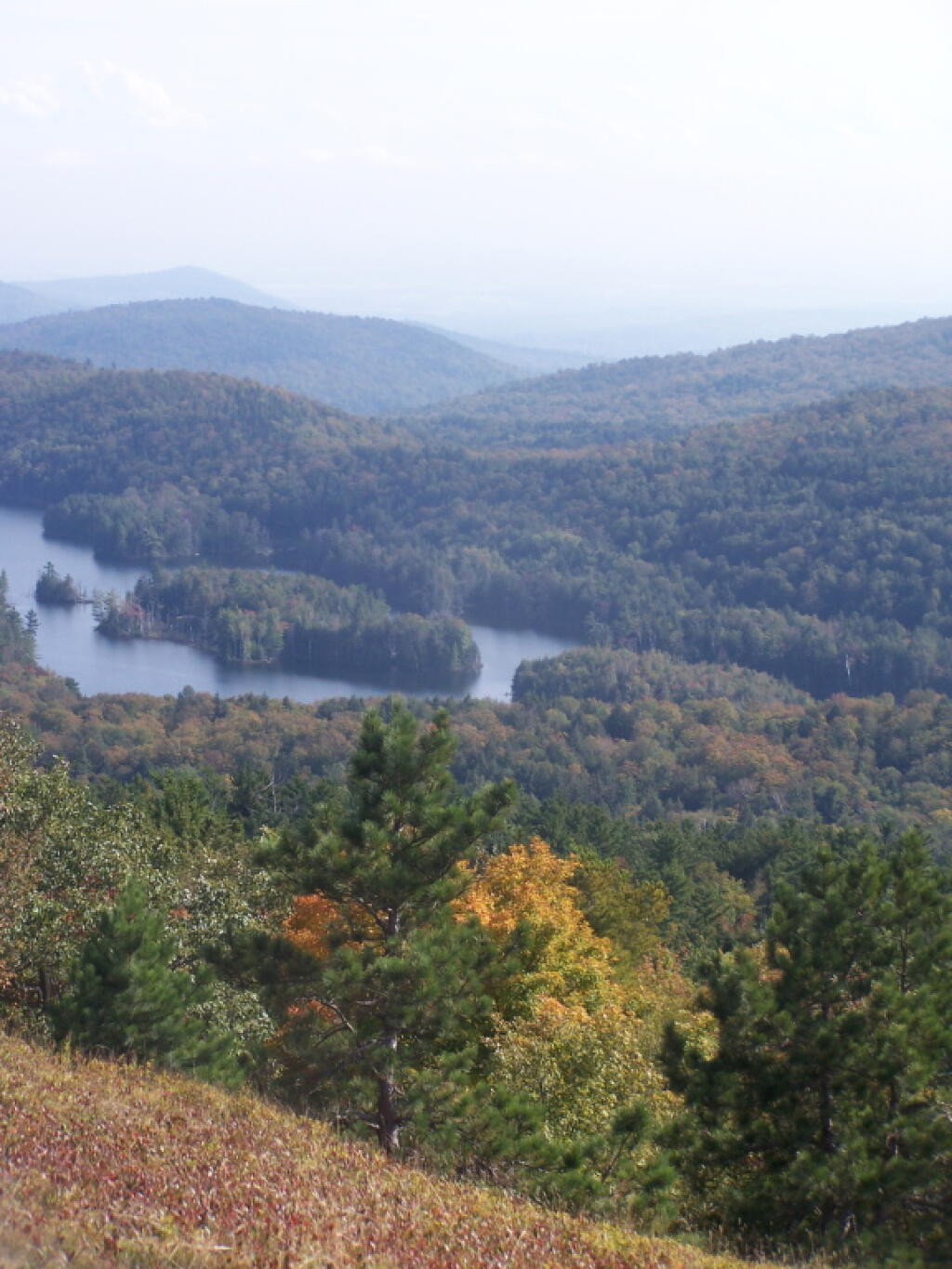
You’ll only be going up 1,985 feet in this 4 hour climb from Pilot to the top of Buck Mountain at 2,448 feet. The summit is very rocky with great views all around. Over the lake on a clear day you will see the High Peaks towering to the north.

🗺️ Maps 🖼️ Photos
Map: Debar Pond
Map: Bates State Forest
Map: Empire State Topography
Thematic Map: Corning Tower Shadow
Map: Saint Regis Canoe Area - USGS 1:24k Topographic Maps Index