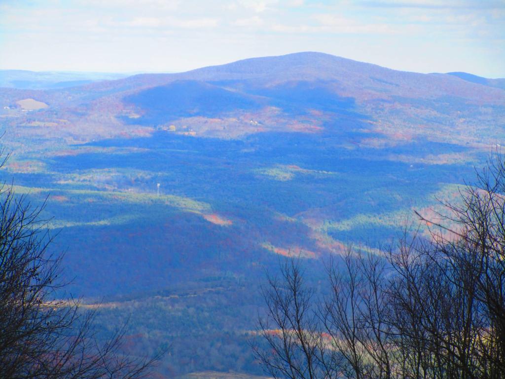
Huntersfield Mountain


Looking down from Bearpen Mountain from the northwest vista on the north end of the mountain.
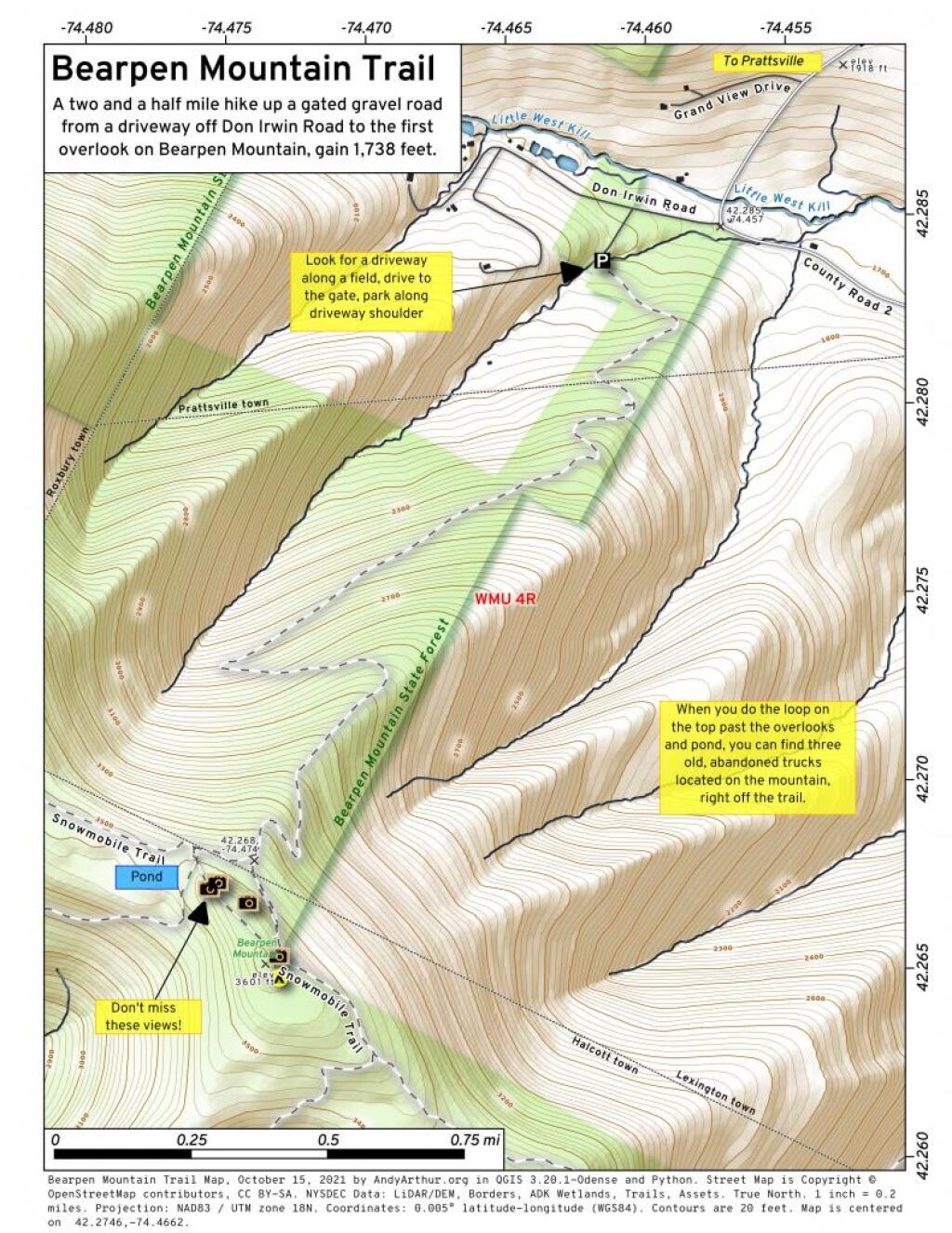
Friday October 8, 2021 — Bearpen Mountain — Bearpen Mountain Trail 🗺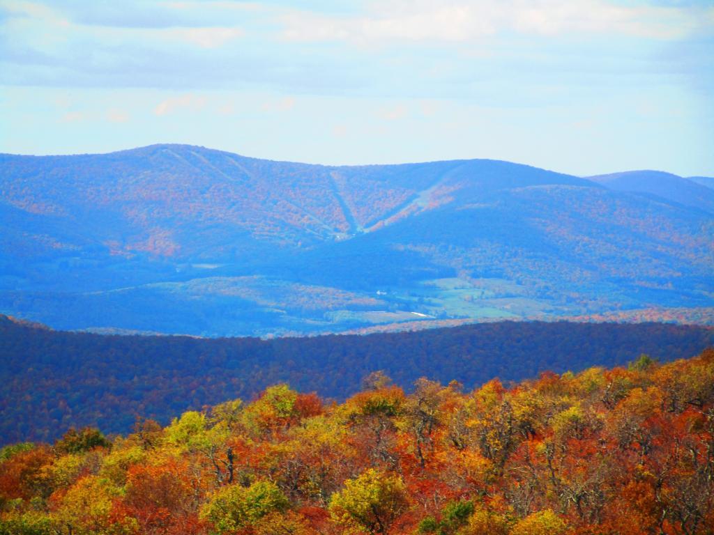

At least that's what it looked like when looking out from Bearpen Mountain on Friday.
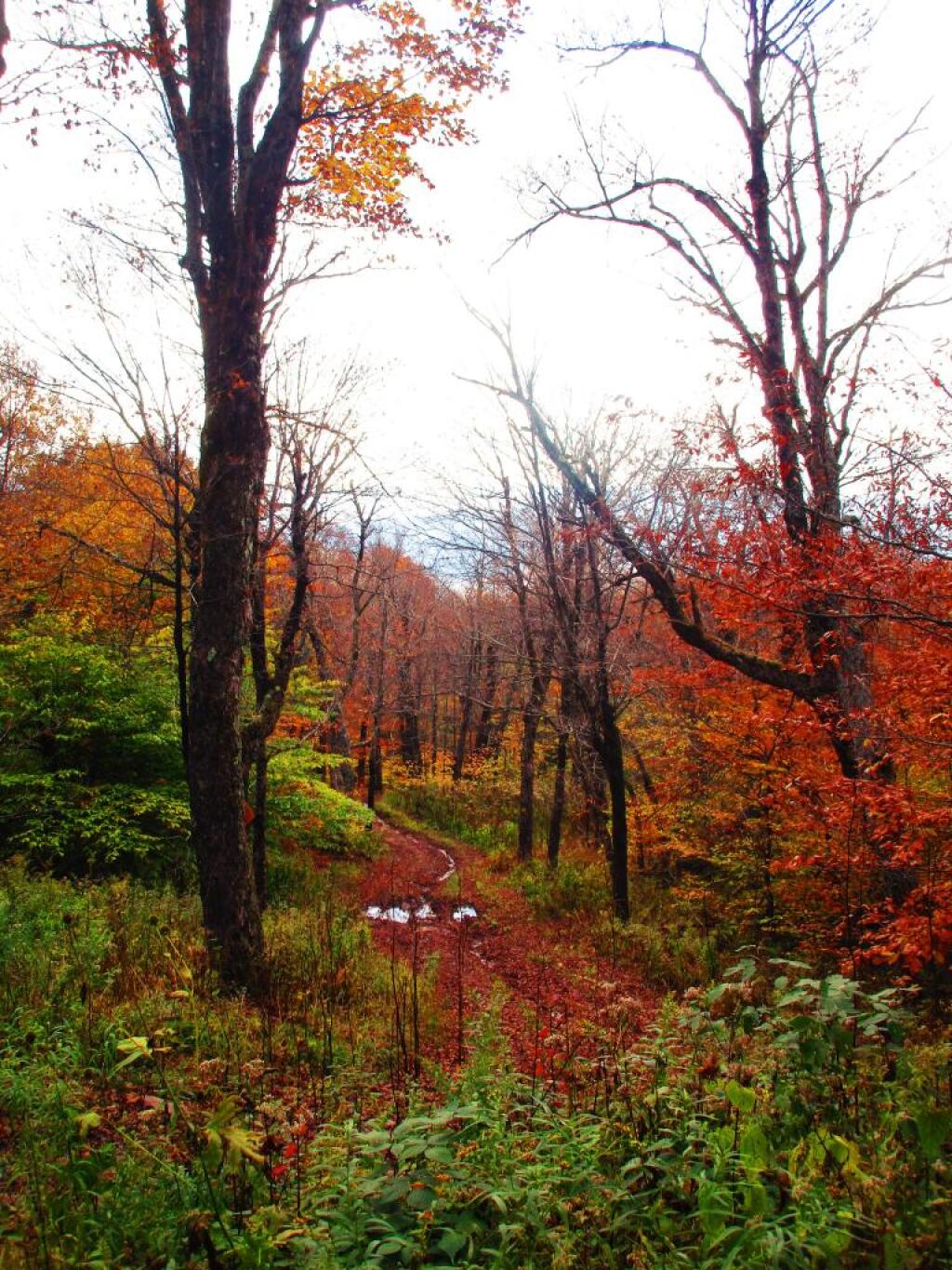
Friday October 8, 2021 — Bearpen Mountain — Bearpen Mountain Trail 🗺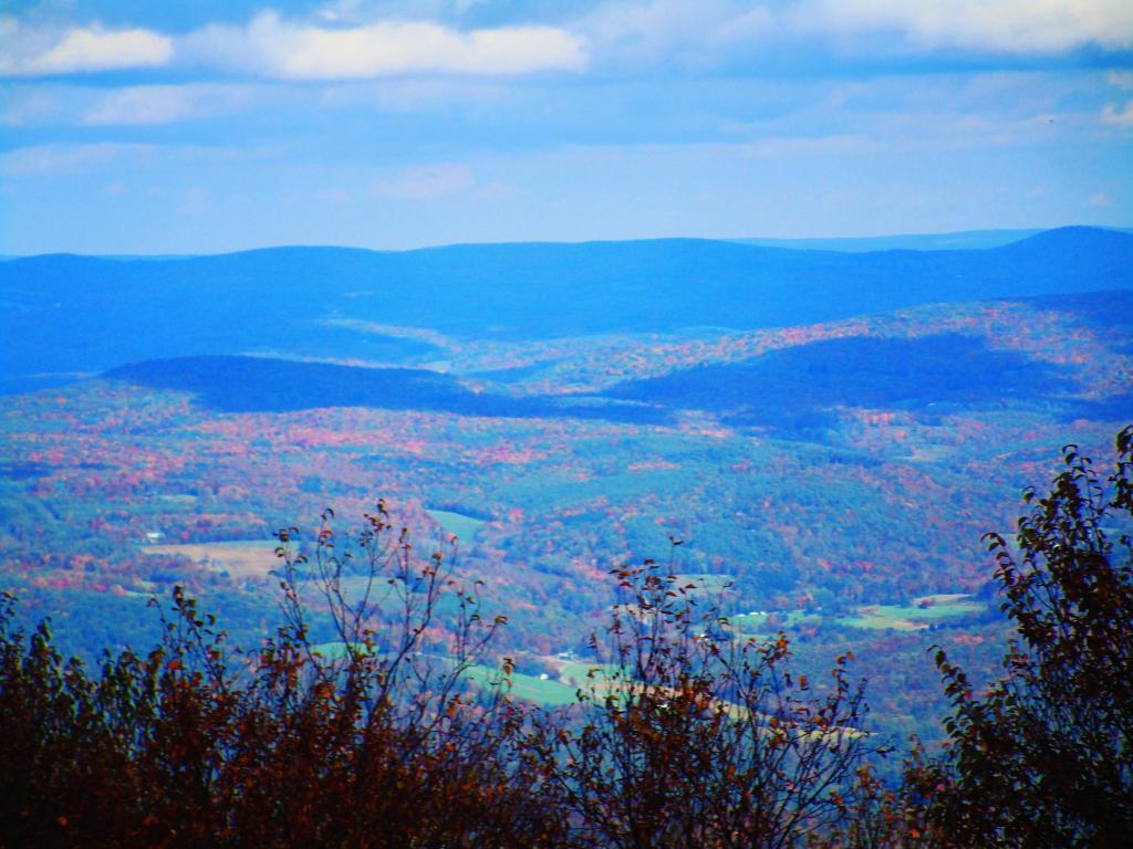

A two and a half mile hike up a gated gravel road from a driveway off Don Irwin Road to the first overlook on Bearpen Mountain, gain 1,738 feet.