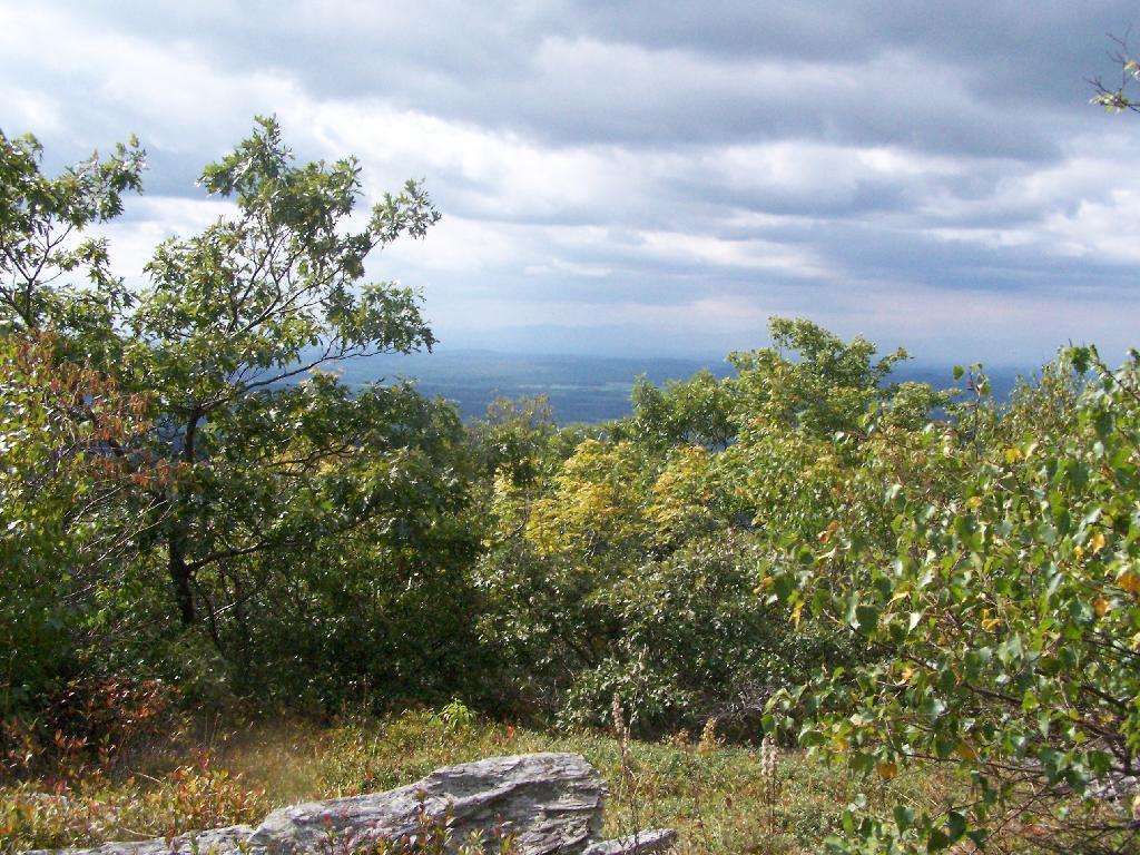
Alander Mountain
I think. Or maybe this is Ashley Hill. I don't know for sure, as I didn't take a compass bearing.
Sunday September 13, 2009 — Alander Mountain
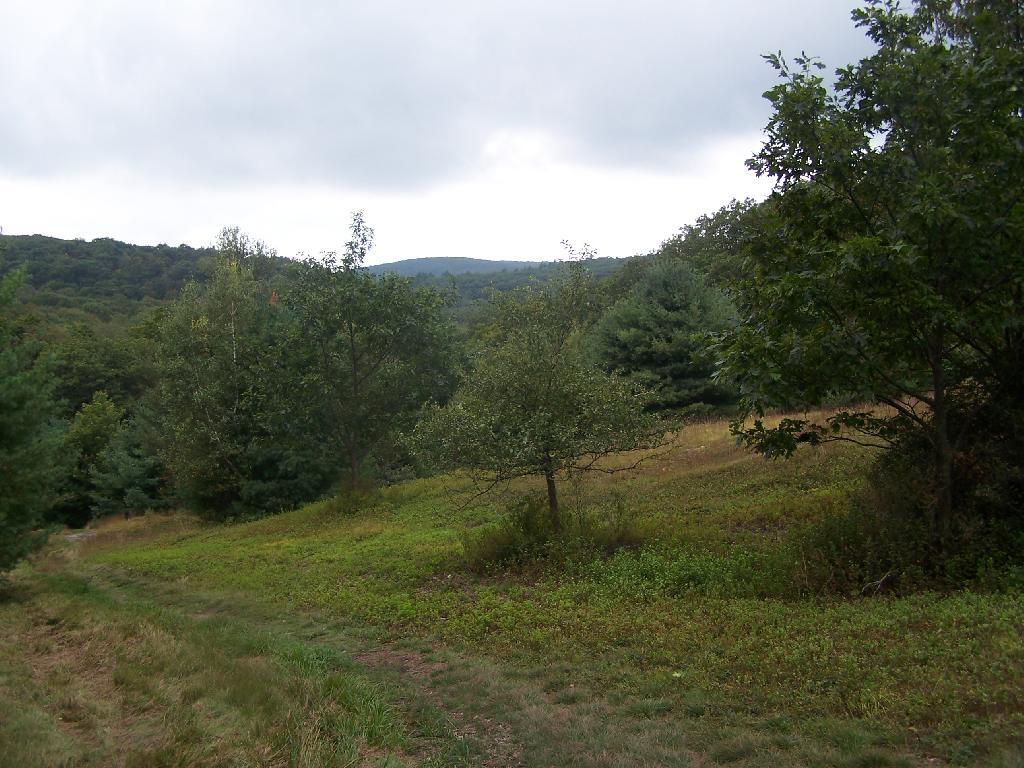
I think. Or maybe this is Ashley Hill. I don't know for sure, as I didn't take a compass bearing.
Sunday September 13, 2009 — Alander Mountain


When you get to the Ashley Hill trail, there is a full set of signs there, including some old ones you can't even read. Figures.
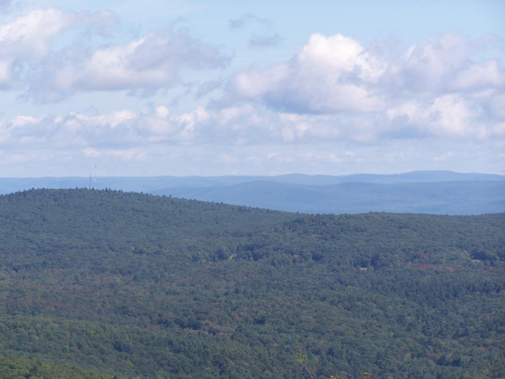
Sunday September 13, 2009 — Alander Mountain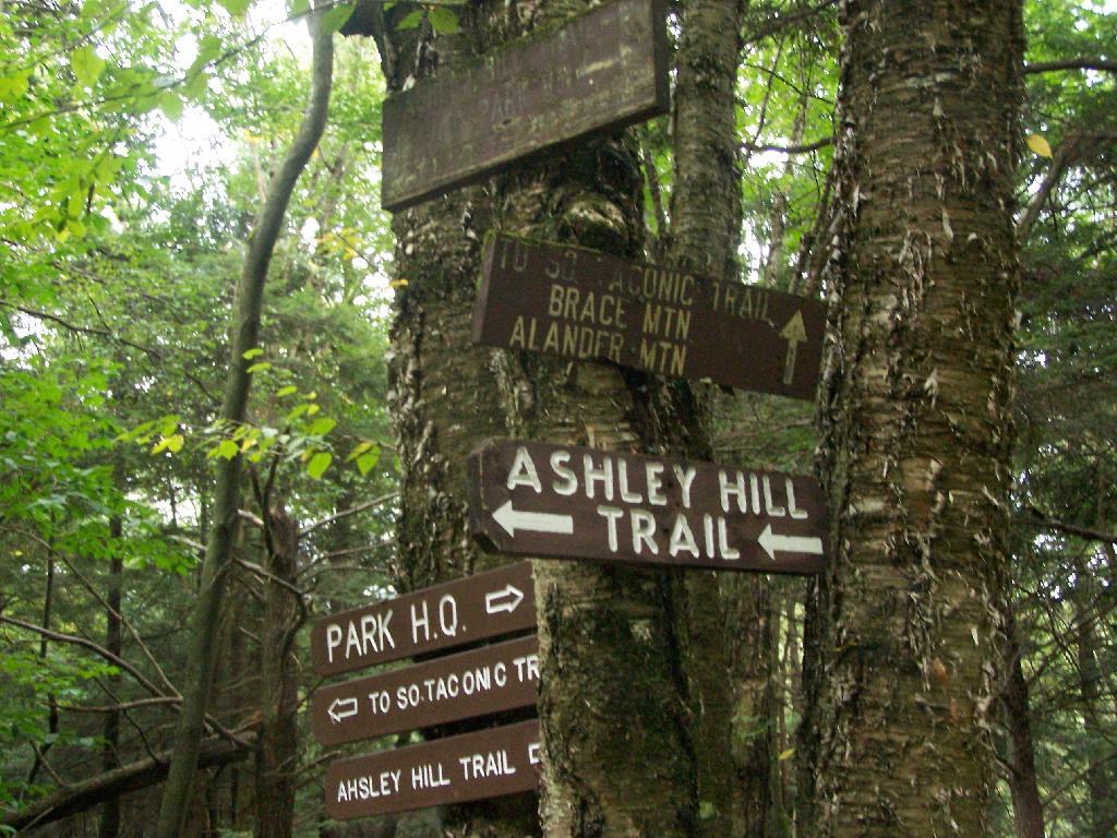

Like I needed two signs to know the South Taconic Trail goes two ways. And is this the cut-across trail to the Ashley Hill trail? Who know, because they left that sign out, or it was stolen.
Sunday September 13, 2009 — Alander Mountain

Fortunately, none would come down, as I didn't have my rain coat with me.
Sunday September 13, 2009 — Alander Mountain