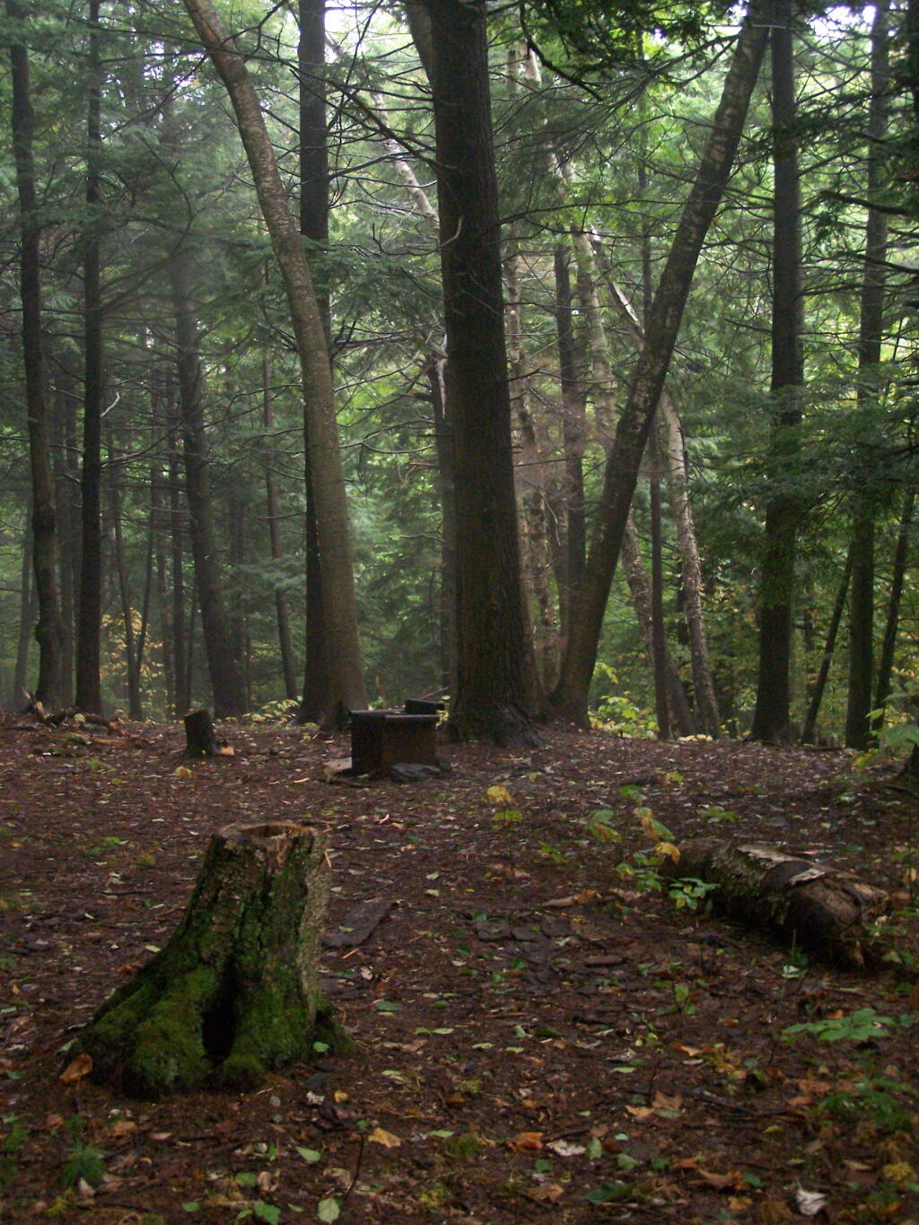
Campsite No. 2
This is an alternative campsite you can stay along the trail.
Sunday September 13, 2009 — Alander Mountain
This is an alternative campsite you can stay along the trail.
Sunday September 13, 2009 — Alander Mountain

This primitive camp-site is 1 1/2 miles from the start of the trail, and is a 40 minute walk according to the photo date stamp from the parking area.
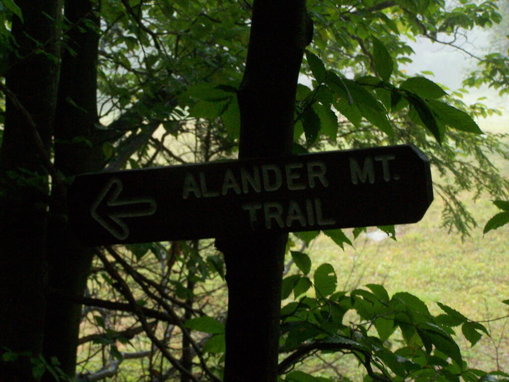
Sunday September 13, 2009 — Alander Mountain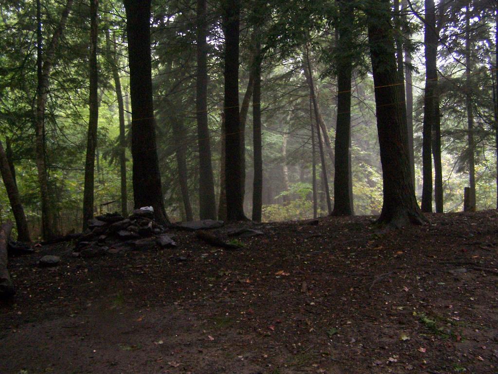

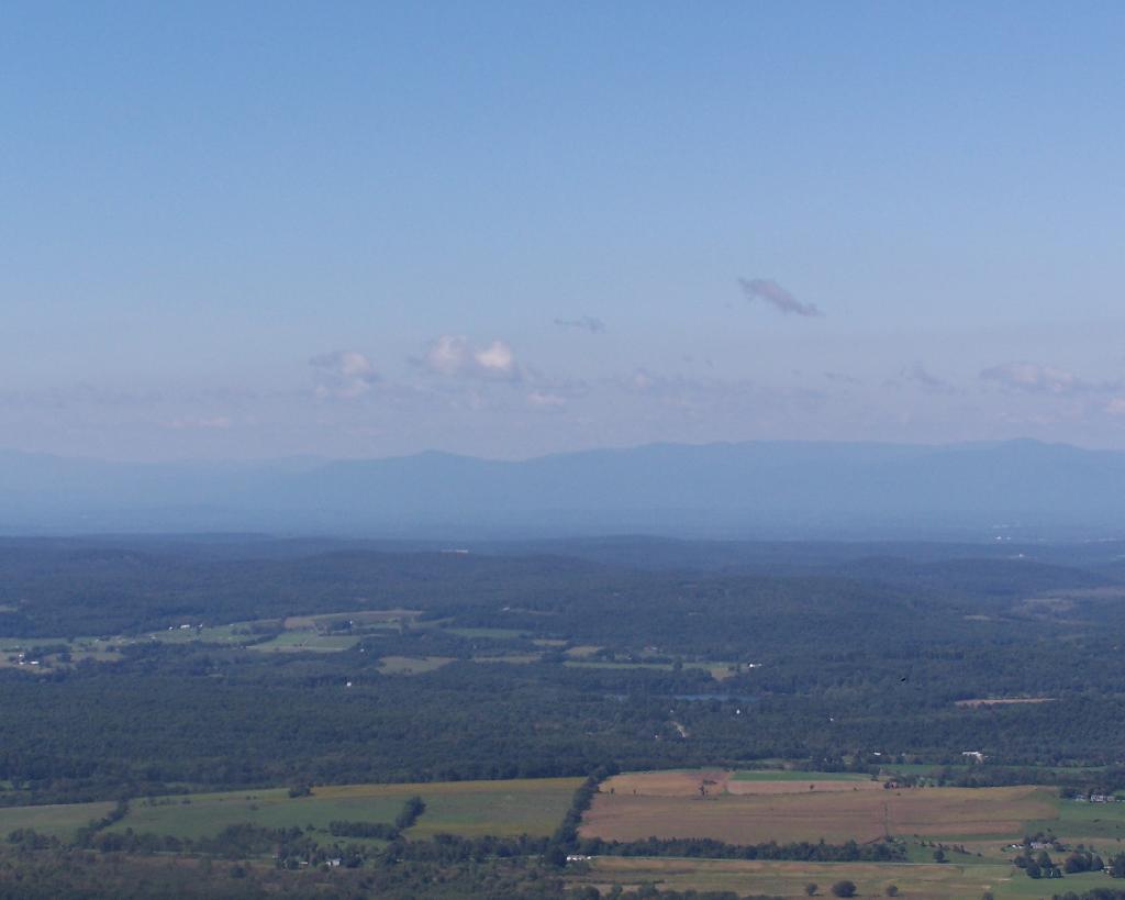


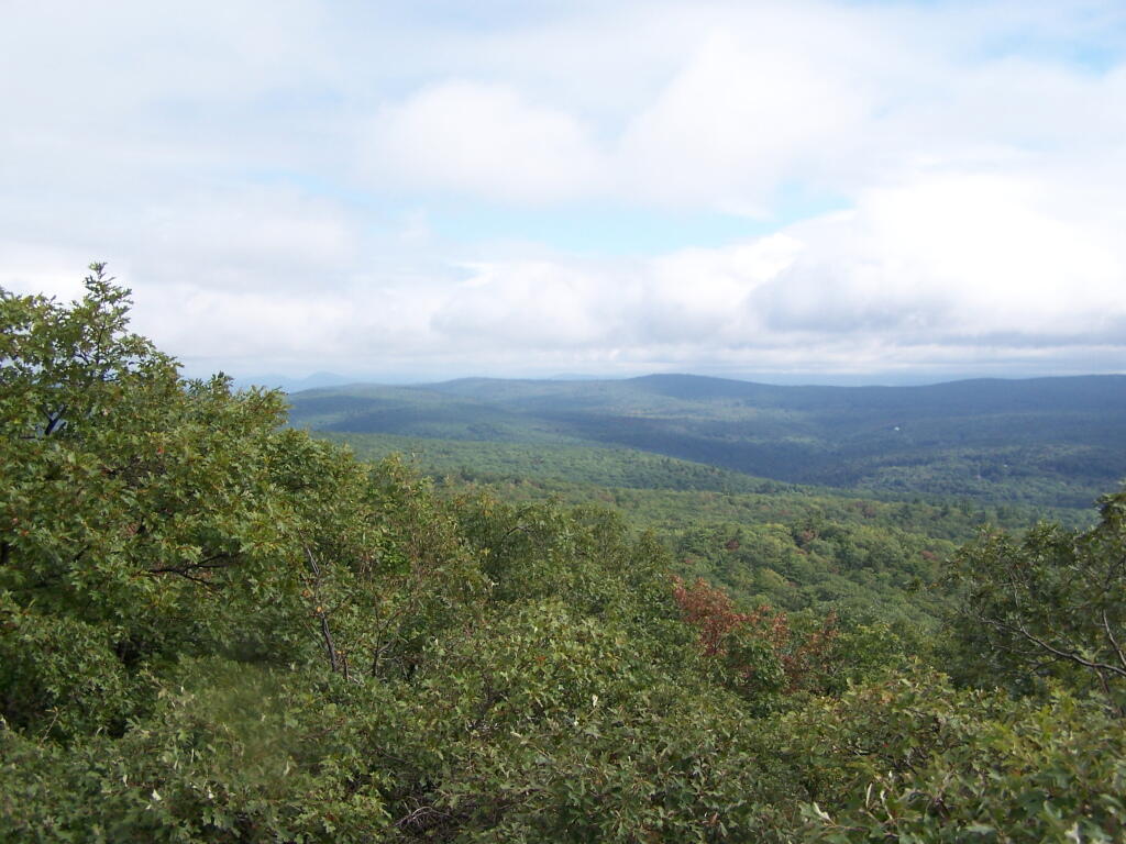
Watching the amazing process as the clouds float to the east and things get progressively clearer.
Sunday September 13, 2009 — Alander Mountain