Outhouse Along NY 28/Boreas Camping Area 🖼️
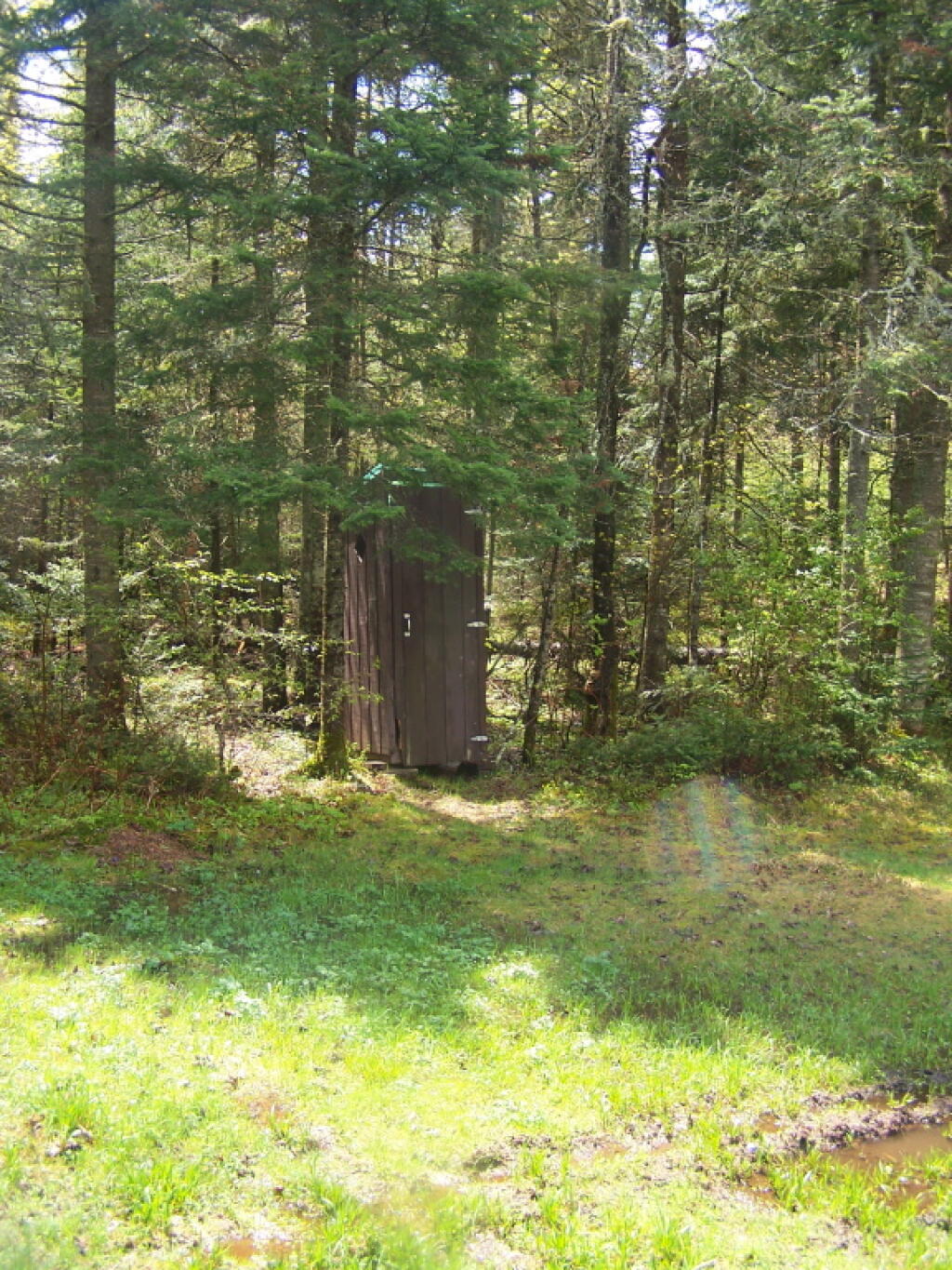
Download a JPEG Image of the Outhouse Along NY 28/Boreas Camping Area.
Outhouse Along NY 28/Boreas Camping Area ...
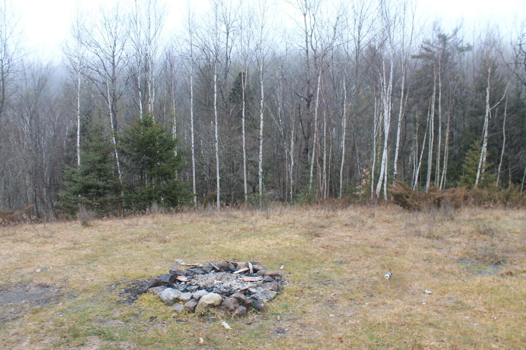
One good thing about Vanderwhacker Wild Forest, much like Moose River Plains, is most of the campsites have outhouses, which helps keep things cleaner. Many of them seemed to be in decent shape, unlike the fire pits and picnic tables (where they existed), which where rotten and in serious disrepair.
Taken on Saturday May 21, 2011 at Vanderwhacker Mountain Wild Forest.

More about Vanderwhacker Mountain Wild Forest...
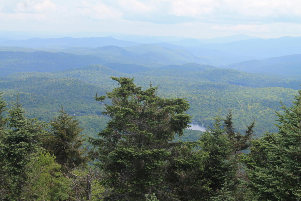
Vanderwhacker Mountain Wild Forest is a 91,854-acre public preserve in New York’s Adirondack Park. The diverse terrain features quiet lakes, vast wetlands, and rugged peaks. The highlight is the 3,386-foot Vanderwhacker Mountain, which features a restored fire tower offering panoramic views of the High Peaks. Visitors enjoy primitive camping, backcountry hiking, paddling, and snowmobiling. It provides a peaceful, less-crowded wilderness experience for outdoor enthusiasts seeking rugged Adirondack beauty.
Download the PDF Map Pack with All Maps from Vanderwhacker Mountain Wild Forest.