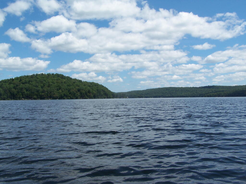
Big Island 🖼️
Download a JPEG Image of the Big Island.
Big Island ...
While it's not clear from the picture, the object on the left is actually an island, or maybe more properly, a mountain, surrounded by water by the the Woodhull Lake Dam.
Taken on Monday June 27, 2011 at Woodhull Lake Reservior.

More about Woodhull Lake Reservior...
1,118 acres in McKeaver NY, before you cross the Moose River Bridge on NY 28, about a 2 mile drive back from NY 28. The lake depth varies from about 20 feet in shallower portions to as much as a 90 feet on the eastern portions of lake. Home to Lake Trout, Brook Trout, Splake, White Sucker, Yellow Perch, Brown Bull, and Golden Shiner.
http://www.dec.ny.gov/docs/fish_marine_pdf/woodlkmap.pdf
Download the PDF Map Pack with All Maps from Woodhull Lake Reservior.


