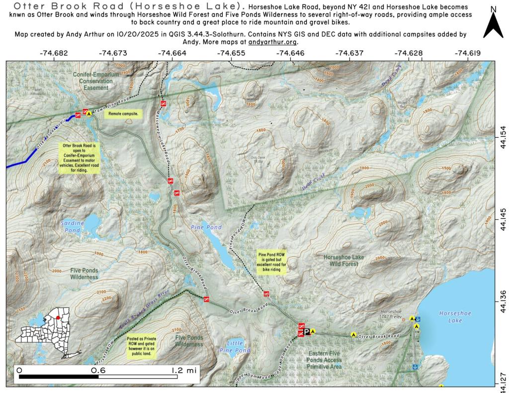
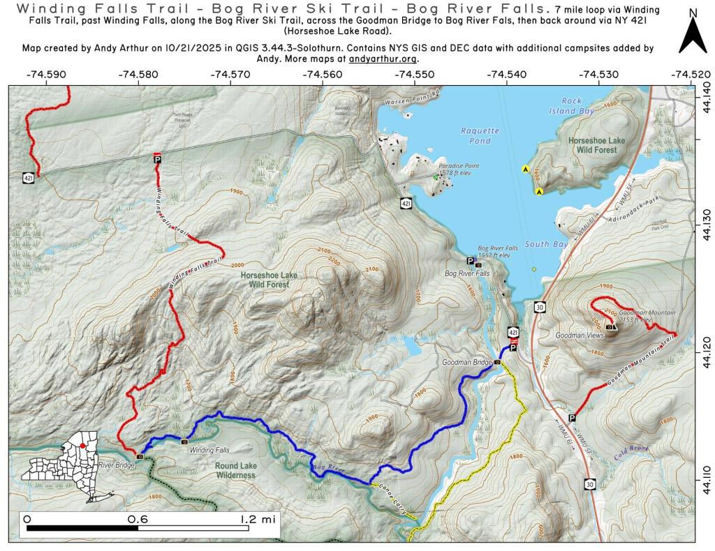
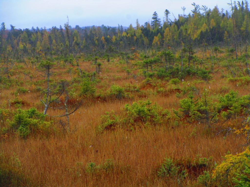
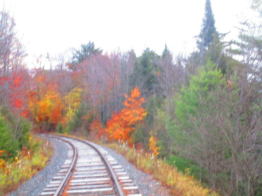
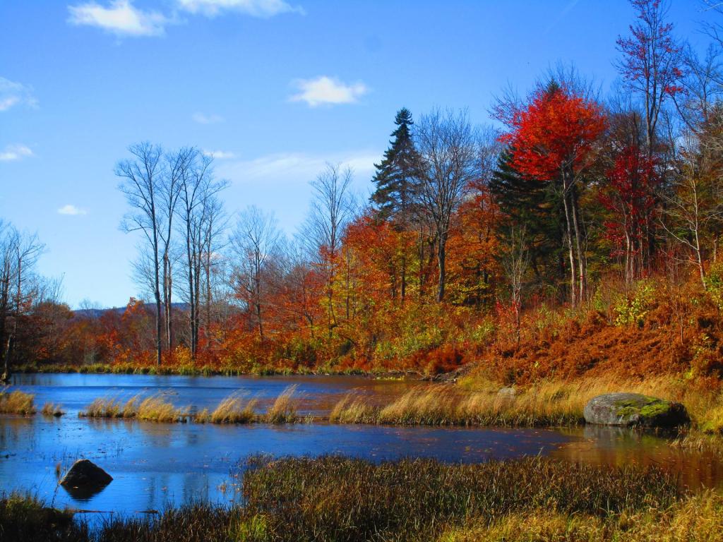
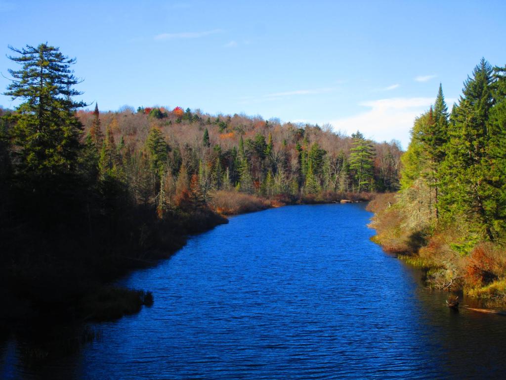
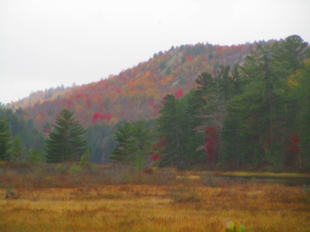
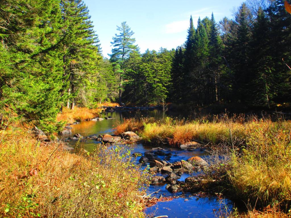
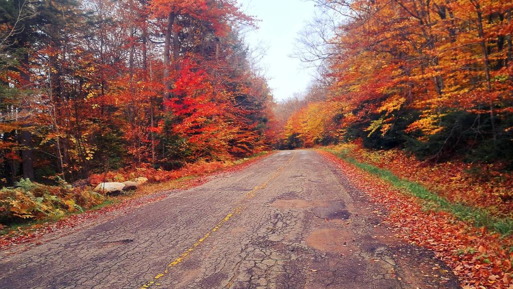
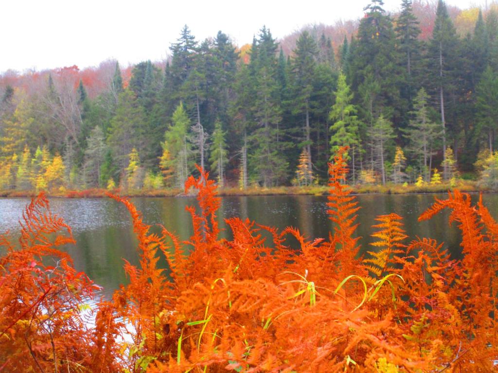
DEC Maintained Section of Horseshoe Lake Road 🖼️
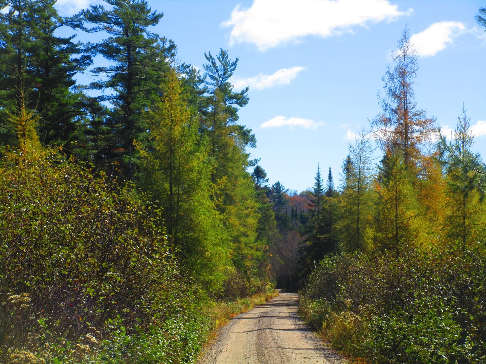
Download a High Resolution JPEG Image of the DEC Maintained Section of Horseshoe Lake Road or an Adobe Acrobat Printable PDF of the DEC Maintained Section of Horseshoe Lake Road.
DEC Maintained Section of Horseshoe Lake Road ...
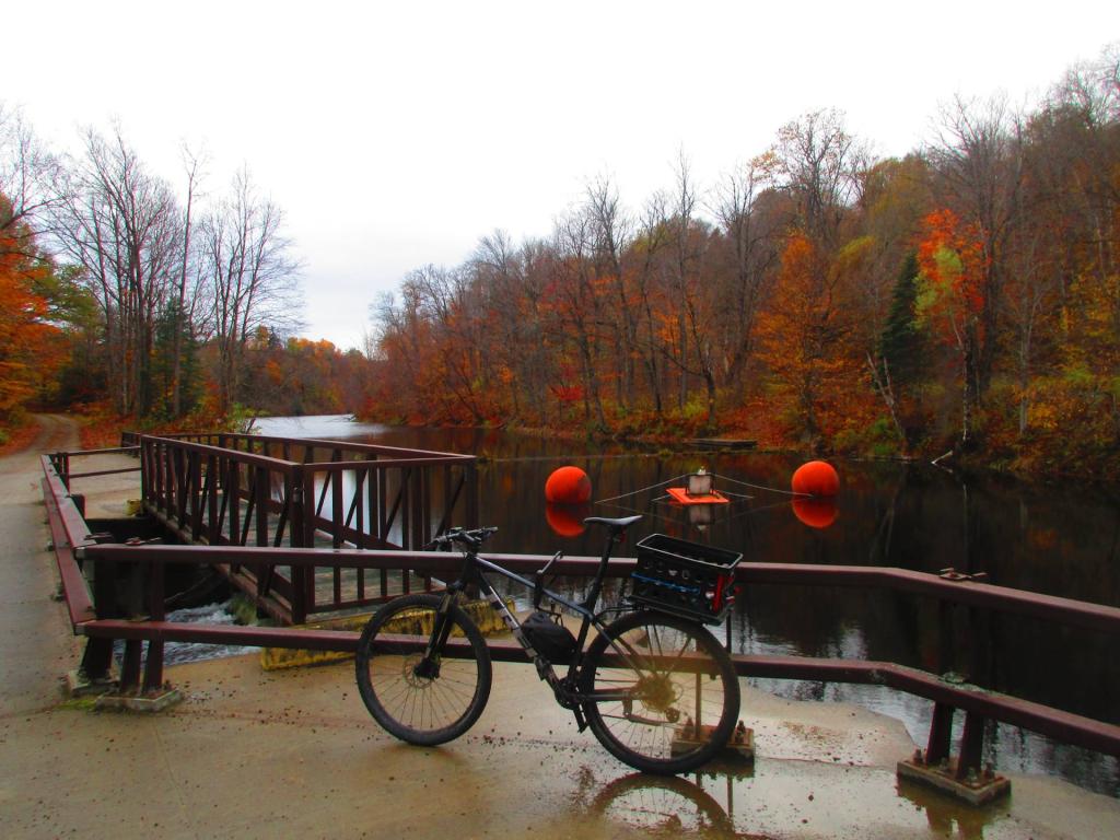
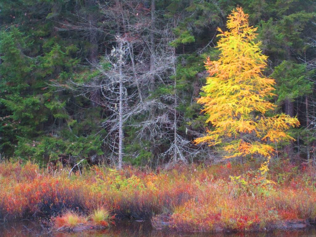
Taken on Wednesday October 15, 2025 at Horseshoe Lake Wild Forest.
More about Horseshoe Lake Wild Forest...
Located mostly on the southern shores of Tupper Lake, Horseshoe Lake Wild Forest is popular for those adventurers looking to escape the crowds of Tupper Lake. There are six primitive camping spots available along Horseshoe Lake, with a few others away from the lake. The wild forest also has access of Lows Lake & Hitchins Pond Primitive Area for those looking to explore the area. The Bog River is a very popular destination, however the most popular hiking destination is the fire tower on Mount Arab.
http://www.cnyhiking.com/HorseshoeLakeWildForest.htm
Download the PDF Map Pack with All Maps from Horseshoe Lake Wild Forest.