LIDAR Fox Lair 🗺

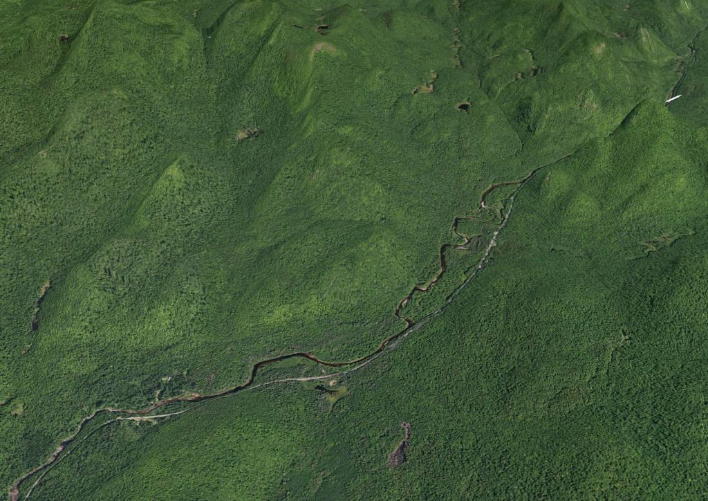
Fox Lair - LIDAR Surface Image

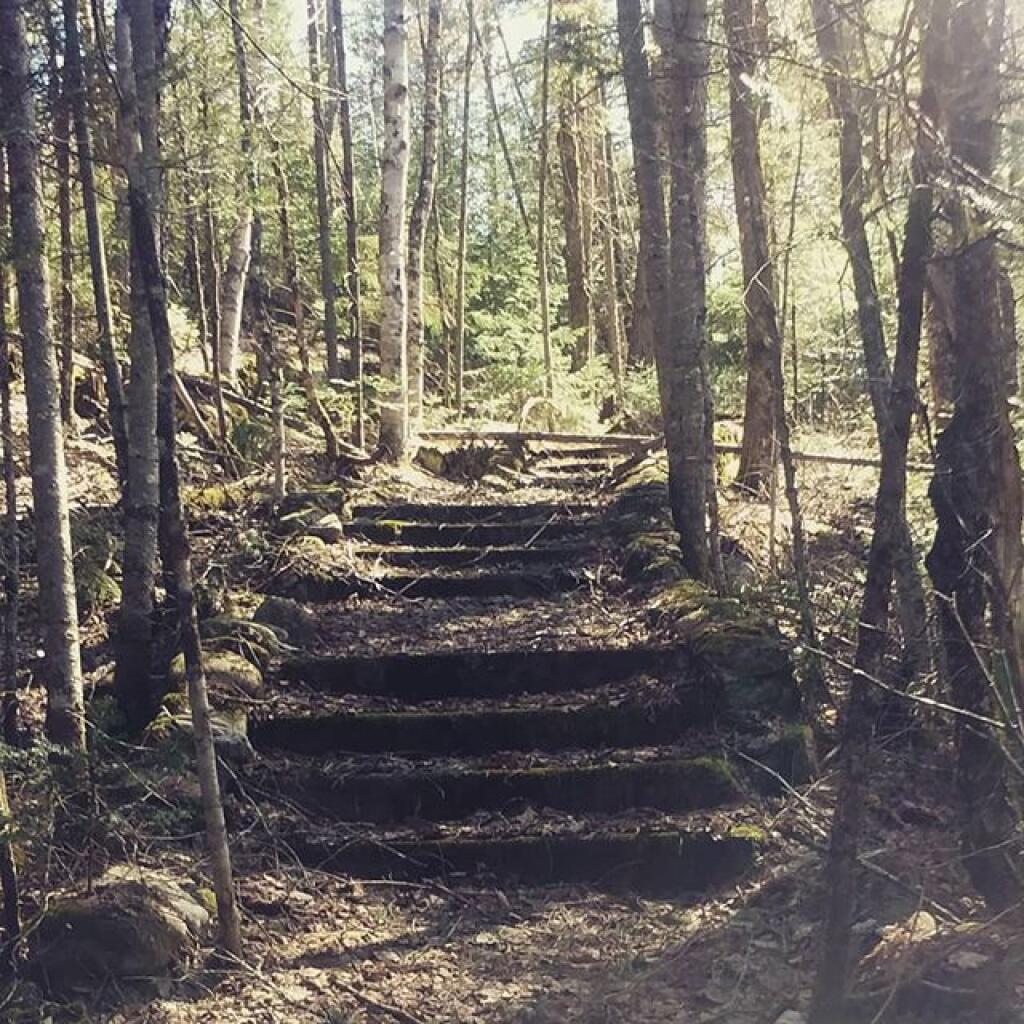
Been exploring the old ruins of the Fox Lair Camp and the old tannery on the East Branch Sacandaga River. I was thinking if I could download a LIDAR point cloud or even just a digital terrain model I could have a better overview of the stairways and other remaining debris of the areas hidden normally by the tree cover.

Map: Cod Pond Trailhead   Camping Opporunities
Map: Eagle Pond Trail
Map: East Branch Gorge Trail
Map: East Branch Sacandaga River - NY 8
Map: Fox Lair Campsites
Terrain Map: East Branch Sacandaga River
Terrain Map: Fox Lair
Thematic Map: Fox Lair Campsites On Former Fox Lair Estate - Overlaid On Aerial Photo From 1942
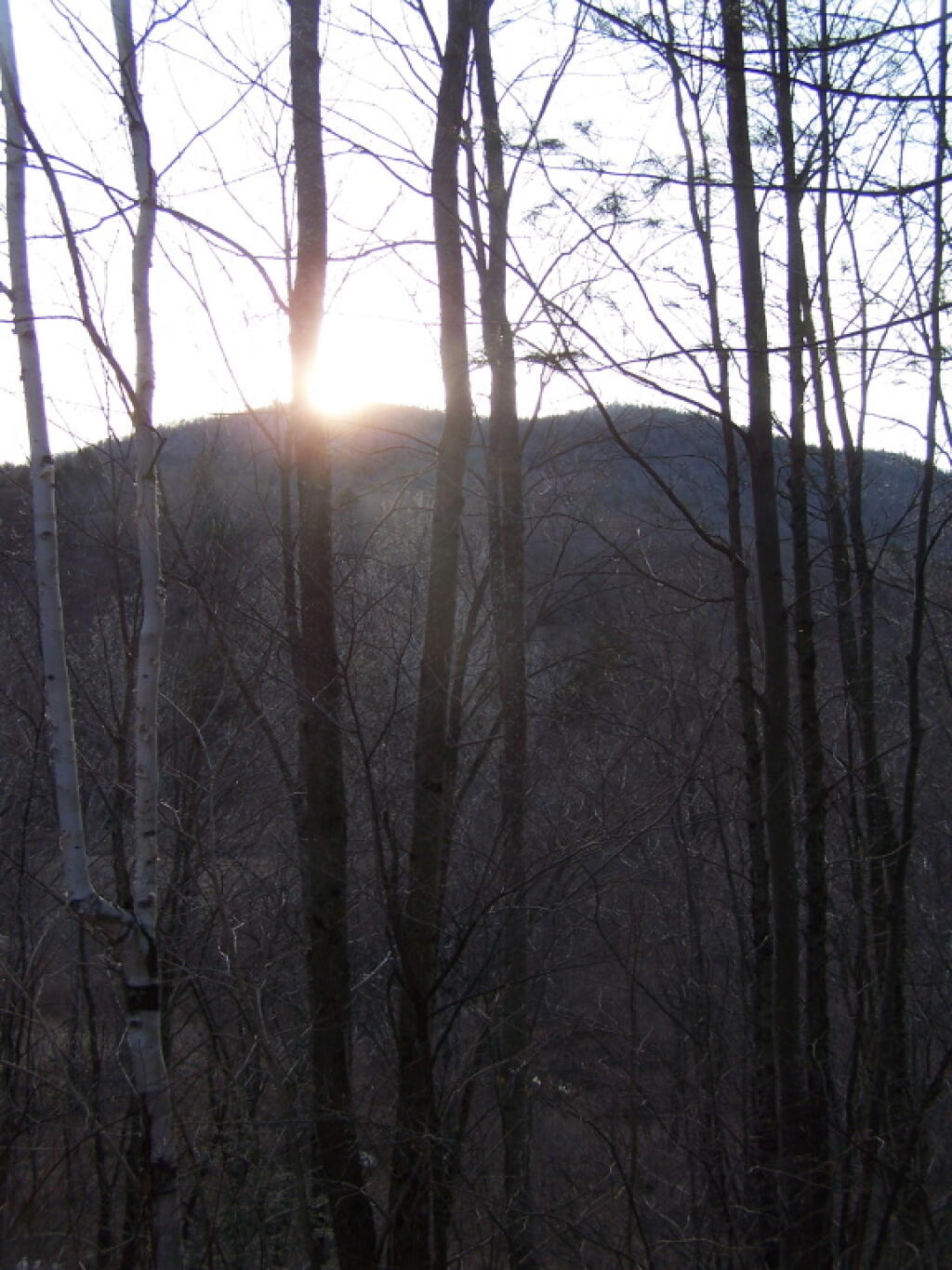
Photo: Setting Sun
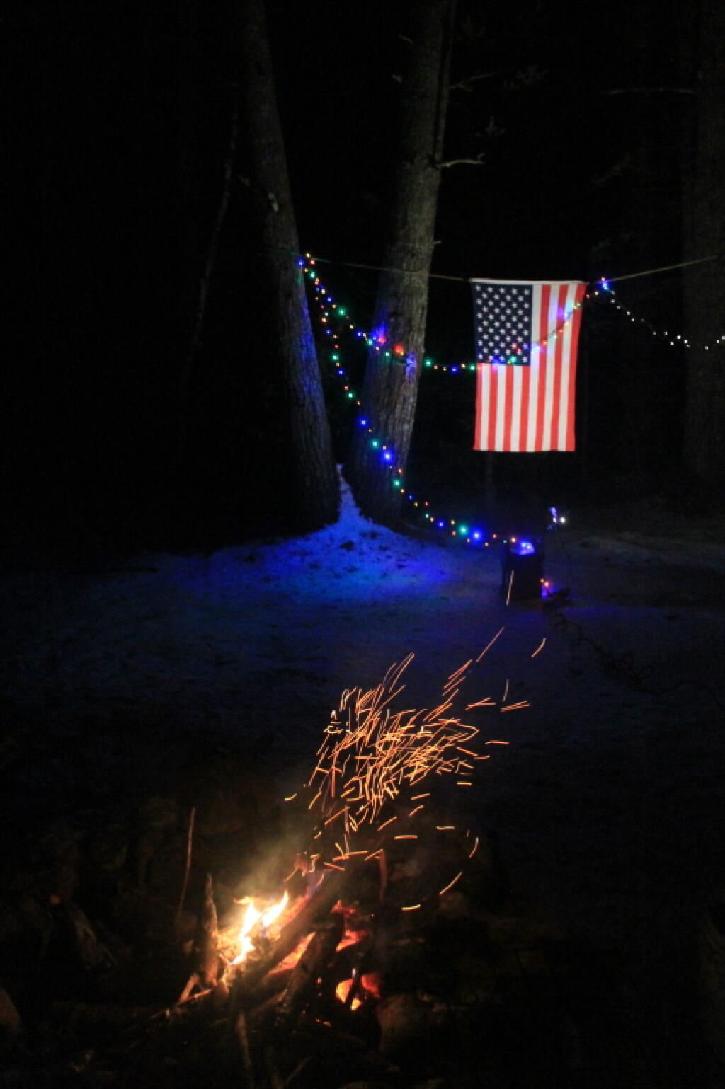
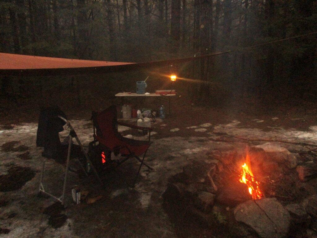
Photo: As the Fire Dies Down
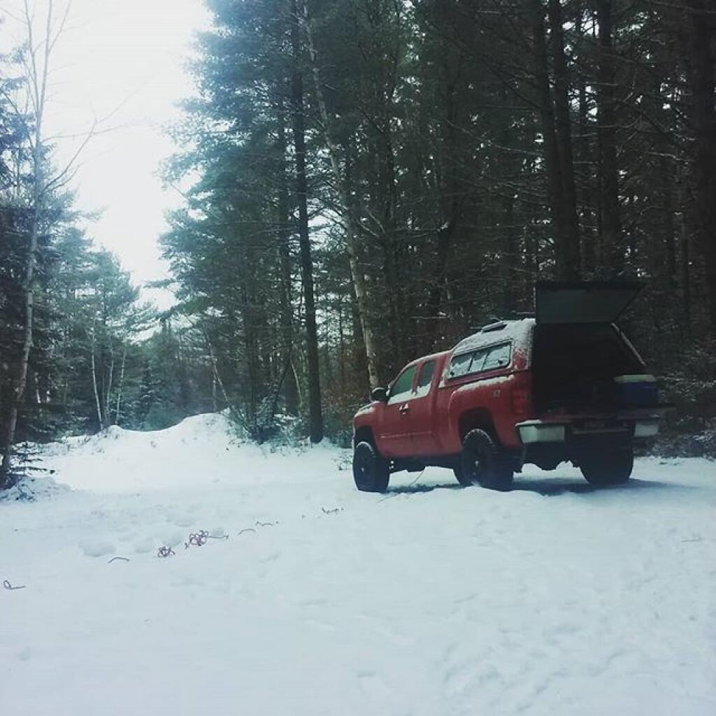
Photo: Snowy morning
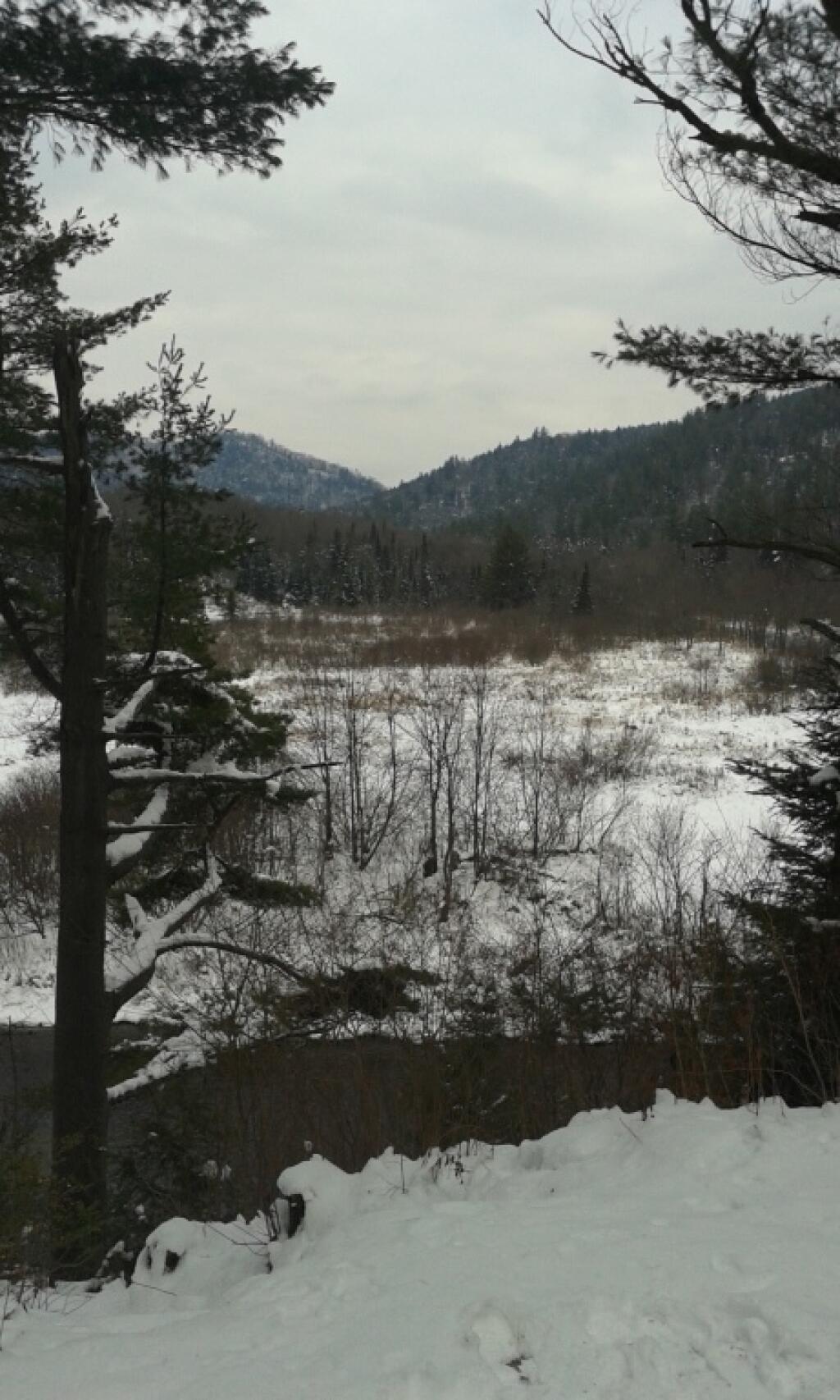
Photo: Snowy Wet Siamese Pond Wilderness
Photo: Snowy morning at Fox 🦊 Lair Campsite
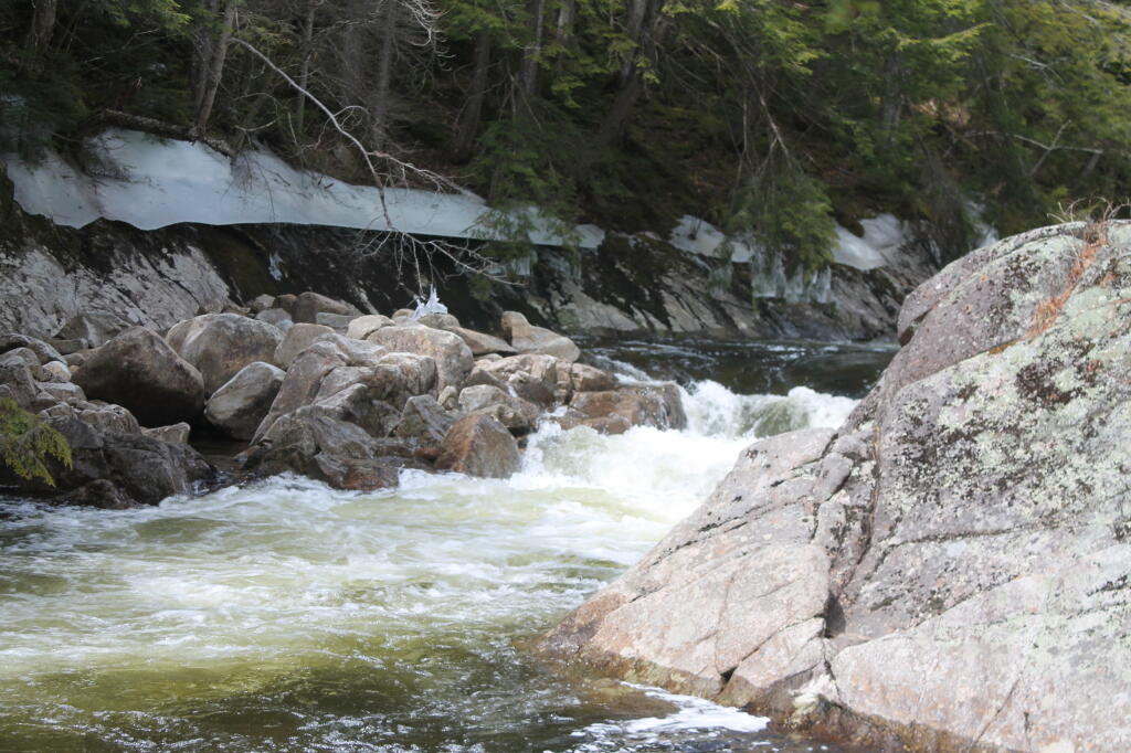
Photo: Small Waterfall on the East Branch
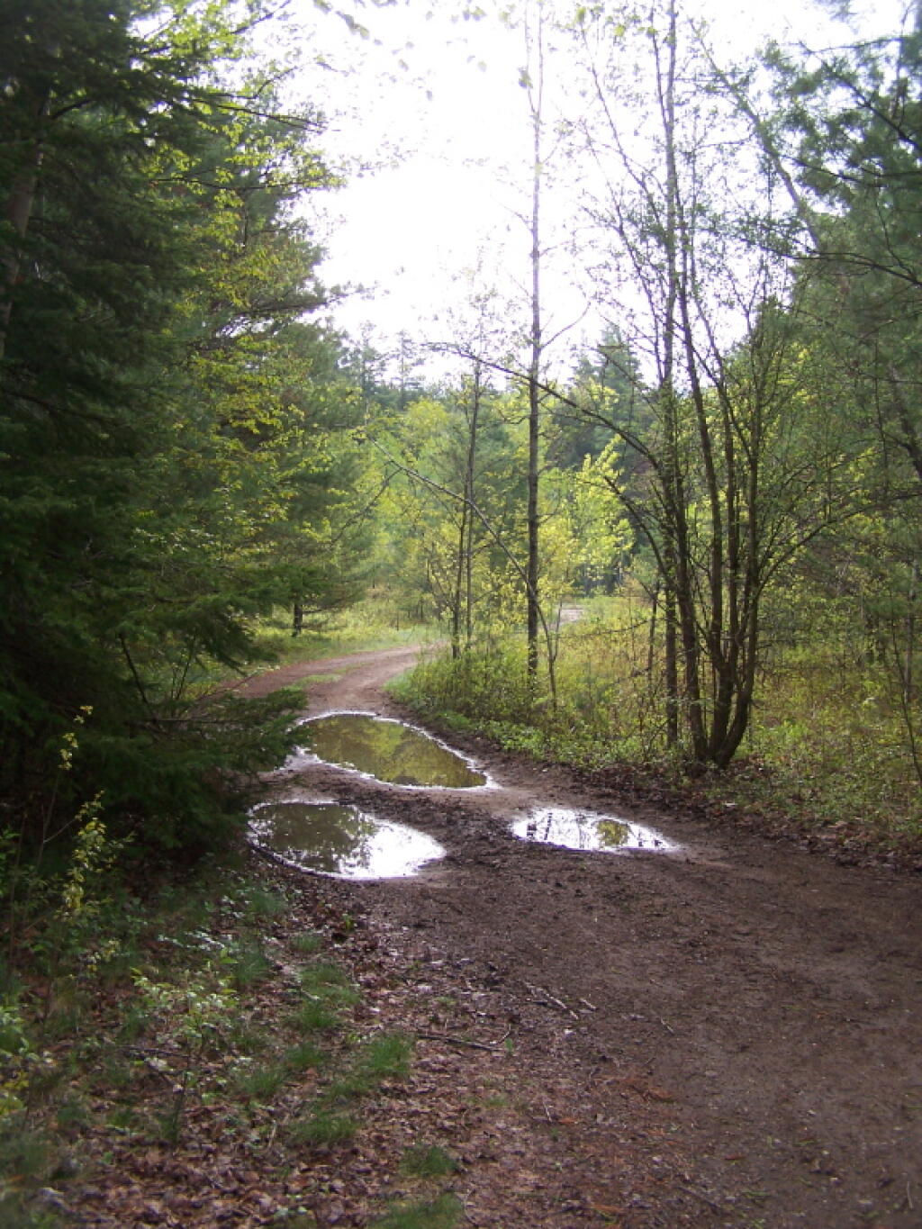
Photo: Looking Back Out Towards NY 8
Photo: Old Stair Case at Fox Lair
Photo: Staying Warm
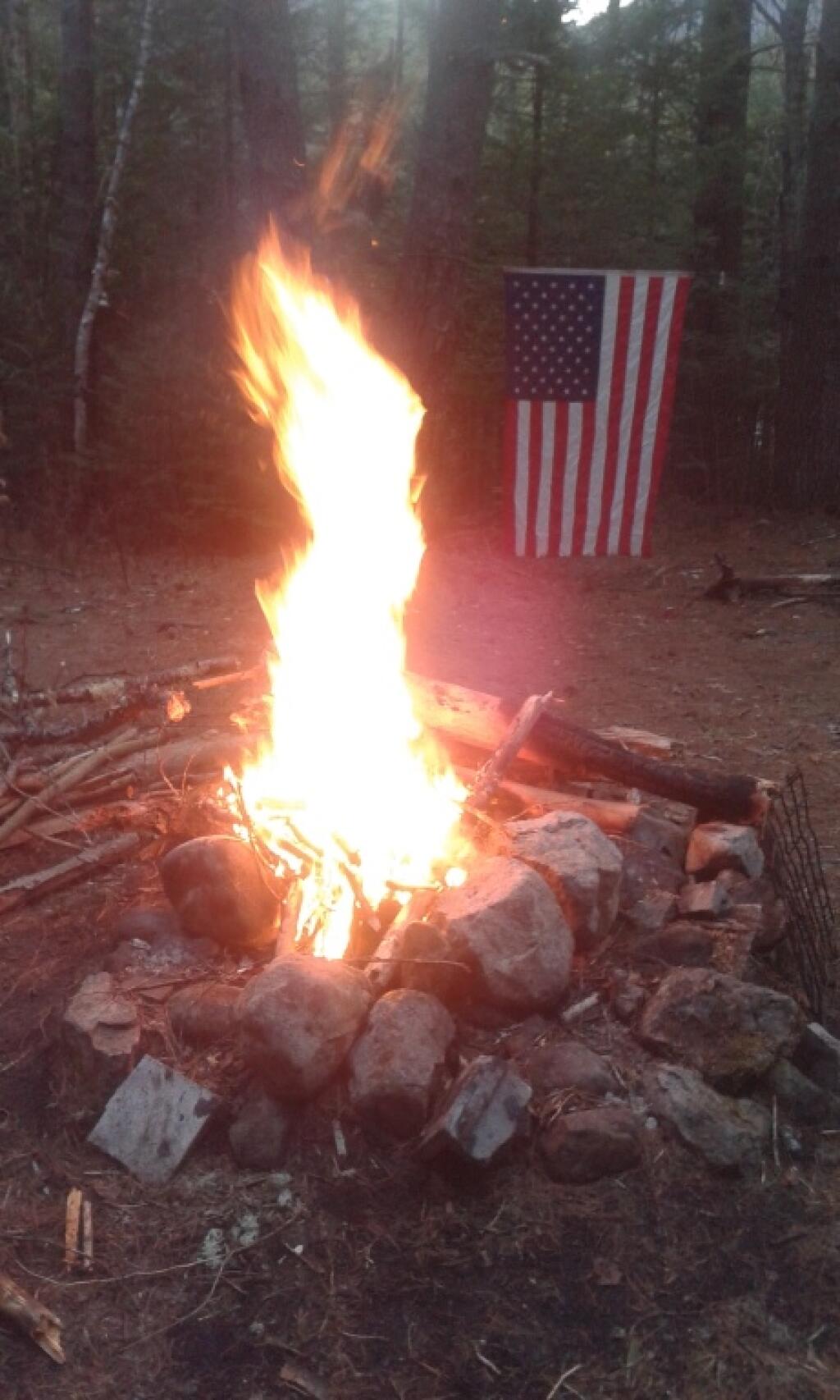
Photo: Roaring Campfire

Leave a Reply

Your email address will not be published. Required fields are marked *