
Powley Place 🗺️

Helpful Hint: While I suggest you look on blog for a downloadable PDF Map, you should be able to print or save this map by clicking the print button on the map above.
Data Sources
Road Trip to Coal Country by Nate Matthews - You can download the KMZ File used in creation of this map.
USGS Aerial Imagery - Moderate-resolution, summer aerial photography from USGS. National Map. WMS Service: https://basemap.nationalmap.gov/arcgis/services/USGSImageryOnly/MapServer/WMSServer, Layer: 0
Campsites in Backcountry (NY/PA/VT) - Shows location of campsites and lean-tos in New York State. Derived from NYSDEC's MMS, along with OpenStreetMap, various DEC Maps and heads-up locations added by Andy Arthur. NYSDEC MMS, OpenStreet Map (©CC-BY-SA), Andy Arthur. Download KMZ File.
NYS Roads and Trails (Invert) - NYSDEC. Download KMZ File / Download GeoJSON File
ArcMap FeatureService: https://services6.arcgis.com/DZHaqZm9cxOD4CWM/ArcGIS/rest/services/DEC_Trails/FeatureServer/ Query: 0,1,2,3,4,5,6
NYS Streets - NYS GIS/ITS Services. WMS Service: https://gisservices.its.ny.gov/arcgis/services/NYS_Streets/MapServer/WMSServer?, Layer: 1,2,3,4,5,6,7,8,9,10,11,12
3DEP Elevation Hillshade. LIDAR and legacy USGS DRG Topo Derived hillshades used as a background. DEM - WMS Service: https://elevation.nationalmap.gov/arcgis/services/3DEPElevation/ImageServer/WMSServer, Layer: 3DEPElevation:Hillshade Gray
Full List of WMS and ArcMap Services - CSV Spreadsheet with all web map services currently used on the blog.
More about Piseco-Powley Road...
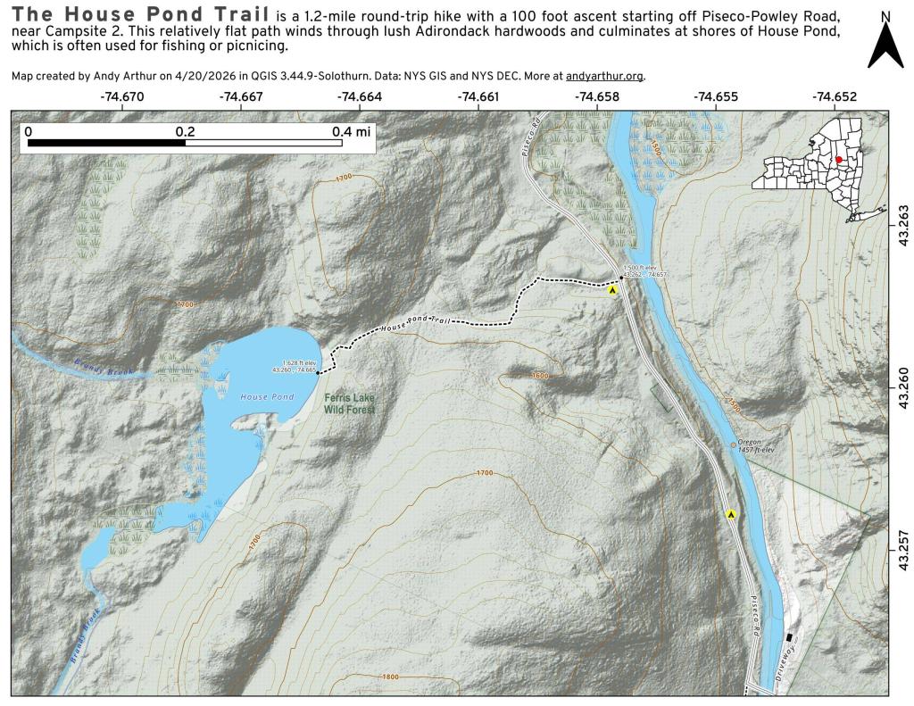
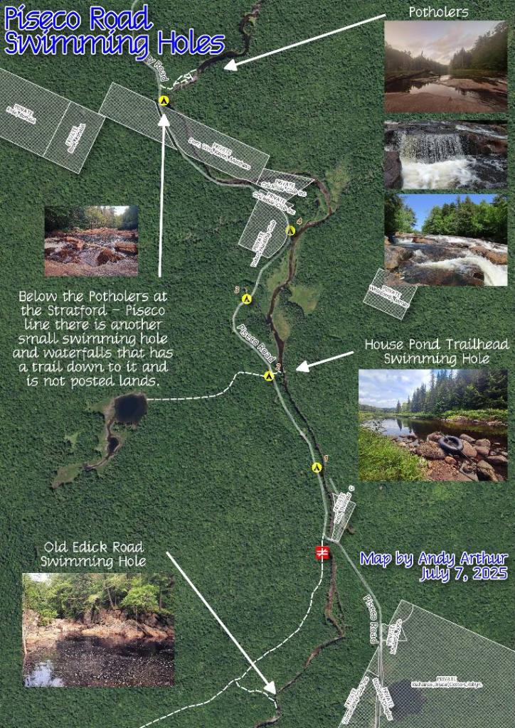
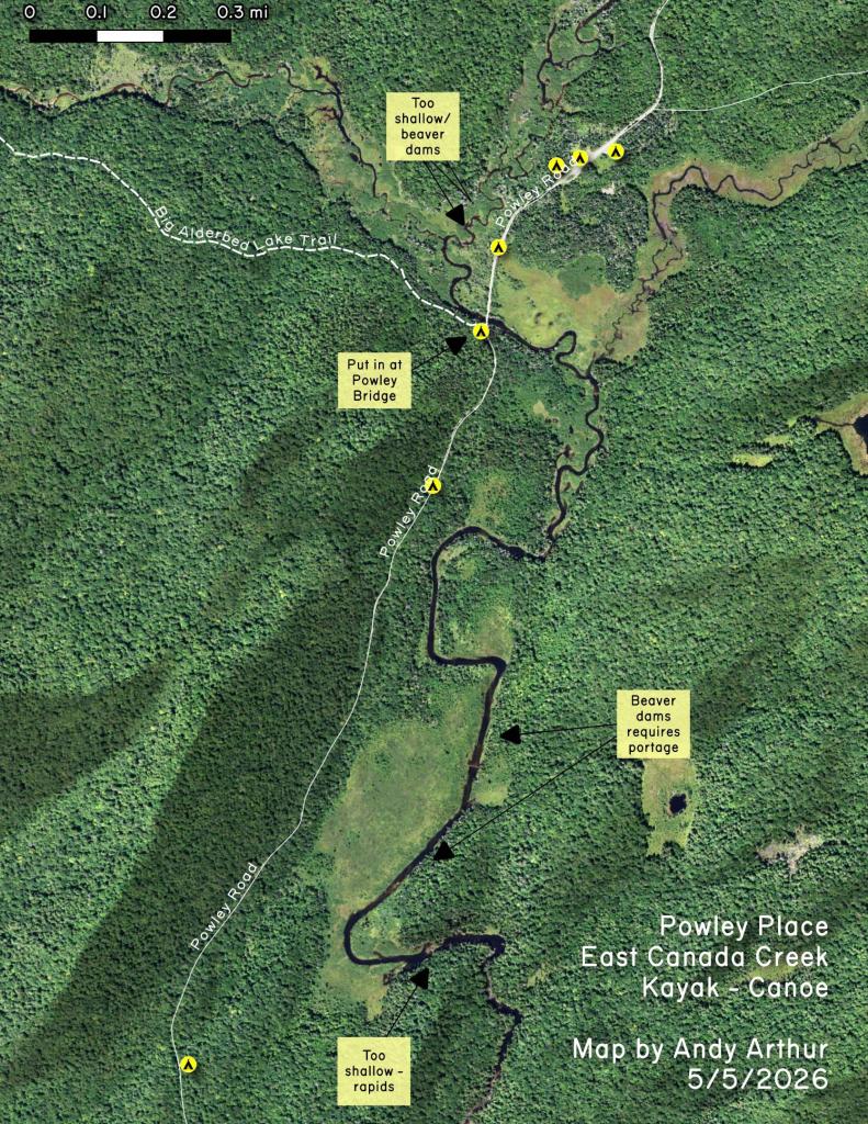
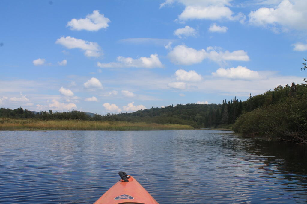
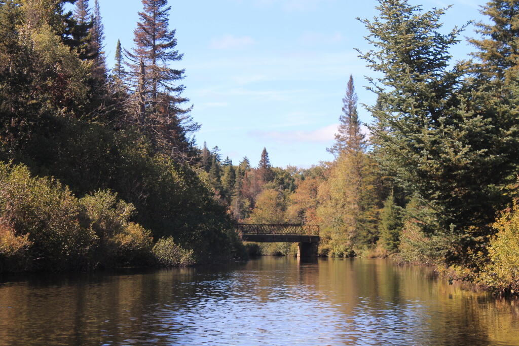
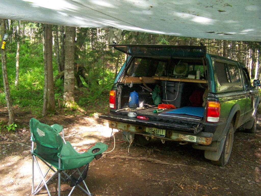
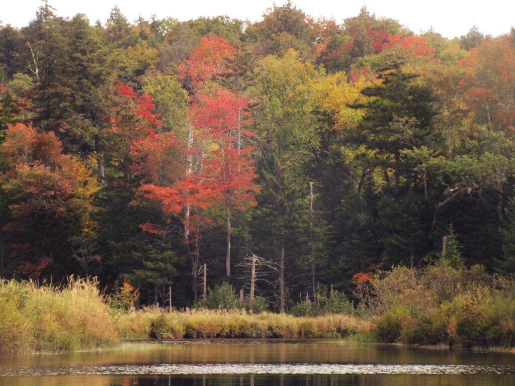
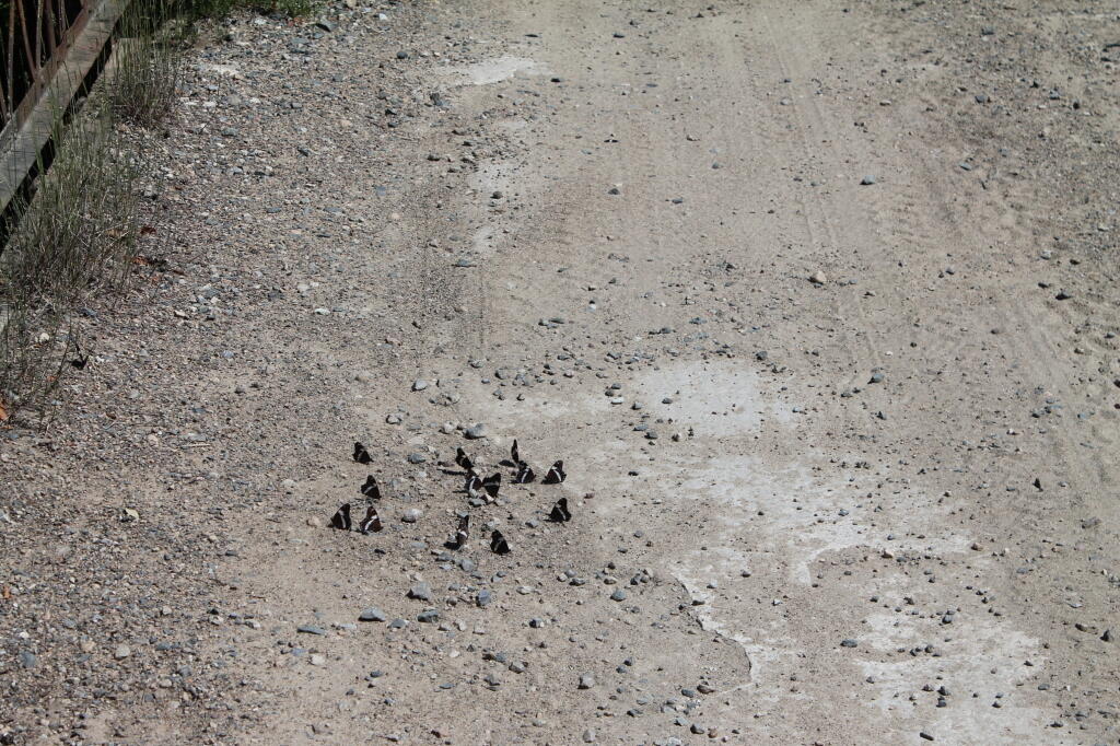
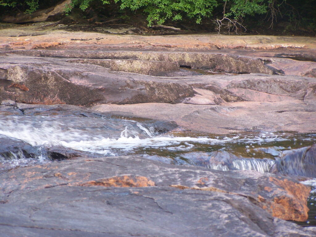
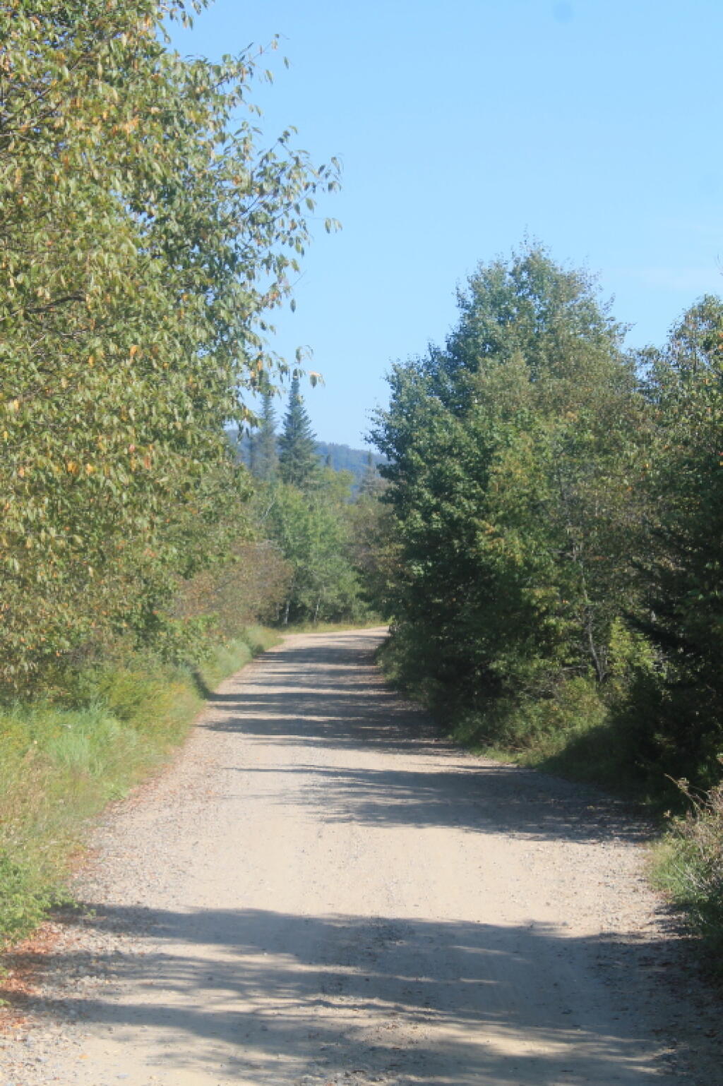
The 17-mile Piseco-Powley Road is a remote dirt route cutting through the Adirondack's Ferris Lake Wild Forest. It features 22 primitive roadside campsites, including four spots at Powley Place where the road crosses the West Branch of the East Canada Creek.
Download the PDF Map Pack with All Maps from Piseco-Powley Road.







1,007 Comments
Hi We are planning a trip to southern Vermont and was wondering if there is any free camping near water. This would have to be a drive in sight or a short walk to get to. I am from Maine so I was wondering if you could help me with a few ideas. Thank you Tammie
Powley Road sites 1-4, 7-9 are either on or a short walk to the East Canada Creek.