Rennselearville State Forest 🗺️

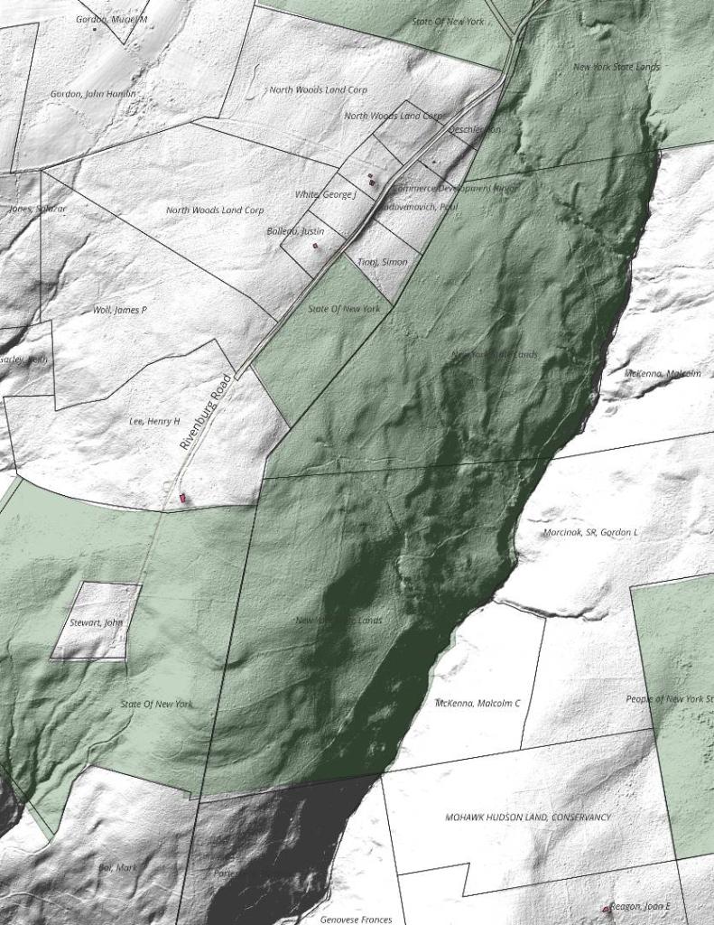
Helpful Hint: While I suggest you look on blog for a downloadable PDF Map, you should be able to print or save this map by clicking the print button on the map above.
Data Sources
Road Trip to Coal Country by Nate Matthews - You can download the KMZ File used in creation of this map.
3DEP Elevation Hillshade. LIDAR and legacy USGS DRG Topo Derived hillshades used as a background. DEM - WMS Service: https://elevation.nationalmap.gov/arcgis/services/3DEPElevation/ImageServer/WMSServer, Layer: 3DEPElevation:Hillshade Gray
Full List of WMS and ArcMap Services - CSV Spreadsheet with all web map services currently used on the blog.
More about Rensselearville State Forest...
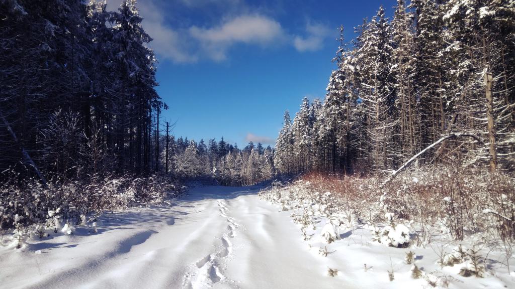
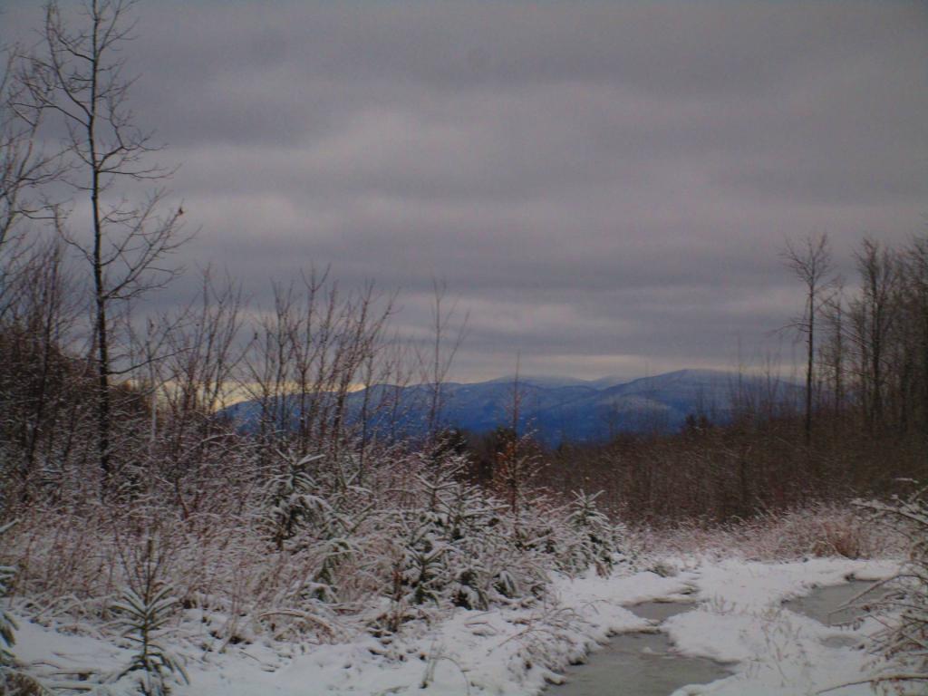
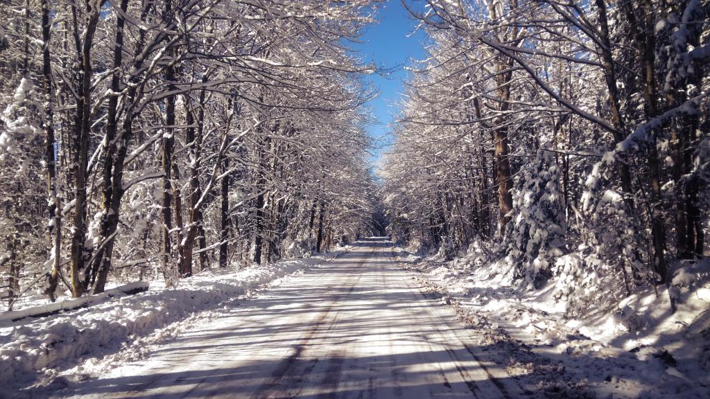
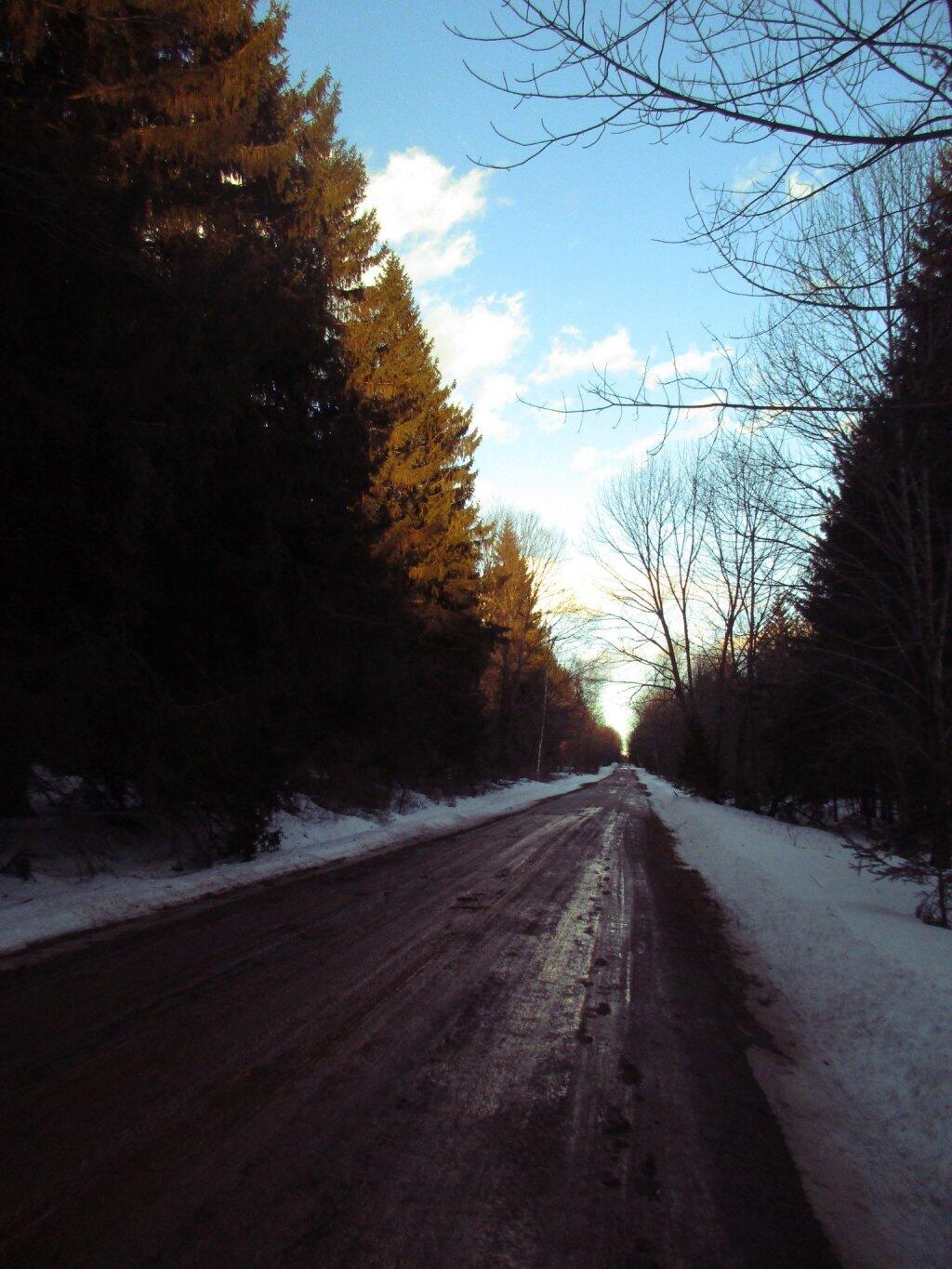
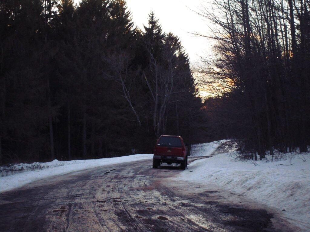
A well-kept secret in the western part of Rensselaerville. Minimal signage, best approached on Cheese Hill Road from County Route 358 or State Route 145 (Preston Hollow), or from Gulf Road off County Route 353. The area has several hilly, narrow seasonal roads--not for the faint of heart. The multi-use trails aren't blazed but are indicated by "Motor Vehicle Trail" signs. Recreation in this beautiful forest includes hunting, trapping, fishing, hiking, cross-country skiing, snowmobiling, mountain biking, nature observation, and birdwatching.
http://www.hilltowns.org/rensselaerville-state-forest.html
Download the PDF Map Pack with All Maps from Rensselearville State Forest.